Ah, ye of little faith... Today began grey, with mist on the tops, despite a forecast of sunshine all the way.
It was still grey and quite chilly when I set out to climb up to Hollins Cross, at about 1,300 feet the lowest crossing point in the ridge between Castleton and Edale, but by the time I'd hauled myself and my pack up the steep path to the top the sun was out and the mists were burning off fast.


The top of Mam Tor, up to the south, was more attractive suddenly than a steep scramble down to the valley (and a long and steep climb out of it) so I followed the ridge, along with quite a crowd of others.

The ridge from Lose Hill (the pointy one in the distance) to Mam Tor is reputedly one of Britain's finest ridge walks. I remember it when the path was rough and uneven, but now it's mostly paved to prevent more erosion.
The views across to Edale and the south side of Kinder Scout were superb.


At 1,695 feet the top of Mam Tor set a new highest for this trek, and by a tiny margin the highest point on any of my treks so far.
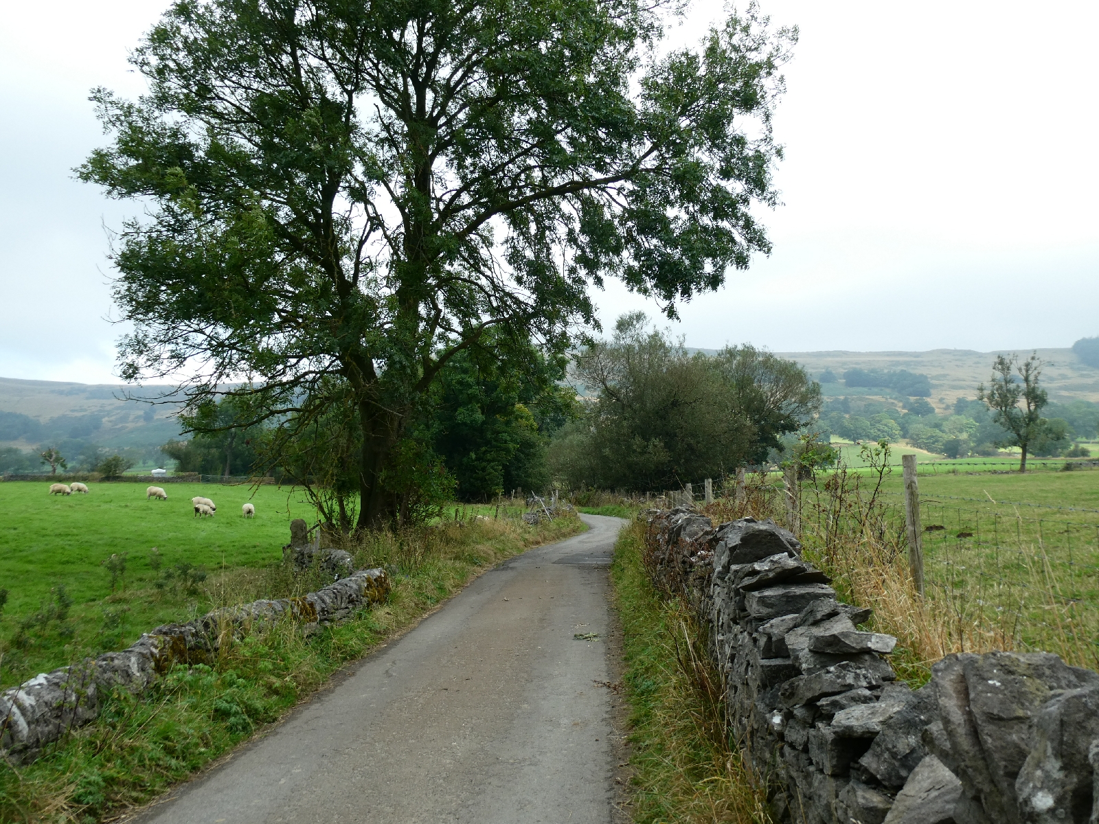
I followed the road below the tor for a mile or two - this was a major road between Stockport and Sheffield until the section above Castleton finally collapsed beyond repair in 1979, but today it seemed busy even if it doesn't go anywhere much.
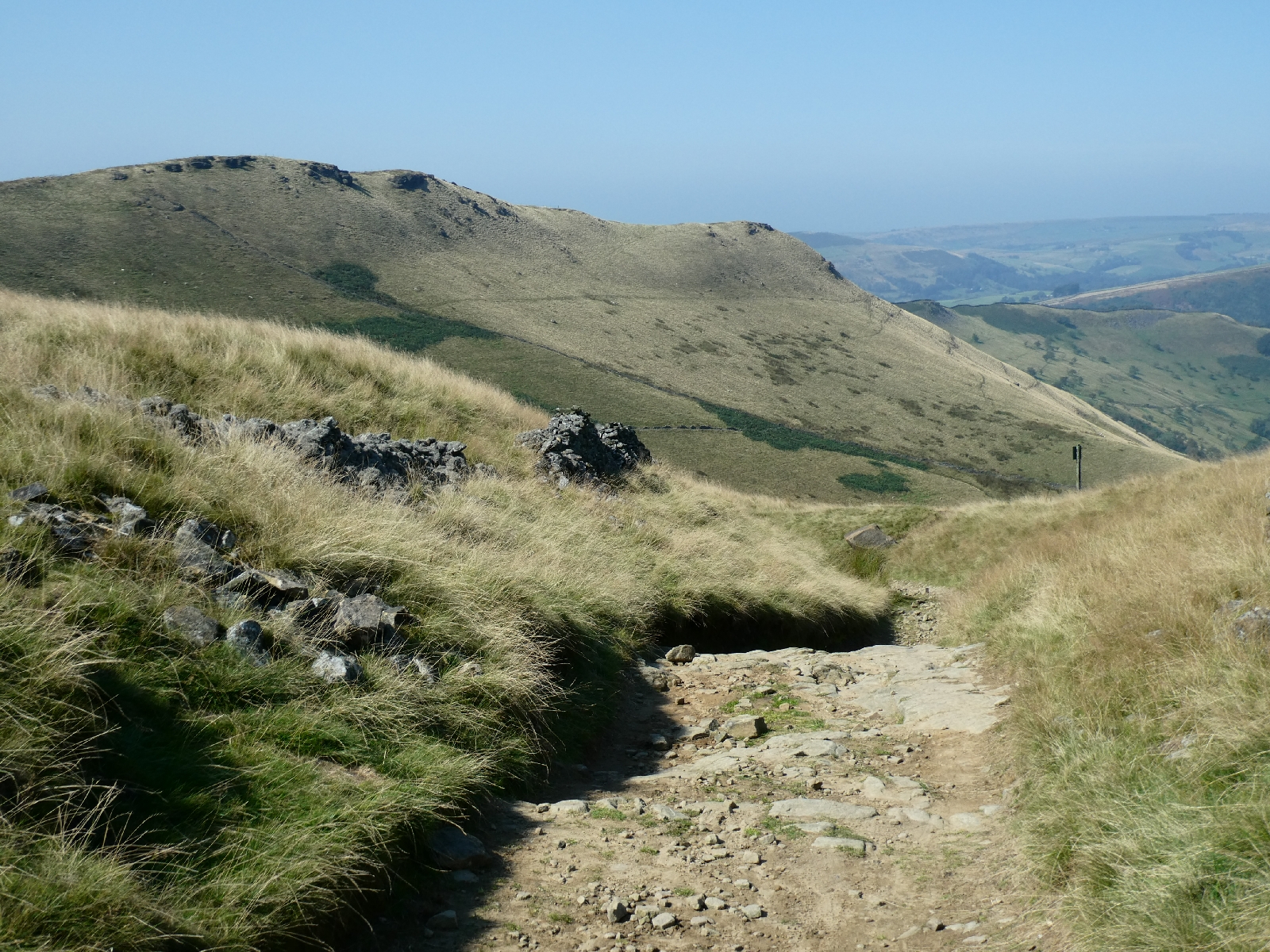
I turned off to join a track leading to Hayfield, part of the Pennine Bridleway, and listed as one of England's most notable lanes.

Lane? For that read mountain track, steep and stony with serious need for walking poles.

The Pennine Bridleway is a linear route from Derbyshire to Cumbria, completely different from the Pennine Way, and open to horse riders and mountain bikers as well as walkers. This section would have been for very experienced riders only.

The three miles or so took me much longer than I'd expected, but the views were simply amazing. It was also really windy, especially in the later stages around South Head, so apologies if any of the photos aren't quite straight.


There is a sharp and long descent from the high point at around 1,400 feet to Hayfield, perhaps a thousand feet lower.

Curiously Google Maps suggests walking from here to Glossop along the busy, and sometimes narrow main road. I did not do that. Instead I followed a little steep lane for about a mile, passed by a truck driver whose vehicle only just fitted the road. He muttered something about the "bloody satnav" as he squeezed by me. Then back to the Pennine Bridleway, which climbs relentlessly to the side of Lantern Pike, touching 1,100 feet before coming back down across fields (passing some handsome horned cows) and past isolated farms to rejoin the roads.

The high sections offered some fine views across to the lowering bulk of Kinder Scout, the long skyline in the picture.

At the road junction I opted for the easy but long and quite tedious option of following the road, eventually passing Charlesworth and wriggling down towards Simmondley and Glossop, with a good aerial view of the town during the descent.

It also offered another opportunity to be amused by driver behaviour. I walk, as the rules say, on the right hand side, facing oncoming traffic. Most drivers pull out enough to give me around 1½ metres, same as a cyclist, which is fine. A few seem intent on murder and swerve sharply at the last minute, or cut past me at less than a metre. You get to spot the type from a distance. There are those who pull right over to the far side of the road, as if they feared I might explode, and others who brake sharply on sight. All very entertaining.
A long day, mostly because of slow progress on difficult terrain, but a very satisfying one under blue skies.
No comments:
Post a Comment