To be a pilgrim...

Less than two weeks now before my next trip, and this one
will have some differences from the previous journeys.
I spent months drawing prospective route lines on computer
maps, and reached a shortlist which included at least one more 250-mile
two-week journeys, but lurking in the background was a long-held fascination.
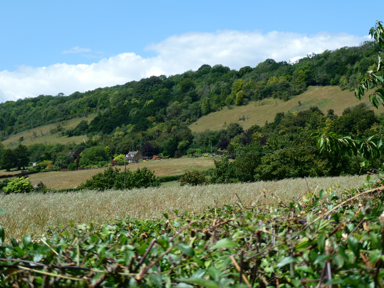
Perhaps because I grew up in Kent, close to the North Downs, the Pilgrims' Way,
Hilaire Belloc’s “Old Road” to Canterbury, has long been on my mind. I set to
work, to see if it had viable accommodation en route, and what the interest
might be along the way.
The result is the journey I plan to start on 29th
June, this time not from London but from the traditional start point of
Winchester, just an hour’s train ride away from the capital. It will intertwine
the traditional route of the Pilgrims' Way with sections of the North Downs Way
National Trail, picking the most scenic or interesting stretches as it goes,
and add in some diversions of my own, trekking around 160 miles and reaching
Canterbury in nine days. That’s an average of just under 18 miles a day, rather
less than the 21 daily miles clocked up in the last couple of journeys,
allowing more time to soak up the history and the landmarks close to the route.
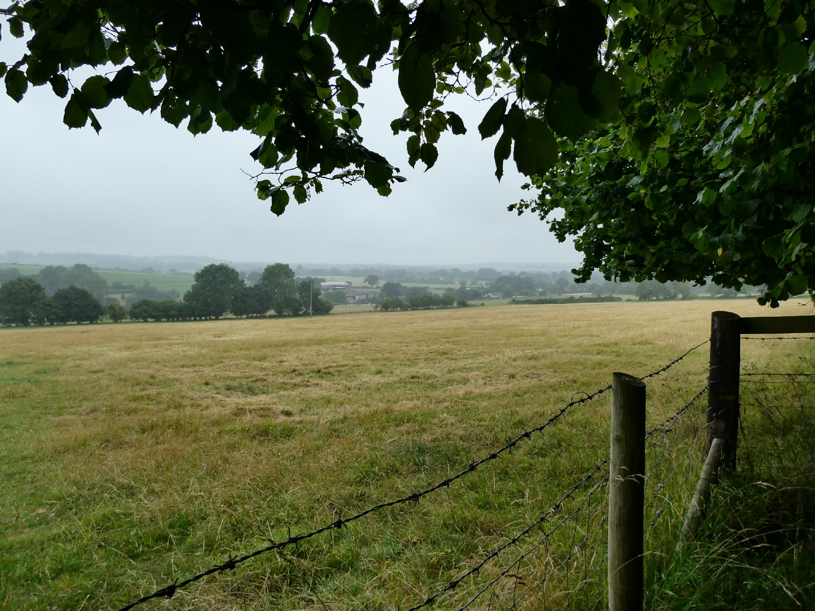
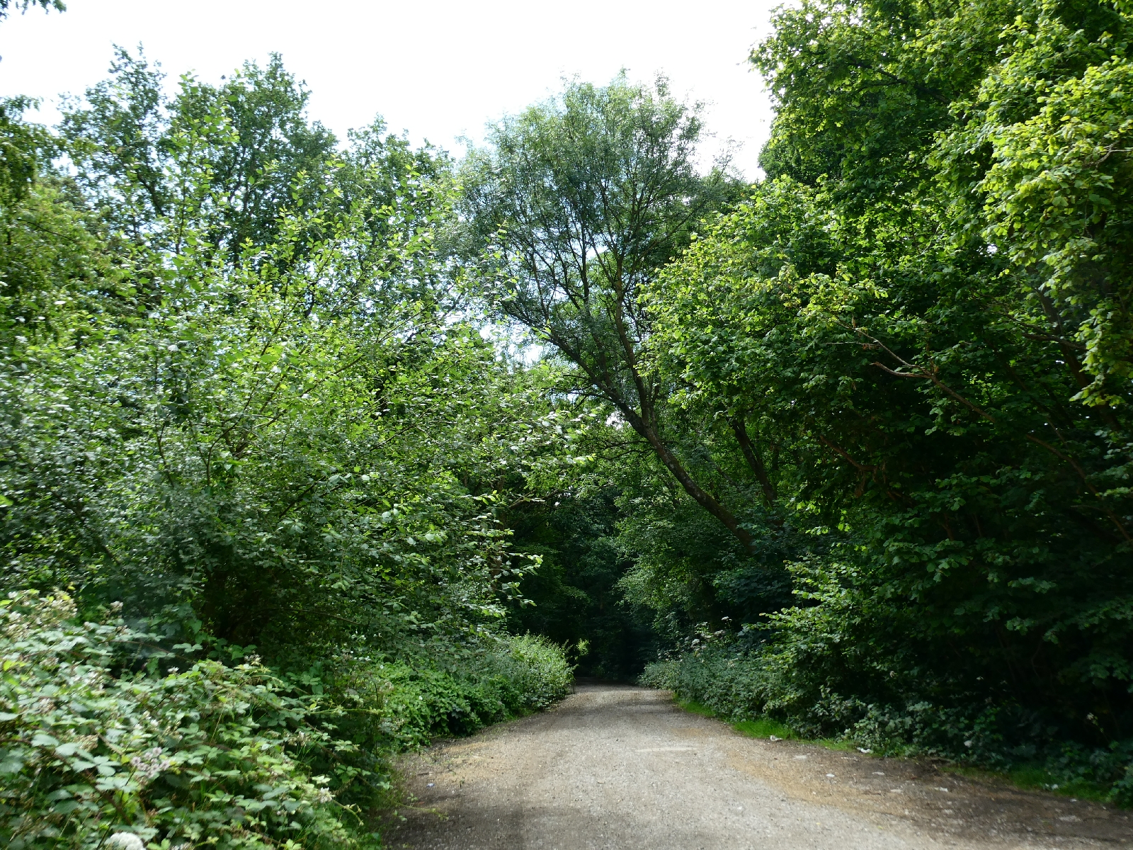
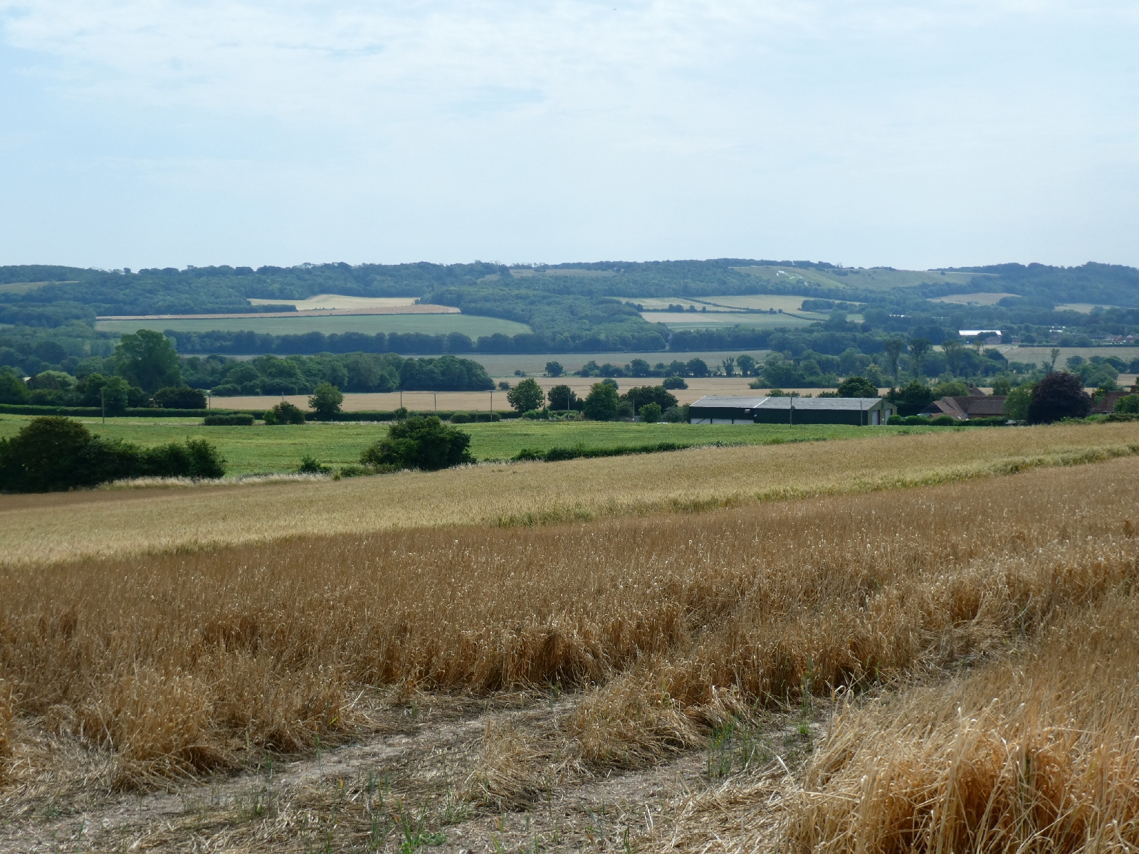
The line of the Way, some of which is now buried under trunk
roads or lost without trace, follows an ancient trackway, thought to be part of
a trading route from the southwest through to the English Channel, perhaps
carrying tin from Cornwall for export to Europe, and other goods in the opposite
direction. Unlike many downland trackways it does not follow the tops of ridges,
but runs below them, avoiding sticky clay on the tops, and other dangers in the
forests which once covered the land below. Pilgrims from the west, or those who
landed at Southampton, on their way to the shrine of St Thomas Becket in
Canterbury, would have followed existing routes, of which this ancient trackway
is one. I am no pilgrim, but I shall follow the tradition of starting at the
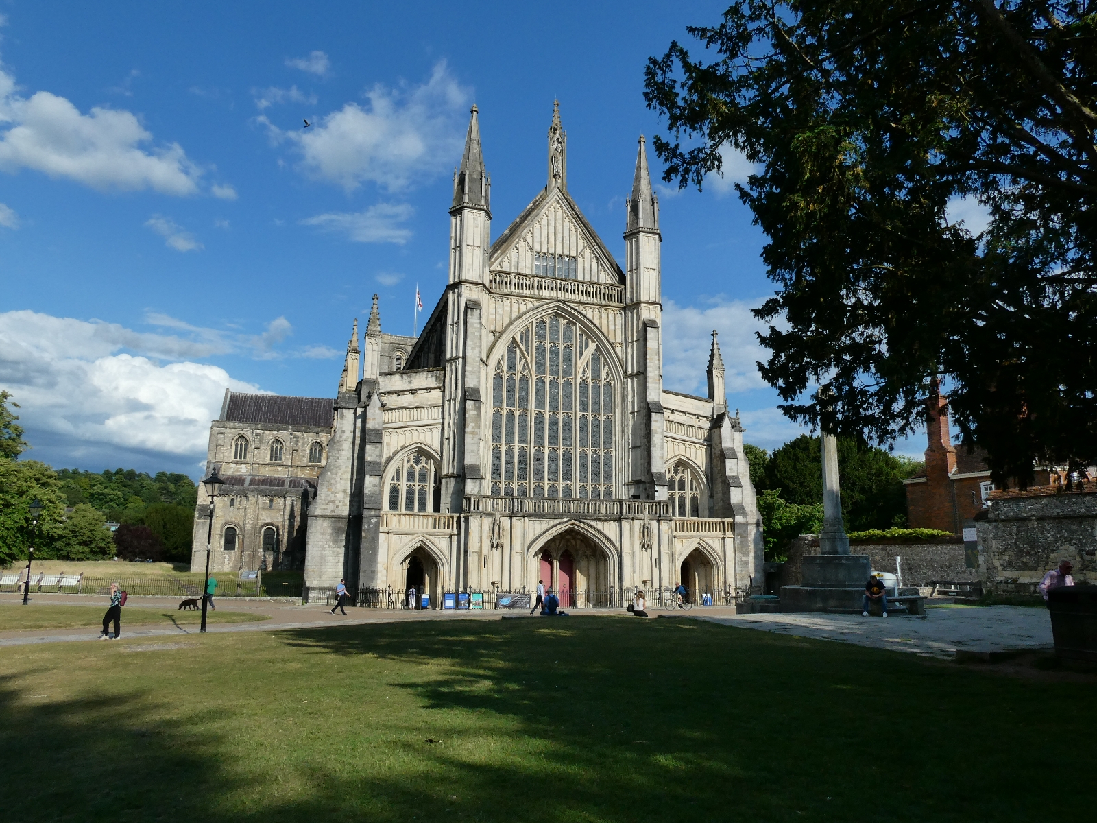
tomb of St Swithun, in Winchester Cathedral, and ending at Canterbury Cathedral.
St Swithun’s name is linked in folklore with a long period of rainy weather, so
I shall be hoping the folklore has got it all wrong.
Training was seriously messed up by weeks, literally weeks,
of lousy weather, leaving footpaths impassably muddy and bringing many days cut
short or cut out by rain. Only in the last month has it been possible to gear
up seriously, building distance with a backpack loaded with old clothes and
weights, but now I feel ready to enjoy the journey. As previously there will be
daily updates on this page, and – I hope - loads of photos.
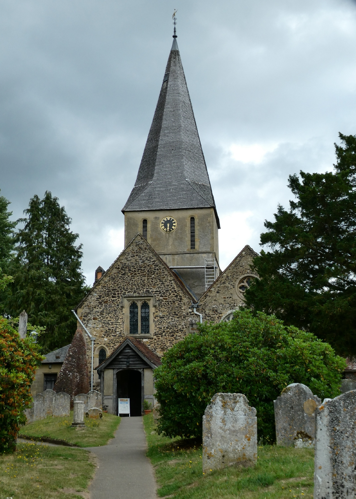
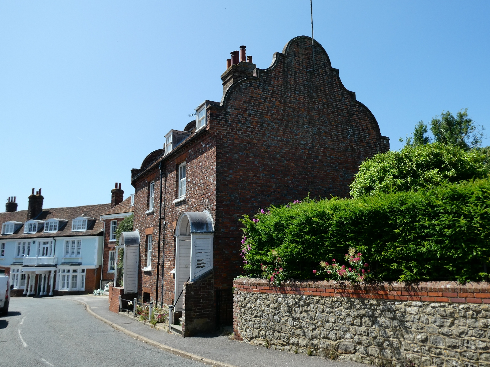
Day one - Thursday 29th June - Winchester
At least when I'm walking I can pretty much rely on my feet to
travel at a certain rate. Sadly it doesn't work for trains. After an
"incident on the tracks", cancellations, diversions and a delayed
wandering ride through the countryside I reached Winchester three hours
later than planned for today.
That ruled out much exploration
of the city, and a visit to the cathedral, specifically to find St
Swithun's tomb, so I'll do that tomorrow morning. It also explains why
there are so few photos for today.
Having said all that, the sun has shone, drying up some earlier heavy rain, and I dined well in the city this evening.
All set up then to begin the journey properly tomorrow...
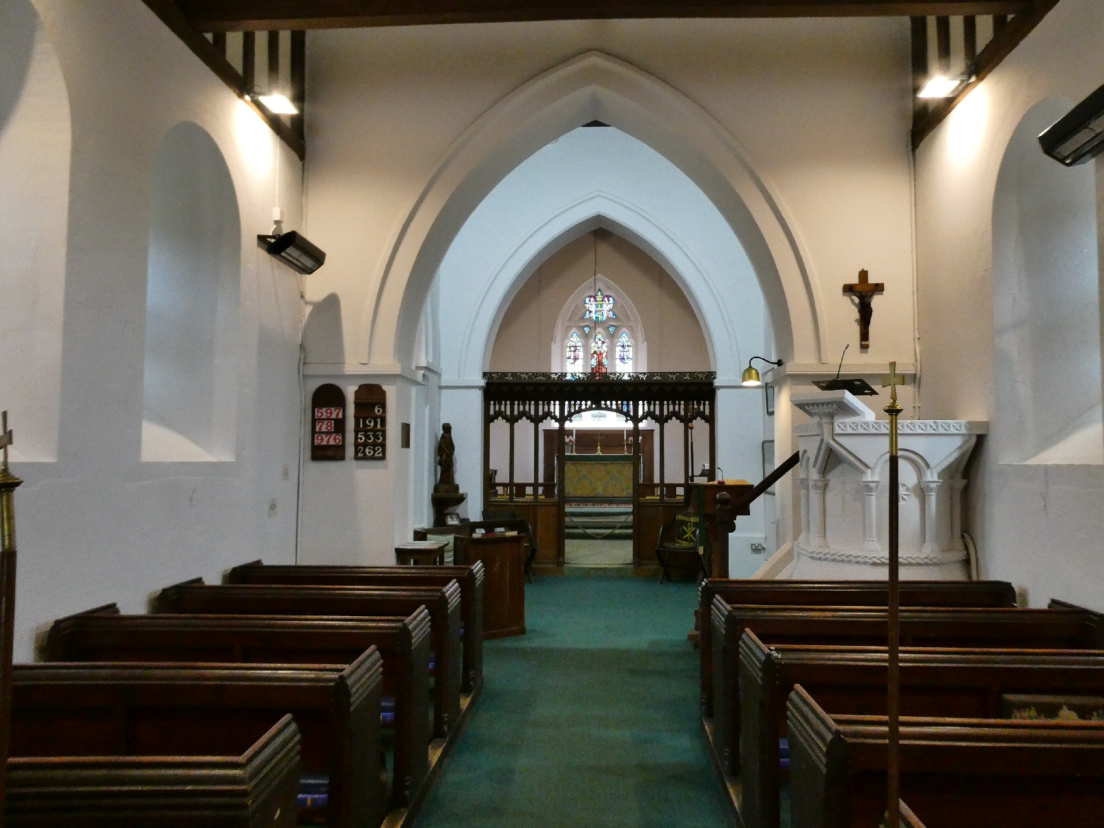
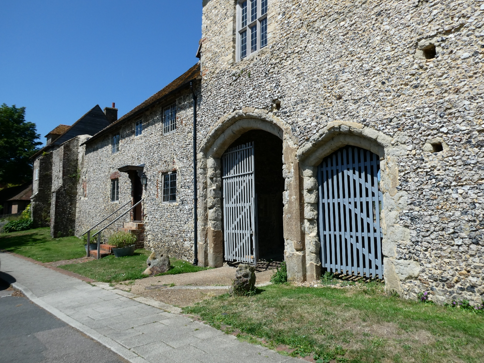
Day Two - Friday 30th June - Winchester to Four MarksThis morning I caught up with yesterday's plans and visited
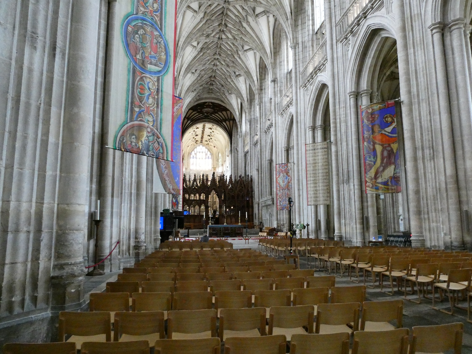
Winchester Cathedral as soon as it opened. While not jaw-dropping it is
very impressive. I took a few moments, passing by Jane Austen's tomb,
to find the shrine to St Swithun, the traditional starting point for the
journey to Canterbury. It has a "sunshine" side and a "rain" side, so
some care is needed to avoid triggering soggy legends.
Swithun was born in Winchester, and became Bishop a decade before his
death in 862. His remains were first buried outside the then abbey
buildings, but on July 15th 971, when they were dug up and moved inside
there was a violent storm, followed by days of rain. Hence the legend...
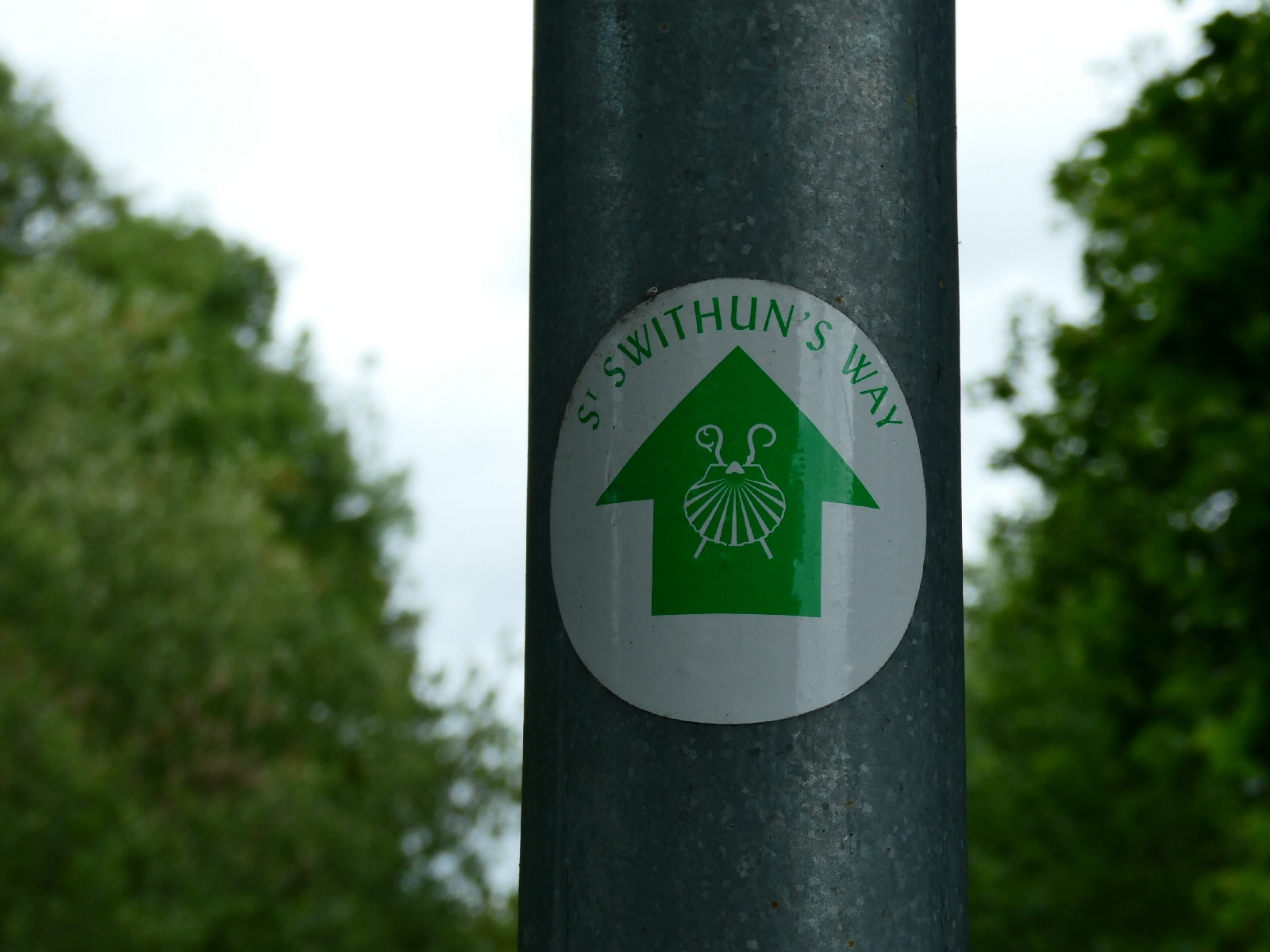
The route as far as Farnham takes his name as St Swithun's Way, and
today I was encouraged that it was mostly well defined and properly
waymarked.
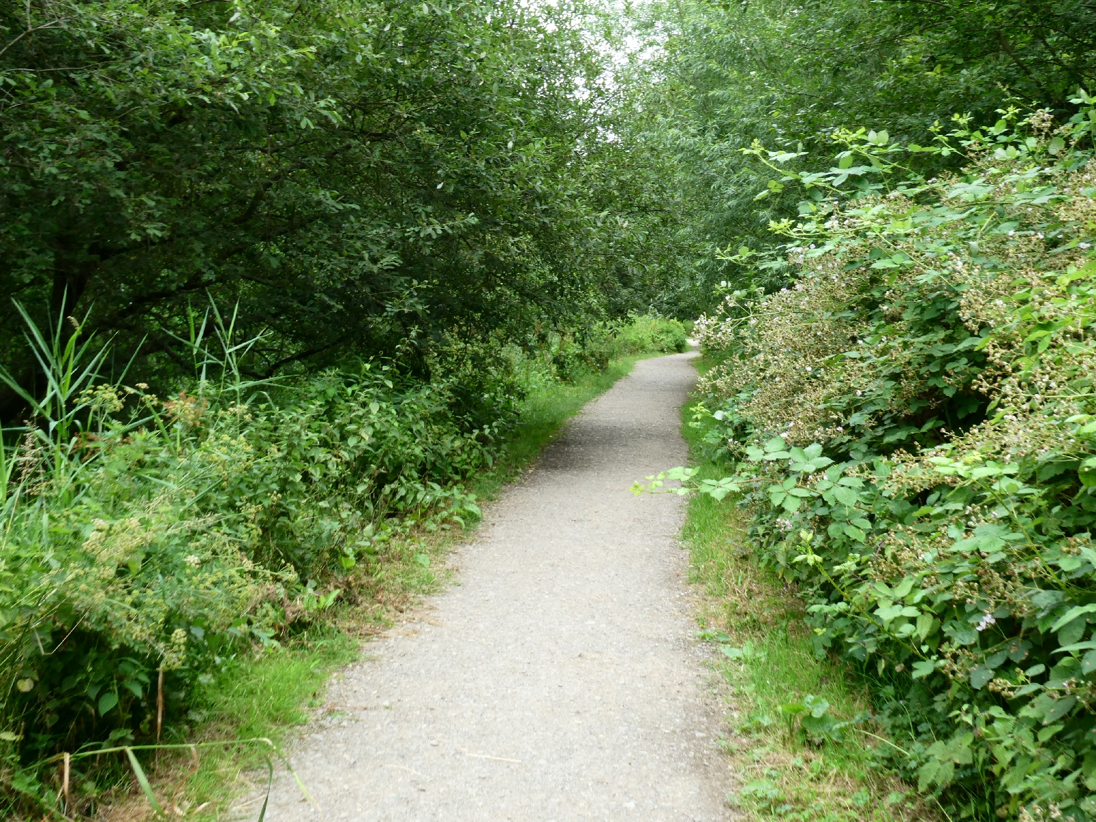
It leaves Winchester to the north, passing all that remains of Hyde
Abbey before diving straight into the countryside. The first couple of
miles, to King's Worthy, follow narrow streams across water meadows
before hitting civilisation again in tunnels under dual carriageways.
Sadly the churchyard at King's Worthy was today a building site, so no picture of the 13 century church could do it justice.
The path comes close to the River Itchen just as it passes under the M3
motorway in another tunnel, then reaches the little church of Martyr
Worthy.
In my time I've come across many landowners' efforts to show how much
they really resent having to allow walkers to cross their land, but none
so subtle as what came next. It was a stout metal kissing gate, very
solidly constructed. I could not get through it with my backpack on, but
my backpack wouldn't go through on its own either. I had to lift it
over the gate and squeeze my own slim form through at the same time. I
can't imagine how many slightly larger people would manage.
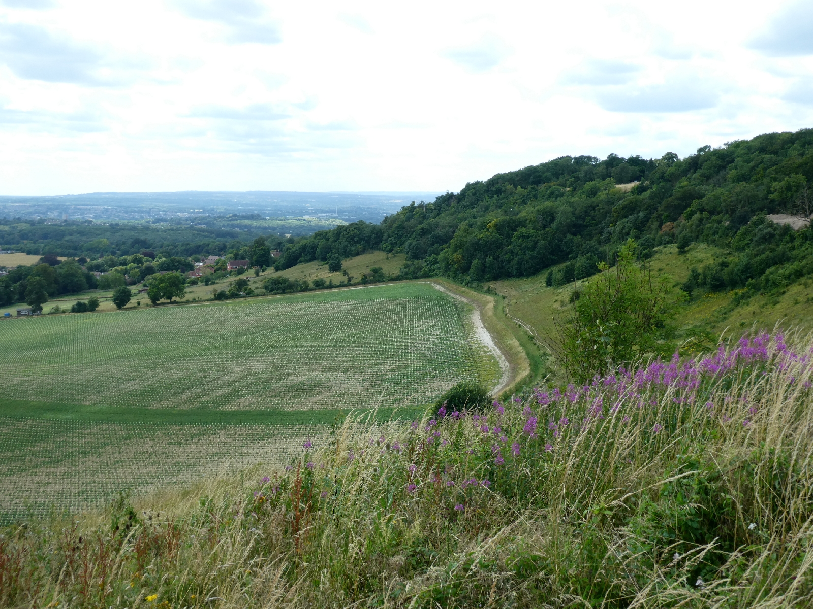
Just beyond the magic gate the weather forecast threatened to come true,
and it drizzled for a while. There would be more of that as the day
progressed.
The route went on to Itchen Abbas, with another small grey stone church,
and a delightful little millrace, then contoured the edge of Avington
Park, in other times the place to which Nell Gwynne was sent after
Winchester turned against her reputation.
Occasional signs here confirmed that this route is shared with
the so-called Camino Inglès, a recent recreation of the Way of St
James, which goes from Reading to Southampton, then follows a series of
routes to join the original "Inglès" in Northern Spain.
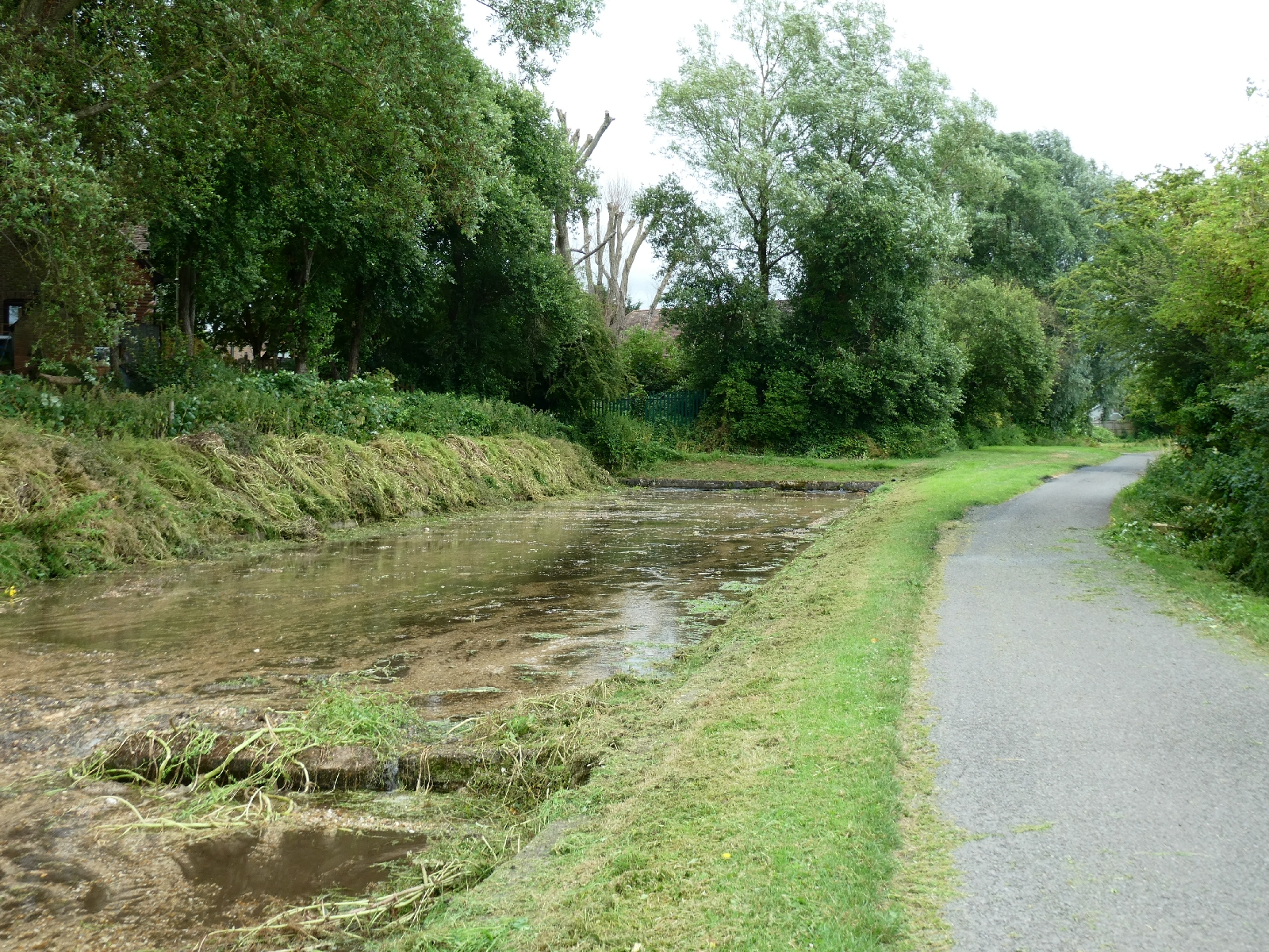
After Ovington, where at one point the little road has water lapping on
each side, I crossed more fields through more drizzle, and traced narrow
lanes through to the edge of Alresford. The town is famous for its
watercress production, among other things, and watercress beds in
various stages of use or dereliction were alongside this part of the
way.
A long lane led to Bishop's Sutton, marked by the 17th-century Sutton
Manor, then field paths to a point where I gave up worrying about
drizzle and paused for lunch.
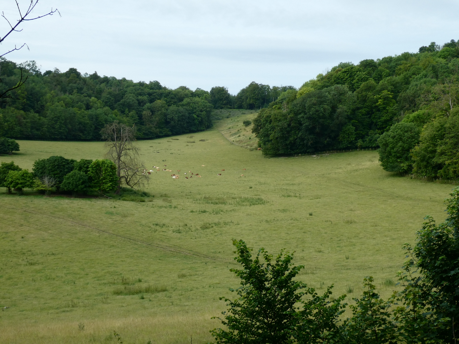
I briefly became a subject of interest to a whole field full of cows here.
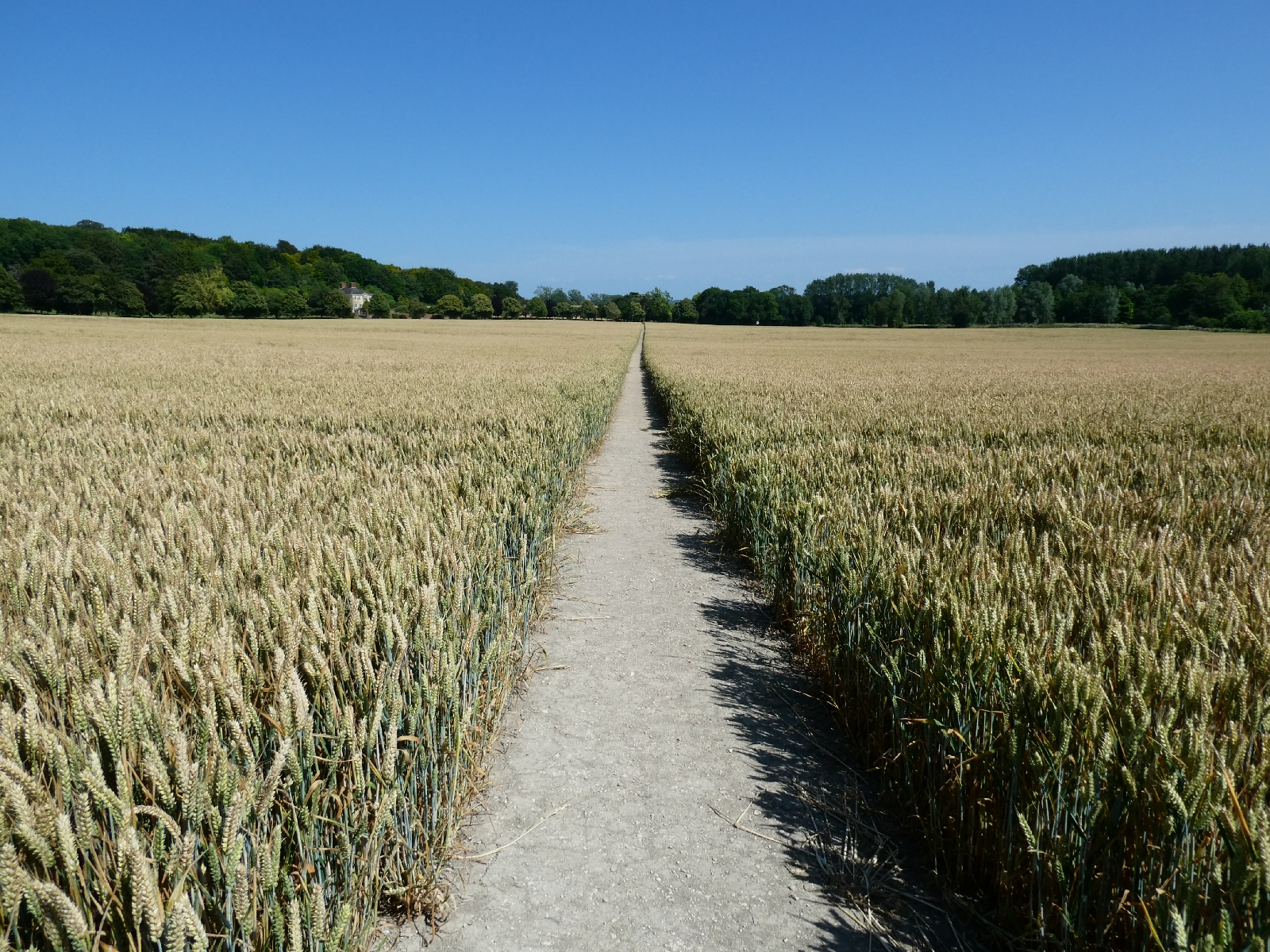
Onward then, still impressed by how well the path was defined, although
even when they have been cut back, a field of cabbages can soak the
legs. I passed through Ropley, a village built around an irrational
collection of lanes. Its 12th-century church was almost destroyed by
fire in
2014, but has now been rebuilt: it reopened only last year.
After Ropley the drizzle worsened, I finally caved in and put my
waterproofs on, then climbed a long hill across fields and through woods
to reach Four Marks, where tonight I'm in a budget hotel.
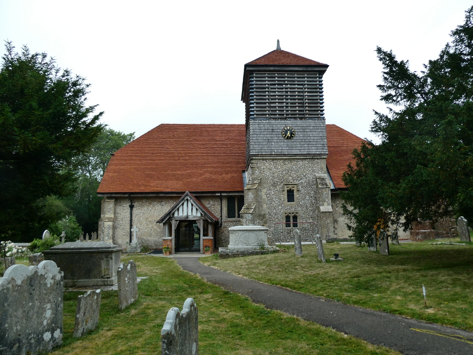
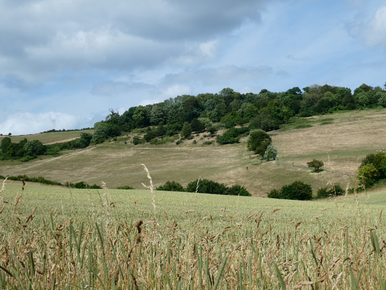
Day Three - Saturday 1st July - Four Marks to Farnham
A much better day for weather, early greyness fading eventually
into light clouds and blue skies. It really does lift my mood for a long
stroll: today's almost 19 miles came more easily than yesterday's damp
16.
I left Four Marks by a long slog into the village, then a
labyrinth of urban paths, finally rejoining St Swithun's Way - here
sharing its route with the Writers' Way, a 17-mile route with
associations to Jane Austen, Gilbert White and William Cobbett.
Long straight stretches under trees and some field
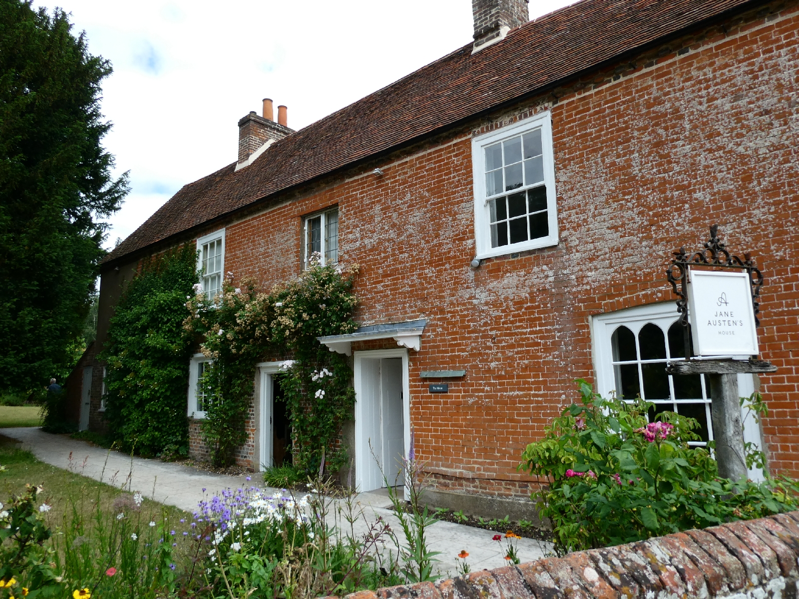
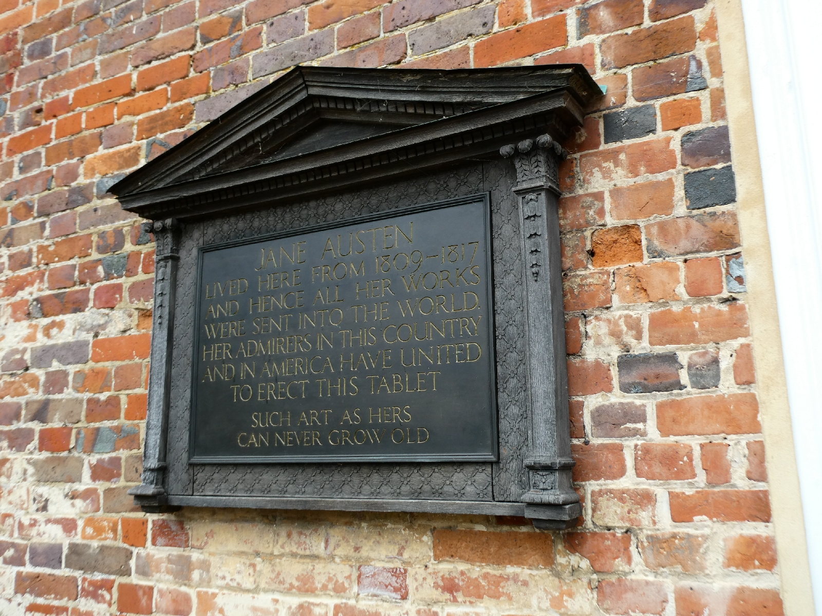
paths led to Chawton, where the pretty village makes a living out of
Jane Austen's House, a fine red-brick place in which the writer spent
the last eight years of her life and wrote, revised or prepared six of
her novels.
Given the need to prebook a visit, and my backpack, I looked outside and passed on.
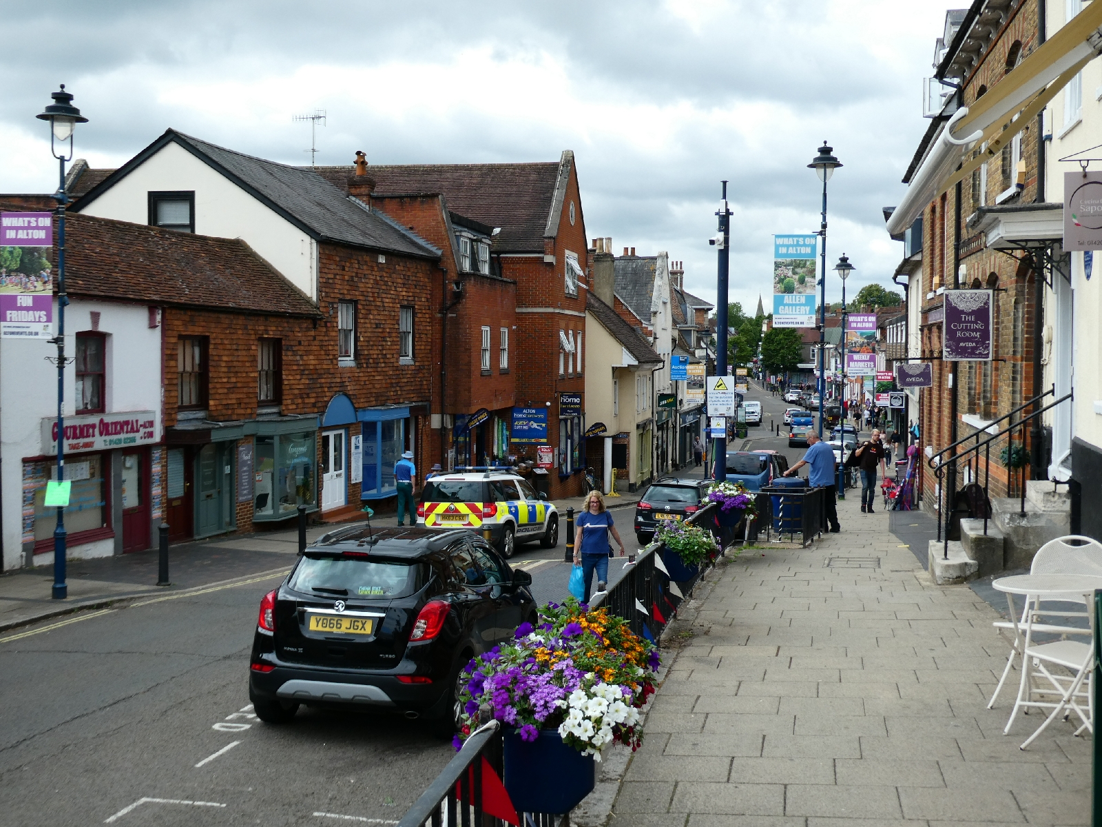
The busy little town of Alton is just a short stroll further.
Here the route gives up on the crowded High Street
and follows paths which run parallel, through to the pretty 13th-century
church of Holybourne.
The ancient pond behind the church is a feeder for
the River Wey. Holybourne continues the literary connections, as
Elisabeth Gaskell died here in 1865.
More field paths - very
much the theme of the day - led through the next couple of miles to
Upper Froyle, where I paused for lunch in the churchyard.
The original mediaeval church was much enhanced in
the 19th century, and is unusual in that it is dedicated to the
Assumption, not to a saint.
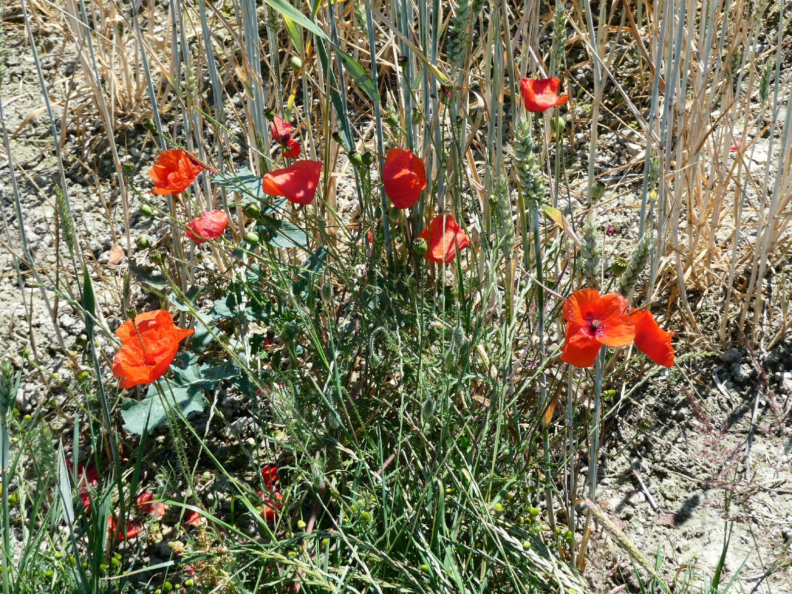
More fields, one decked with what I took to be
cornflowers, although I'm no botanist, another with clouds of daisies,
led on to Coldrey and then Pax Hill.
Hidden behind trees, the house at Pax Hill was the
home of Baden-Powell. On his death, his wife gave it to be a
headquarters for the Girl Guides. Today it is a nursing home.
In
the fields further on I heard a skylark, only days after saying how I
had not heard one in years. This one was making up for it with a very
persistent song.
Next up, a dark avenue of impressive ancient trees
leading up to the church at Bentley, and then the only section of
today's route which was poorly marked and confusing, to reach a row of
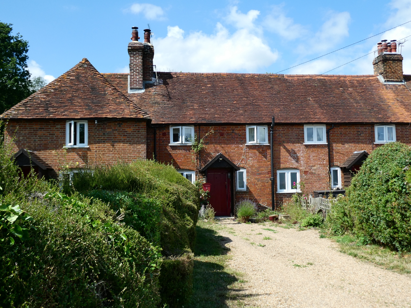
lovely redbrick cottages at East Green.
From here, St Swithun's Way takes a bit of a
circular jaunt to reach Farnham, probably not the more direct route any
real pilgrims might prefer, but the paths were fine and the scenery not
so bad. Here, almost unnoticeably, I passed from Hampshire into Surrey.
Finally to Farnham, a place of fine Georgian
buildings and masses of traffic, and eventually to my bed for the night
on the edge of the town.
Day Four - Sunday 2nd July - Farnham to Newlands Corner
There is something to be said for being on the
right edge of a town - escaping it is very easy. So it was this
morning, as I followed a track alongside the infant River Wey and soon
left Farnham behind.
In a short while the track crossed the North Downs Way national trail,
not far from its official starting point. This would provide much of my
route for the rest of the journey, intertwined with the Pilgrims' Way
where the two diverge.
The national trail climbs a short hill then crosses a field to enter Runfold Wood, much beaten up in the storms of
1987 and
1990, but now restored as a nature reserve.
I left the trail after Farnham Golf Club to join a stretch of the
Pilgrims' Way, now a road, to the village of Seal, with a pretty
12th-century church.
From just beyond here, where I watched three young men on mountain bikes
ride indifferently past a large and very clear "No Cycling" sign, the
North Downs Way continues as field path, then as woodland holloway.
Despite its name, here, and for several miles ahead, the trail follows
the sandstone ridges of the Surrey Hills rather than the beginnings of
the chalky North Downs. It is likely that the ancient route went along
the ridge of the Hog's Back, visible across a little valley, but that
line is now buried under the two carriageways of the A31.
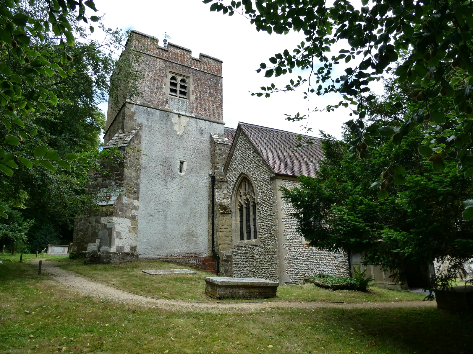
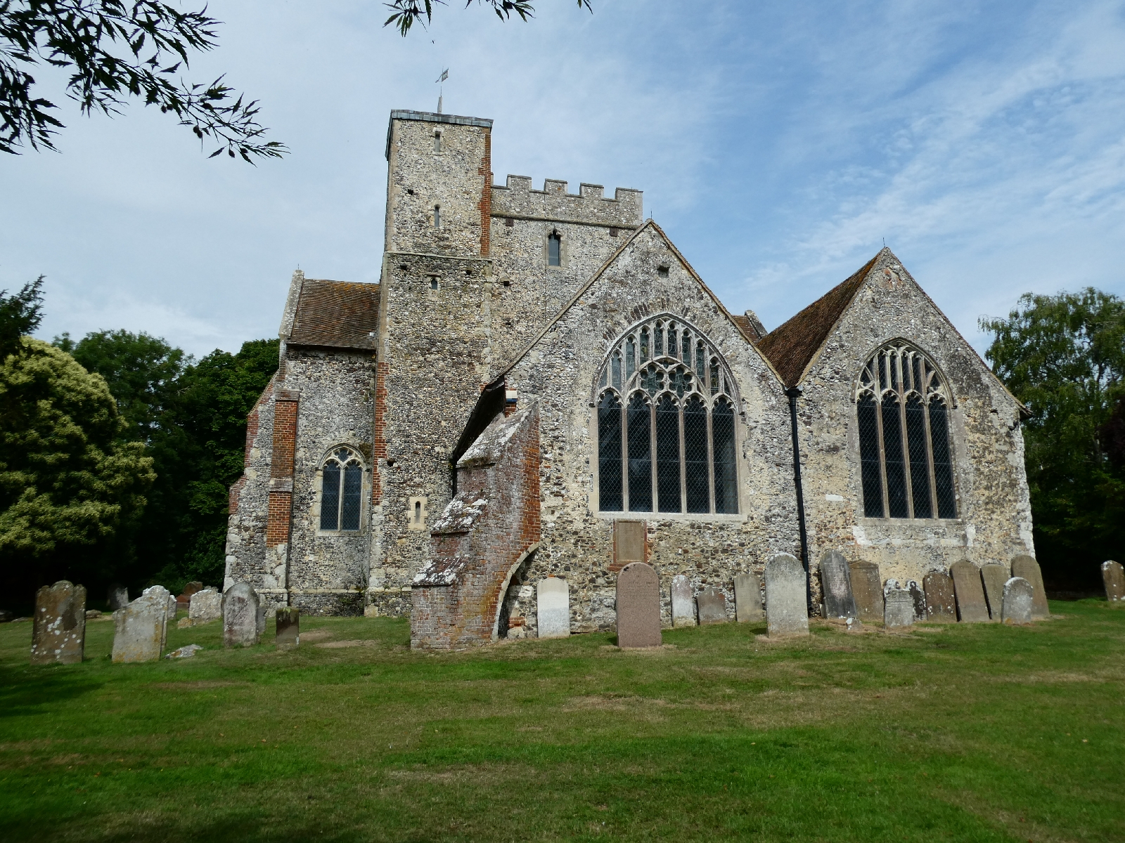
The path emerges on to roads as it reaches the pretty village of Puttenham, with a church which apparently dates from about
1170, the year of Becket's murder.
Around here the first proliferation of pilgrim names appears, from the common "Pilgrim Cottage" to more elaborate variations.
For the way itself there is some debate about the
apostrophe. Should it be "Pilgrim's Way" (one pilgrim), or "Pilgrims'
Way" (many pilgrims) or just "Pilgrims Way" (who cares?)? Most road
signs take the last option, which seems grammatically shaky, I am using
the second, in line with the Ordnance Survey.
From Puttenham the route goes through more woods beside yet another golf
course before sneaking underneath the A3 just north of Compton. Here
there is an artists' village complex, the Watts Gallery, founded in
1901 and apparently famous for its tearoom.
More woods, a few ups and downs, and a short stretch of road brought me
to Artington, just south of Guildford. Up a short steep hill from here
are the ruins of St Catherine's Chapel, built as a grand chapel of rest
in
1371, but in ruins for centuries, long before Turner painted it.
The route descends steeply here to the River Wey, crossed by a wooden footbridge. The ancient ferry here stopped working in
1963 but the bridge was built only in
1978, cutting out quite a long diversion.
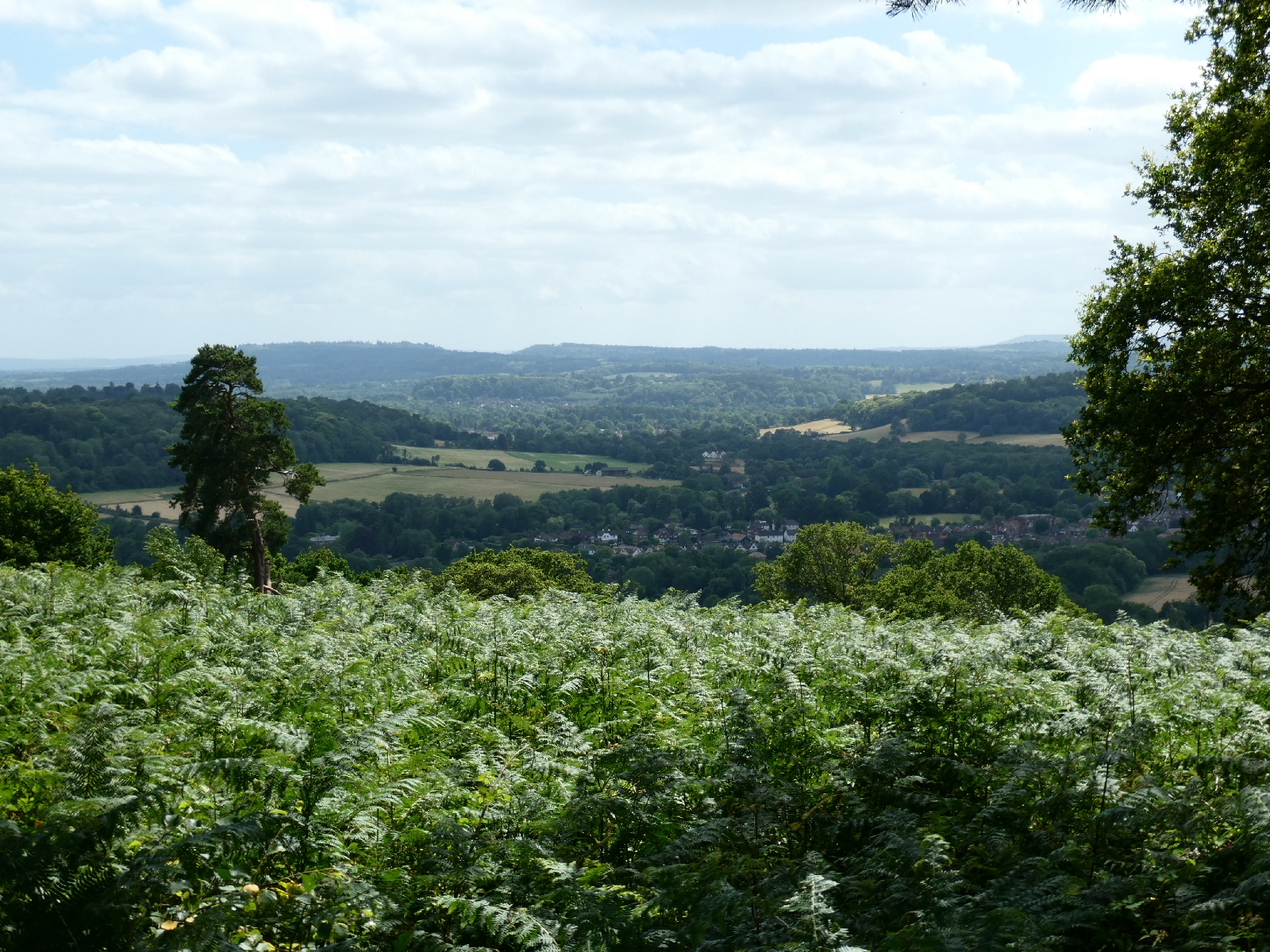
Not far beyond here the climb begins to St Martha's Hill, its 570ft top
crowned by the church of the same name. The little church with its plain
functional interior dates from around
1100 but was restored in the
1850s.
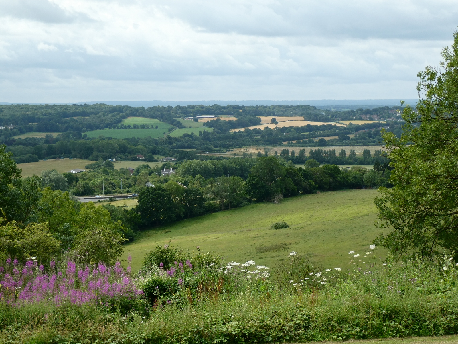
The isolation of the hill means that the views
are superb, claimed to look over seven counties, and I count myself
lucky that the weather today was good.
After the hill I left the national trail behind to follow the pilgrims
once more, across fields and then down a knee-crackingly steep slope to
join a little lane.
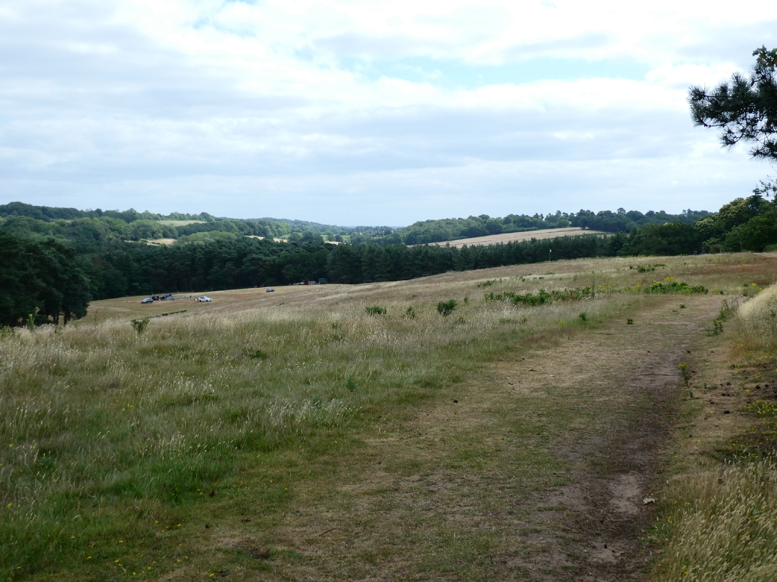
I started here to make the first real ascent
of the downland escarpment, a long stony grind up to Newlands Corner,
also renowned for its views.
The final few hundred metres to my hotel for tonight were along a main road, so the less said about that the better!
Day Five - Monday 3rd July - Newlands Corner to Reigate
Even though I had to start the day by reversing last night's main
road trot, it began well, and in sunshine. Back at Newlands Corner I
rejoined the North Downs Way going east, which here runs near the top of
the chalky escarpment.
A few yards along there is a steel sculpture called the Optohedron (Will Nash), one of a series dedicated to hidden views.
I needed to buy something for lunch, so I left the
ridge and took a path which plunged steeply downhill, all the way to the
Silent Pool (now better known for its gin distillery than the pool
itself)
Just beyond is the Catholic Apostolic Church of
Albury Manor, built in the 1830s in rampant Gothic style. The church is
actually a Protestant movement despite the name, and there are only a
handful of buildings dedicated to it. This one, sadly, is now closed.
Field paths took me to the village of Shere,
entering past a ford. It's an attractive place with a grand spired
church - and a small supermarket.
A couple of miles further is Abinger Hammer, its
history in the forging of iron clear from the name. The clock which
overhangs the road dates from the early 1900s and features "Jack the
Blacksmith" who strikes his bell on the hour.
Time then to rejoin the trail, and thus to climb
back up the ridge. What began as a lane shrank to a track, and then to a
brambly narrow path as the gradient steepened, but the final stretch
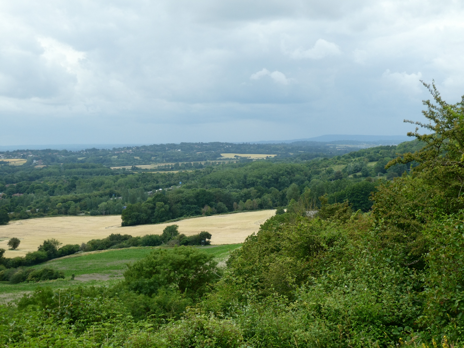
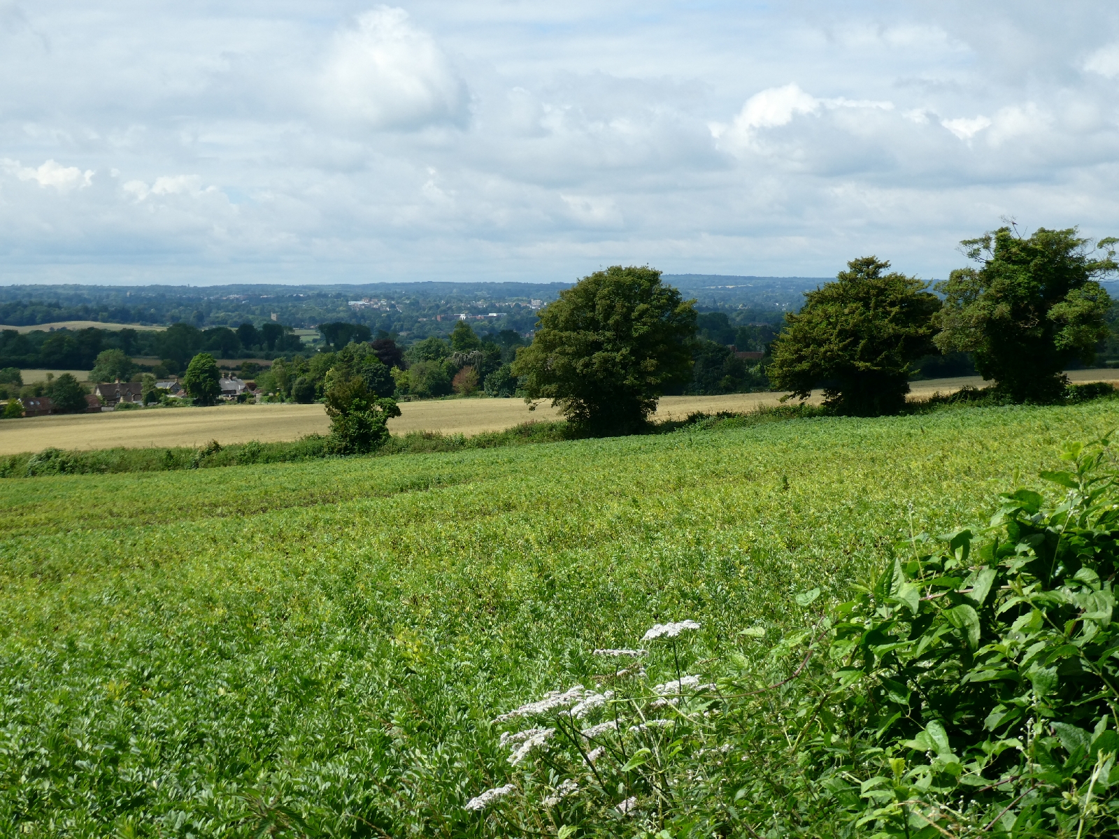
was wider and blessed with a fine view.
From here the national trail is a characteristic
series of switchbacks as it follows the downland edge, with occasional
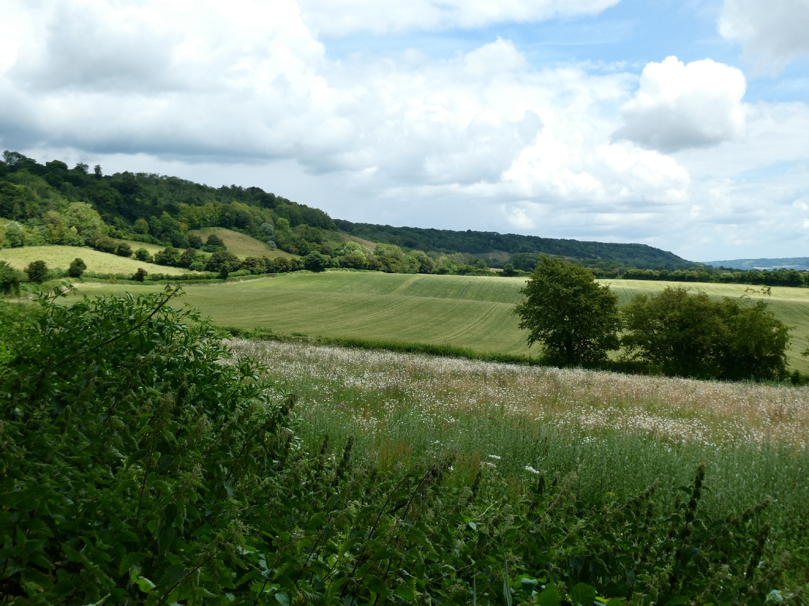
fine views across to the Surrey Hills.
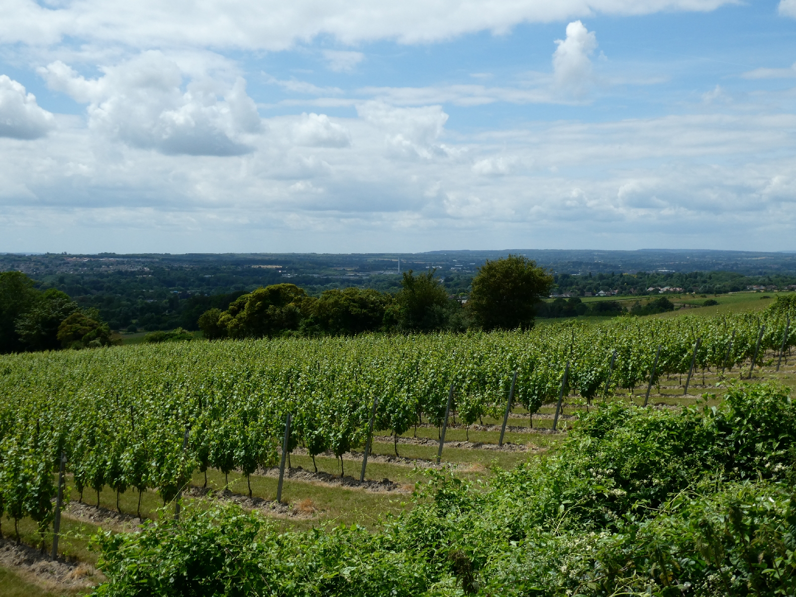
After Ranmore Common it begins a slow descent
towards Dorking, passing the edge of the vast vineyards of Denbie's
winery, the largest acreage, I think, of vines in the country. There is a
good prospect of Box Hill across the valley.
At the bottom is the dual carriageway of the A24,
where the official trail route goes 600m north to a subway crossing,
then 600m back again on the other side. The road was not busy - I went
straight across.
Next is the crossing of the River Mole,
traditionally using the 17 stepping stones. I'm not sure of my balance
with a full pack - I took the footbridge.
Then the climb up Box Hill. It is not very big,
only 570ft, but the ascent is cruelly steep, mostly now on sets of steps
formed in the path. The view is good, if not spectacular, but the hill
is very accessible - by road at the top - so quite busy today with
visitors.
The trail leaves the popularity of Box Hill behind and resumes its woodland ups and downs, some of them very steep.
It rained briefly as I approached the next road,
near Betchworth Station, but stopped almost as soon as I had put on my
waterproofs.
Soon after leaving that road the national trail
merges with the ancient line of the trackway which became the Pilgrims'
Way, and follows it under the shadow of Mount Hill, Coneybury Hill and
Juniper Hill before turning off to climb steeply to Colley Hill, for the
view from the top. I was quite grateful not to be walking the old track
with peas in my shoes!
I'd already decided I did not need yet another
steep climb, and was glad that I had, because at that moment the rain
returned with a vengeance. It was a very heavy shower lasting about
twenty minutes, long enough to make the paths greasy and slippery.
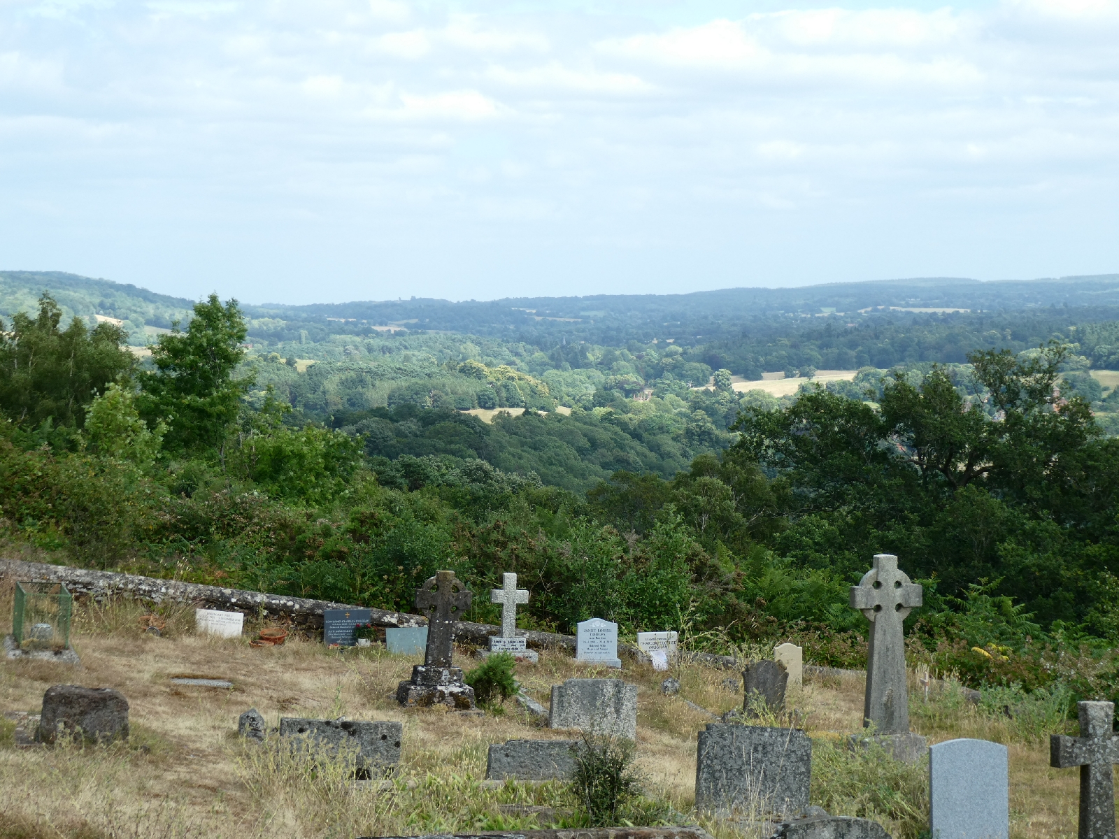
It stopped suddenly just as I reached Reigate Hill, a couple of minutes from my hotel for the night.
Day Six - Tuesday 4th July - Reigate to Dunton Green
As always, the different weather forecasts disagreed over
the details but they all suggested some serious rain on the way in
early afternoon. To get some distance done before the predicted downpour
I left Reigate early, also aware that today, at a little over 20 miles,
was the longest stage of this whole journey.
First on the agenda - Reigate Hill, the steep path to the top started
just beyond my hotel, and ground upwards relentlessly. Rejoining the
North Downs Way, it crosses the deep cutting which carries the main road
on an old iron bridge (
1901), then reveals a splendid view of the town.
Ahead of the expected rain I had reworked my route to use roads rather
than paths, because in the wet they are easier and faster, and need less
navigation, but in the morning sunshine I took to the national trail
through Gatton Park and across the fields (and the M25) to Merstham.
The church, mostly from the 13th century, retains the patronage of the Archbishop of Canterbury.
I let the trail take its wanderings and stayed on the road east of here,
which crosses two major railway lines and a huge motorway junction
before slipping into the countryside. Rejoining the trail meant another
very steep climb up White Hill, but the views again repaid the
perspiration.
The route then follows roads, and as the skies gradually darkened I was
grateful. I had one more section to go where footpaths would be the only
option, so I hurried. No time to sample the famous old inn just a few
yards off the route!
The footpaths through to and beyond the crossing of the A22 - yet
another bridge over yet another dual carriageway - were wriggly and not
always easy to follow. In some parts of the North Downs Way it seems the
signposts may not have seen much attention since the route opened in
1969. All the same, I reached the road over Gangers Hill, again good views, perhaps ten minutes before I felt the first raindrops.
Remembering the dire forecasts I paused to put on full waterproof gear -
jacket, overtrousers, backpack cover... It drizzled and spotted a
little, but rained properly for perhaps five minutes.
Along that hilltop road I passed Botley Hill, at 885ft the highest point
on the North Downs and on my route, but with just road and trees, no
views, it was hard to feel a buzz about it. I dropped down from there on
a soggy little path parallel to the busy road, and reached the very
tall spire of the 18th century Titsey church.
Here the route is pure Pilgrims' Way, following roads along the foot of
the downland escarpment for about five miles. Here also it was obvious
that it had really rained, witness some huge roadside puddles, and on
both sides I could see dark rainclouds, but somehow I missed the drama.
Along the way there were more vineyards, associated with a winery in nearby Godstone.
And along the way I passed unnoticed into Kent.
The road ends at the edge of Chevening Park, where in
1792
a former owner decided he disliked people walking in his grounds and
casually ended thousands of years of public access. Today Chevening
House is owned by the government and made available to the current
Foreign Secretary, so they probably would take a similar view.
I walked into what there is of Chevening, passing yet another ancient
church still under the patronage of our man in Canterbury, but there is
no view from there of the house, and lots of threatening security
notices.
Of course it began to spit with rain again as I left there, because I
had only just removed my waterproofs, but - taking in another crossing
of the ever-noisy M25 - I was only a few minutes from tonight's stopping
place, just north of Sevenoaks.
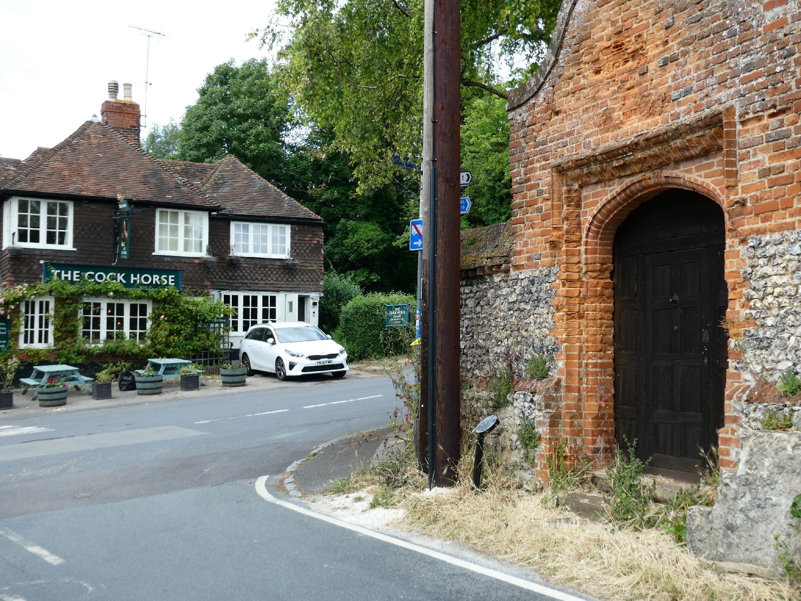
Day Seven - Wednesday 5th July - Dunton Green to Cuxton
The serious rain suggested for yesterday appeared overnight, leaving dampness and puddles shining in this morning's sunshine.
I kept to roads for the start of the day, expecting paths to be mucky.
In
the old village of Otford I bought something for lunch later and went
to explore what remains of the Palace. The most impressive remnant of
the 16th century rebuild, a project for Archbishop William Warham, is
the gatehouse, but today it was totally enveloped in scaffolding and
blue plastic. Nothing to see here. Luckily another small remnant had
escaped the builders.
The church of St Bartholomew dates from the 12th century and has an unusual rendered tower.
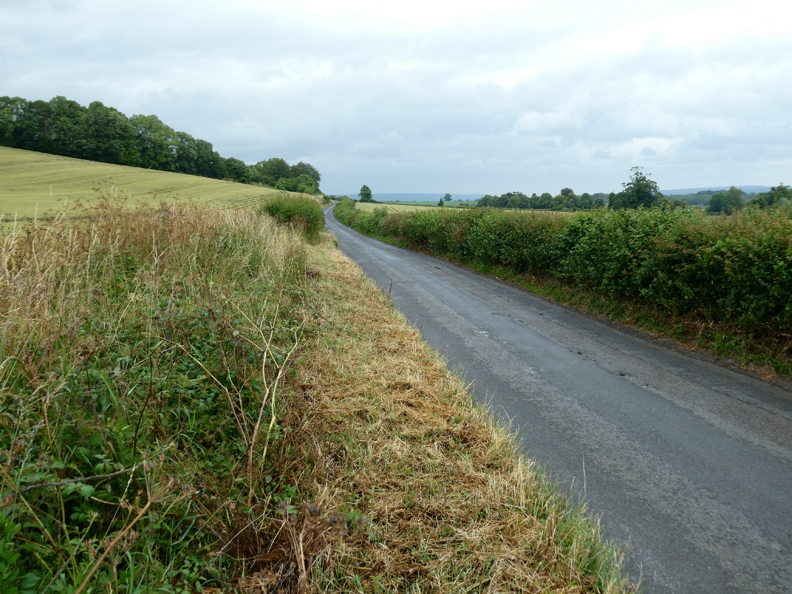
The old pilgrim route eastward to and beyond
Kemsing is now a 1½ mile stretch of detached houses, the road far too
posh to have a pavement, which made it tricky walking in the last phase
of school run traffic madness. As it shrinks to a rural lane it suddenly
becomes clear how it has gently climbed, because there are some fine
views.
The lane, and the track which succeeds it, follow
the principle of most of the ancient trackway, running along the foot of
the downland escarpment but high above the plain, safely above what
would then have been forest.
Just before Wrotham I saw what I thought
was a dog, but it was a very handsome red/gold fox, nothing like the
scruffy beasts that raid the bins in London.
Wrotham is one of
those renowned Kentish place names - pronounce it "Rootem". The village
has a pleasant open green, where I rested a while, and a church on a
10th century site, maybe the oldest church in England with a dedication
to St George.
Behind the village is the rumble of the M20
motorway, crossed by a road bridge before the pilgrim route continues
eastward, once again as a narrow lane, then a track.
Here, annoyingly, it rained - a passing heavy
shower mitigated by the tree cover above the track, but by the time I
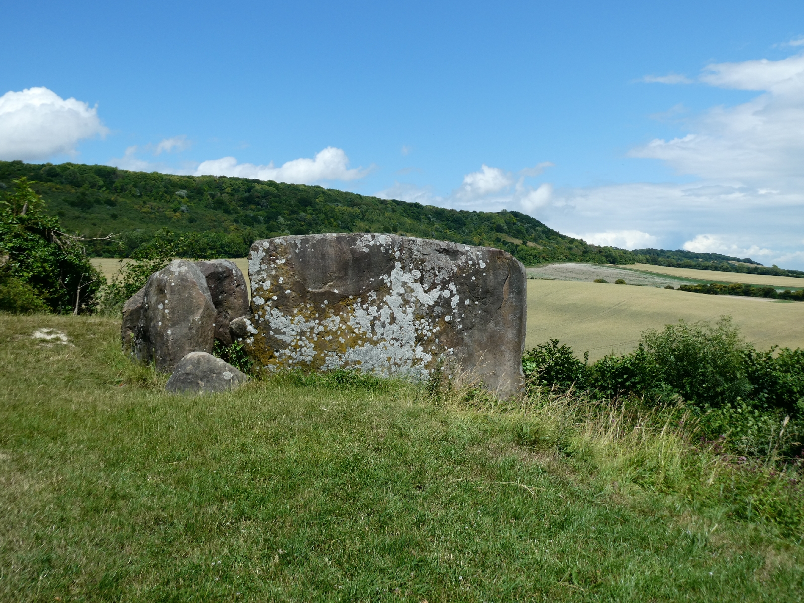
reached the turning for the Coldrum Stones the sun had returned.
The long barrow site known as the Coldrum Stones
lies about 500 yards south of the old trackway, close to the village of
Trottiscliffe ("Trossley"). The sarsen stone construction is partly
fallen and the covering earth mound long gone.
The site dates from the third millennium BCE, the
Early Neolithic period, when agriculture was being introduced. As the
remains of 22 bodies testified it was a burial site, but latest thinking
is that such sites also served as centres of worship and culture.
Coldrum is one of several ancient sites either side of the Medway, and
indeed it looks straight across the valley to the location of several
more - some on tomorrow's agenda The design apparently reflects similar
sites across the north and west of Europe, from Sweden to Spain.
I returned to the Pilgrims' Way, now keeping an eye on the showers.
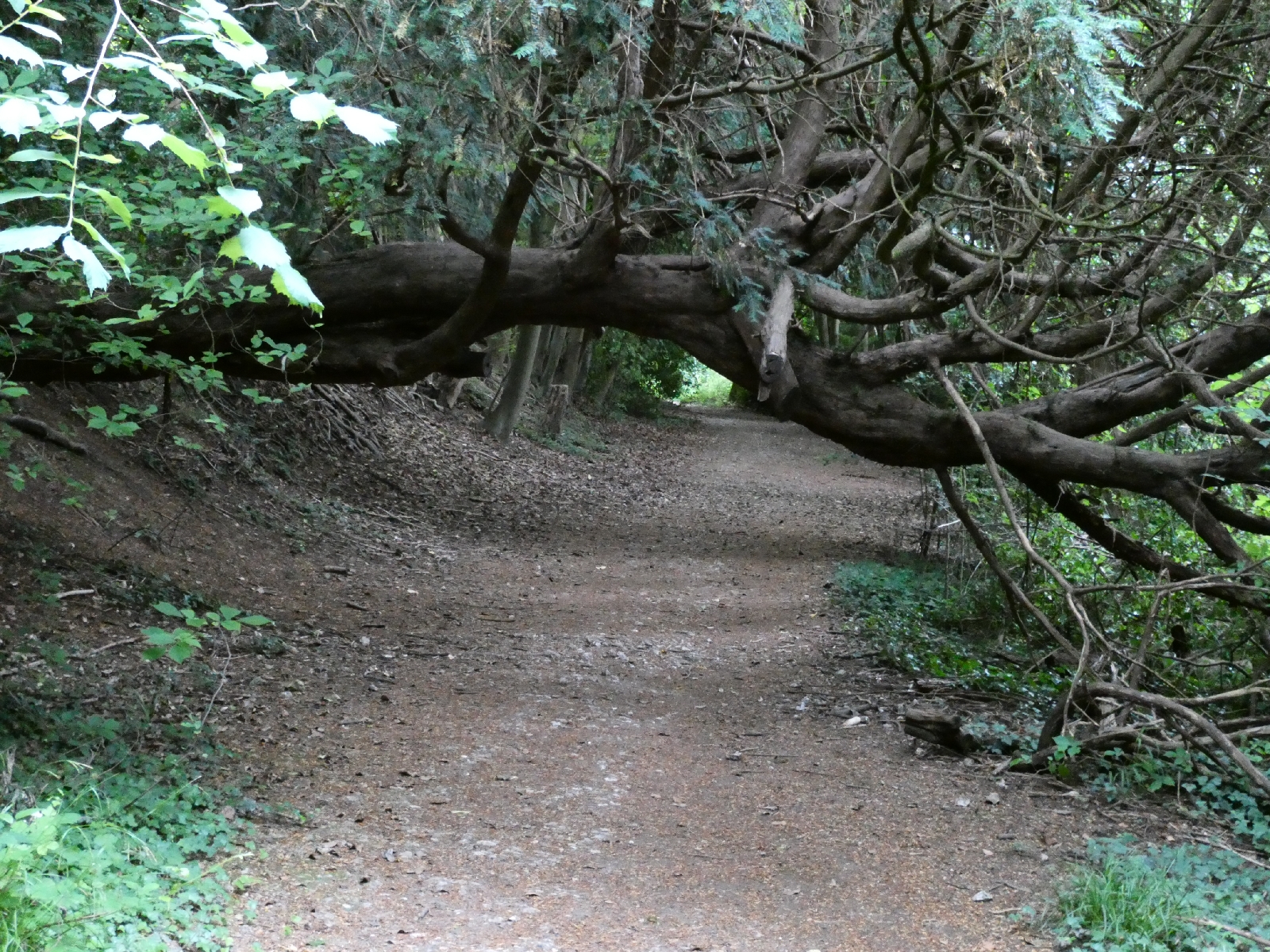
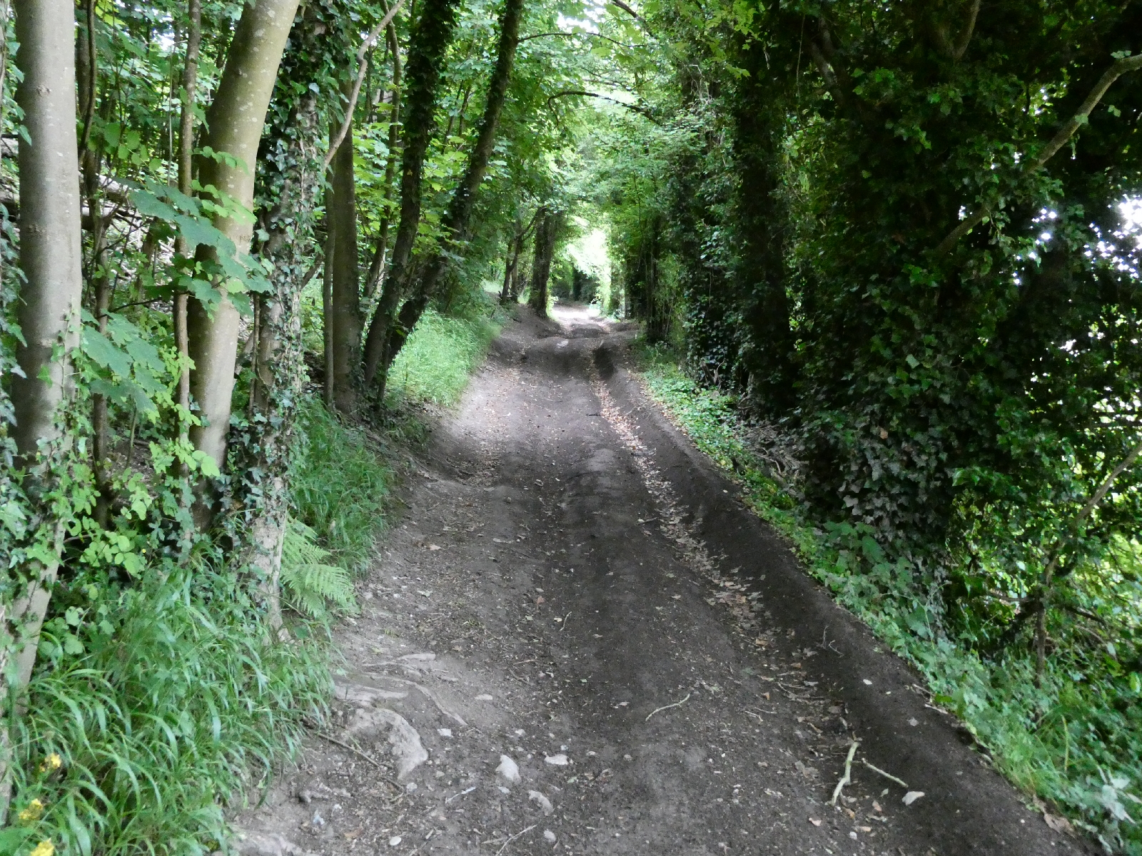
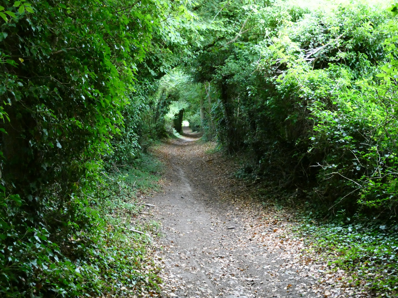
The track continues as a sort of tunnel through the trees, passing the foot of steep Holly Hill.
In this area the ancient trackway left the downs to
descend to a river crossing, later a ferry to Old Burham, now long
gone. Purist modern pilgrims can divert here to Aylesford to cross the
Medway, or use a new bridge near Wouldham. Instead I had chosen to
follow many mediaeval predecessors and divert to Rochester.
The
"new" Pilgrims' Way continues to hug the downland slope as it curves
northward into the river valley, giving good vistas across to the next
part of my journey on the other side.
The track becomes a road again approaching Upper Halling ("hawling"), which has its own little surprises.
Heading towards Halling and Cuxton everything grows
more urban, crowded, noisy and busy. This is an area once famous for
its many chalk quarries, providing lime for building. It went through a
stage of massive exploitation, especially at the end of the 19th
century, and the scars of excavation still stand out. One of them, at
Holborough, next to the road here, was active until 1984. Half of it is
now filled with water to make an aquatic centre, the other half is a
housing estate.
The last couple of miles today are best left
aside - a very busy road, another motorway crossing, and a dreary
leisure zone led me to my resting place for the night. At least there
was an impressive view of the Medway Bridge, which carries the M2 and
the high speed railway over the river.
Day Eight - Thursday 6th July - Cuxton to Hollingbourne
In many ways a day of memories, as today I passed through areas I
had known well as a teenager, although some things have changed in the
last half century!
The first call was Temple Manor, in Strood, a 13th
century lodging house built for knights en route to the crusades. Sadly
it's buried in a dingy industrial estate and can only be glimpsed
through tightly meshed metal fencing although apparently it is open on
weekend afternoons.
I crossed Rochester bridge, with its fine prospect
of the castle. The Norman square stone keep dates from 1087 and is one
of the finest of its kind in Europe.
Rochester High Street is now pedestrianised, and
has a rather sad mixture of cheap and charity shops alongside more
interesting independents.
The view of the cathedral's north side is nevertheless impressive.
A narrow passage, the "Pilgrim's passage" leads off
the High Street to allow access through a door into the North Transept.
This was used by pilgrims visiting the shrine of St William of Perth,
murdered in 1201 just outside Rochester while on a pilgrimage to
Canterbury.
I walked round to Boley Hill, with its old
gatehouse and fine view of the cathedral main door, then headed south
along St Margaret's Street to leave the city.
Soon the ancient charm gives way to unremarkable
urban spread, on the way to Borstal. The one-time village, famous as the
location of the first of a series of young offenders' institutions
which bore its name, has little to recommend it.
Just beyond
Borstal comes a jumble of modern infrastructure - two separate bridges
overhead carry the two carriageways of the M2 motorway, while a third
carries the high speed railway from London heading for France. The local
roads have been bent around to fit, and one former farmhouse in the
middle of it all is reputedly the most blighted property in Britain.
Luckily
a five minute stroll back on the Pilgrims' Way here leaves it all
behind and soon reveals a lovely view across the Medway back to
yesterday's journey.
I left the pilgrim road behind near Wouldham and
climbed steeply to the top of the downland ridge, where a broad track,
then a road, lead through to Burham Downs and Bluebell Hill.
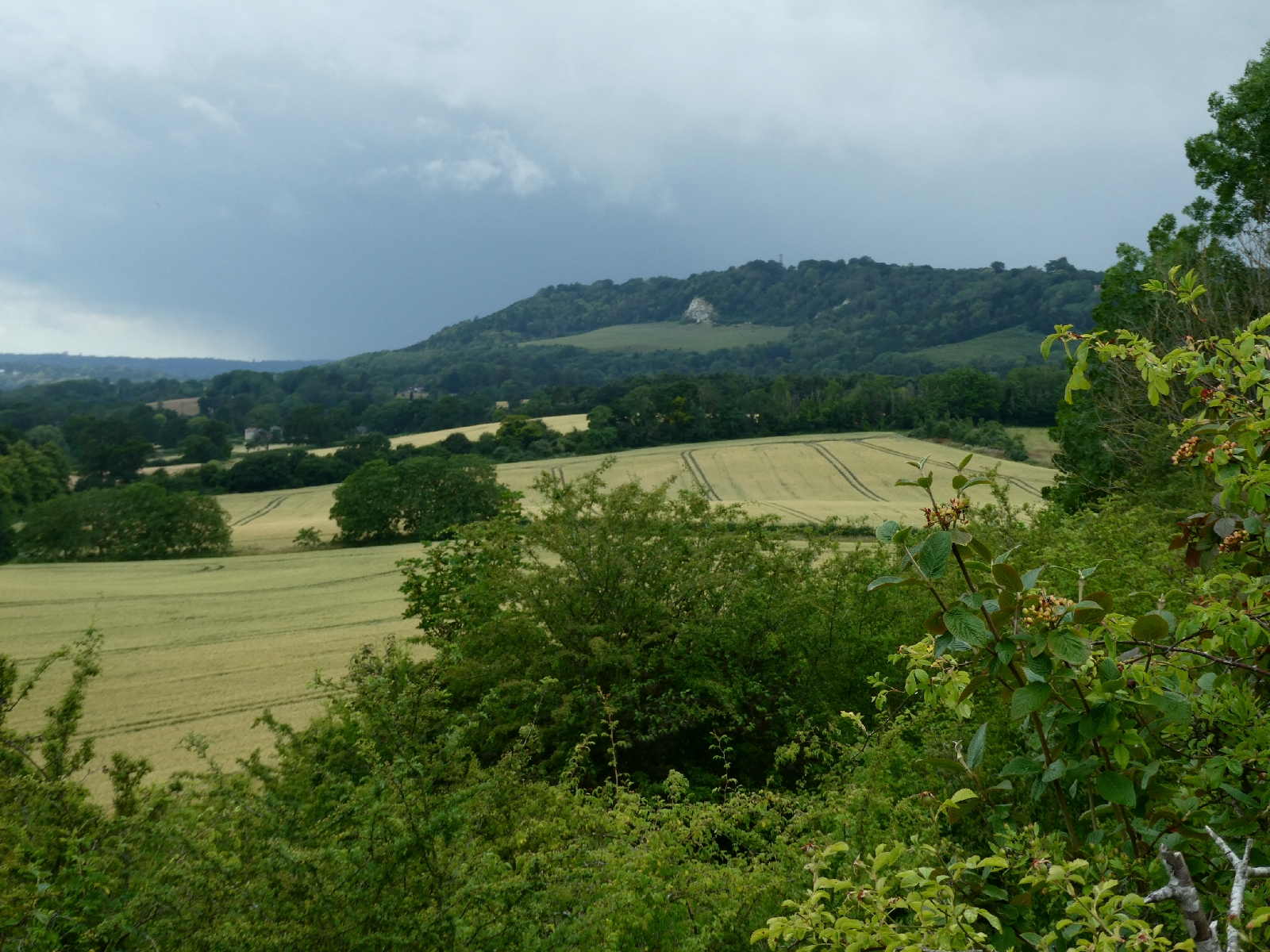
The downs here offer a sudden and expansive view
across the Medway valley and south to the Weald, and a point to rejoin
the North Downs Way.
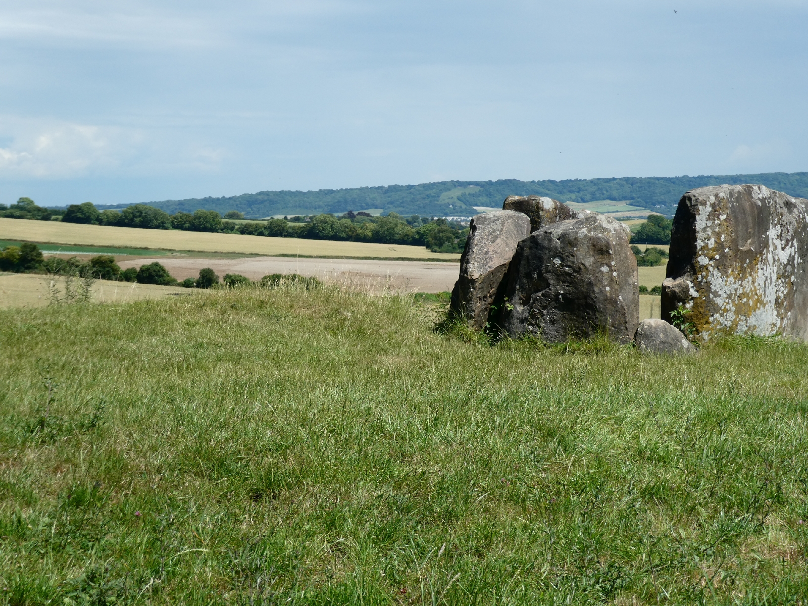
The national trail descends here to reach Kit's
Coty House, another Early Neolithic burial mound site, although here
three upright sarsens and a headstone survive. The site looks straight
across the valley to the Coldrum Stones (yesterday), which may be
significant. Apparently the name is a corruption of the Celtic for
"house near a wood".
Just below, a short distance along the horribly
busy road to Aylesford, is Little Kit's Coty, yet another such site,
although here the stones are a fallen jumble.
The information board here corrected yesterday's
history lesson - these Medway megaliths date from between 3900 and 4800
BCE, which makes them around 6000 years old.
I returned to the
Pilgrims' Way, which soon negotiates the dual carriageway M2/M20 link
by a subway, then crosses the high speed railway with a look down at the
entrance to the Kent Downs Tunnel.
A few yards later, as the track regains its composure, along comes yet another megalith, the White Horse Stone.
Apparently there were once two, yet again a burial site, but one was destroyed.
Farewell then to the Neolithics, as the track continued to Boxley.
I was passed here by several cyclists, and was left wondering why it seemed only those over 30 knew how to say hello...oh well.
The
stretch from Boxley to Detling is a narrow lane with some fine views,
including yet more vineyards. The rumble of the M20 is distant but
constant, while the occasional quiet whoosh of a passing train hardly
troubles the ears. It's amazing how empty and rural it feels here
despite all that is nearby.
At Detling there is an old inn and some equally old houses.
The village was divided in 2000 when the main road -
Maidstone to Sittingbourne - was upgraded to dual carriageway, but
nobody thought to provide a crossing for the Pilgrims' Way or the
national trail. After a little girl and her grandmother were killed that
year trying to cross there was a concerted campaign to do better. The
resultant footbridge, known as Jade's Crossing in the girl's memory,
opened in 2002.
Just beyond Detling I rejoined the national
trail to climb Detling Hill. At 650ft it is dwarfed by the bigger hills
I'd already crossed, but it is the highest point of the downs east of
the Medway, the summit marked by a trig point and some view indicators.
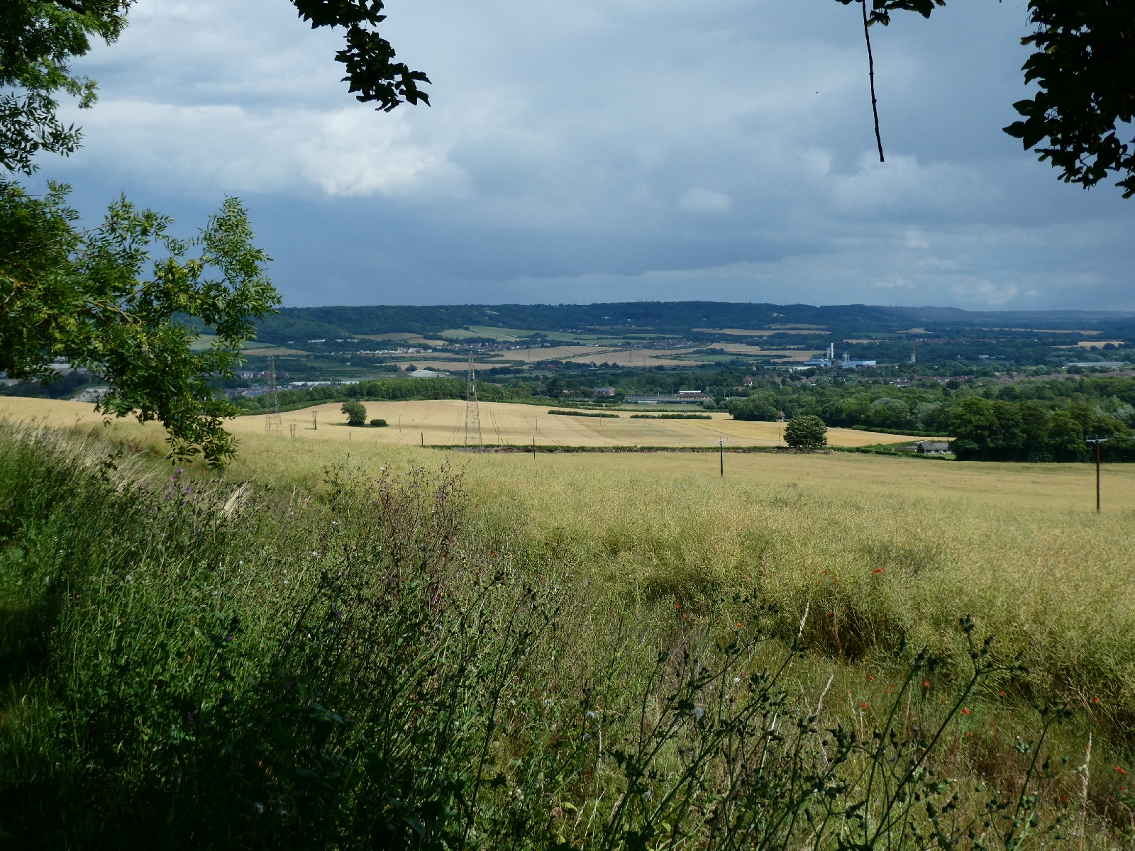
Today the view was at its best, the South Downs visible in the distance.
The
path drops down to Thurnham Castle, now just a tree-covered mound,
built in the 12th century as a watchtower on the old trackway. Even the
Normans respected the ancient route. I know that 50 years ago you could
sit on the top and look around, but now the trees have firmly taken
over. Nothing to see...
Thurnham has a pub, right on the old
road, which today is becoming unusual in such hidden places, but the
church is some distance to the south.
From here the Pilgrims' Way is a narrow metalled
road for the couple of miles to Hollingbourne, and the escarpment of the
downs becomes gentler.
Hollingbourne, where I turned south to head for my
hotel, was busy with traffic and not well provided with pavements, but
nevertheless had some good older buildings.
The church was rebuilt in the 14th century but retains its solid Norman look.
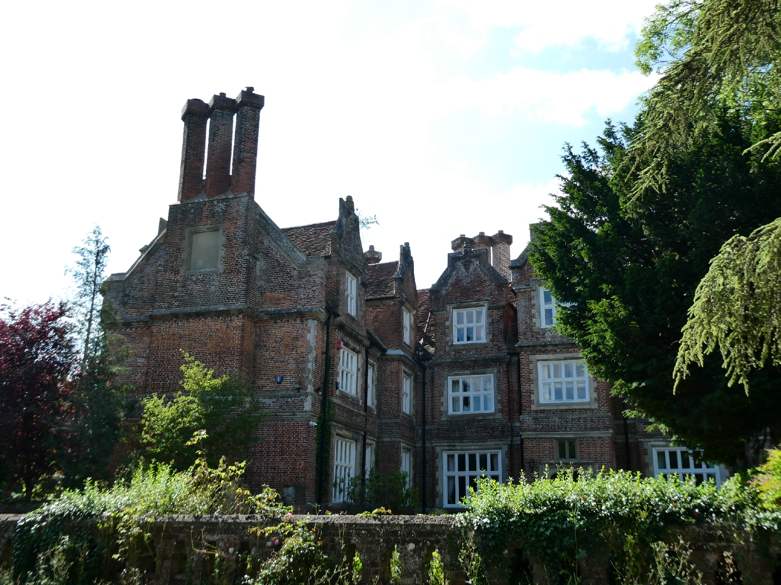
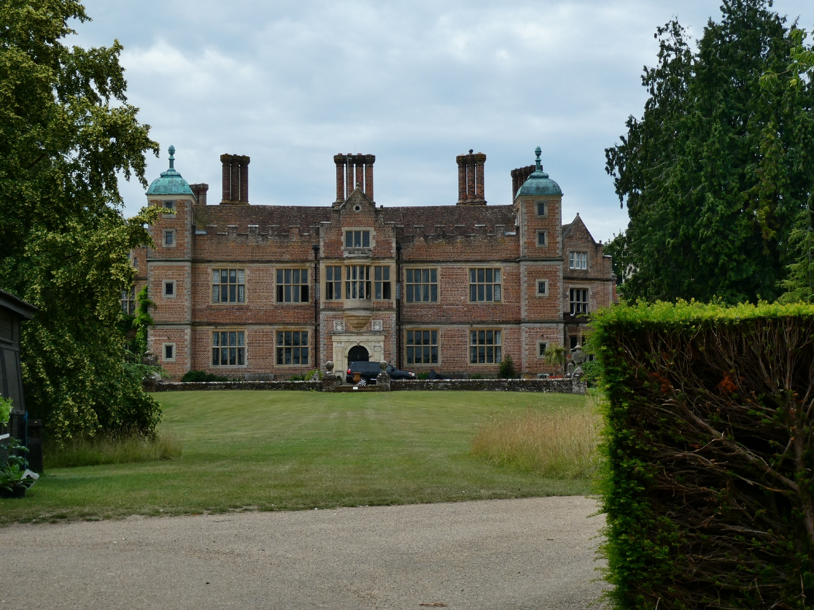
The 16th century Hollingbourne Manor springs out
suddenly from behind the hedges. It seems it should have been the
classic Elizabethan "E" shape, but ended up as an "L" because the money
ran out.
Such problems are clearly not new...
One year ago today I set out from London to Bristol and Barnstaple. How time flies.
Day Nine - Friday 7th July - Hollingbourne to Kennington
For once the weather agreed with the forecasts. It has been
a very warm day, topping out at around 29 degrees this afternoon,
reminiscent of last year's hot journey.
I rejoined the Pilgrims' Way just east of Hollingbourne. Here, and for
much of the route today, it is a track only occasionally dipping into
roads, and here, again as for much of the day, the downs to the north
are gentle slopes and the ancient route runs quite high, mostly just
under 500ft.
There are glimpses from the track across to the south, still with the
distant rumble of the M20, although to be honest it is no intrusion, and
the route is very quiet. As in previous days I saw hardly another soul.
I did encounter Brother Percival though, a wooden sculpture slouching on
a bench just north of Harrietsham. Apparently this pilgrim has been
taking his ease here next to the path since
2007.
I also came across my first old Pilgrims' Way sign complete with a
scallop shell. I know there used to be some closer to the Medway, but
they all seem to have been replaced with bland modern signs. The scallop
shell is an ancient symbol of pilgrimage.
Next came the chalk cross carved out near Lenham, the village war
memorial. It can be seen from the main roads below, and the site offers a
splendid view.
On then past the curiously perfect cube farmhouse of Cobham Farm, and
passing a mess where the water company is installing a new mains supply,
to more tracks leading to Charing.
I diverted here to buy some lunch and to explore. The little village is a
delightful mix of styles, and the church, with its huge 16th century
tower, is impressive.
Next door are the remains of an archbishop's palace, now converted into dwellings.
Charing was a regular haunt of anyone travelling to or from
Canterbury, just one day away, and at one time a place of pilgrimage in
its own right, with a relic of St John the Baptist, which later
mysteriously went missing.
I rejoined the track east of the village. For the next couple of miles
it offered shade under the trees, but then became a very hot field
path.
The modern footpath runs a few yards away from the ancient route, but much of that has here been built over.
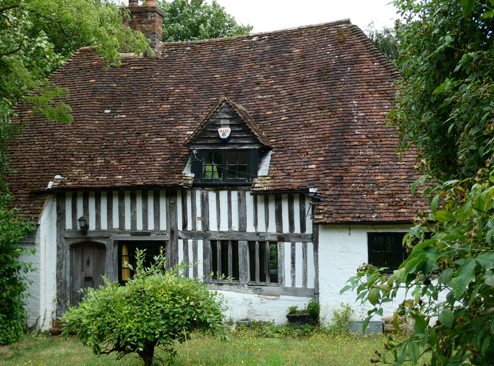
Just off the track is the church of St Mary, at Eastwell. It's another mediaeval building, but now sadly a ruin.
The construction of a 19th-century lake alongside
apparently introduced moisture into the old church's columns, which
eventually crumbled. By the
1950s much had gone, and the nave roof finally collapsed in
1957. It is an evocative place.
The lake next door is also very attractive, despite its unintended ruination of the church.
The path beyond here passes Eastwell Manor, now a classy spa hotel
carefully concealed behind the trees. At a particularly overgrown point
there's a curious signpost announcing the trail as a "European Path" -
which is true, it is part of path E2 from Ireland to the Mediterranean
coast - but I had not seen any other such signs.
I reached the main road at Boughton Lees, and trotted about 1½ miles to
my hotel for the night, the only relief being a view across to Wye
Downs, on the other side of the Stour valley, complete with the crown
cut into the chalk by students from Wye Agricultural College in 1902 to
celebrate the coronation of Edward VII.
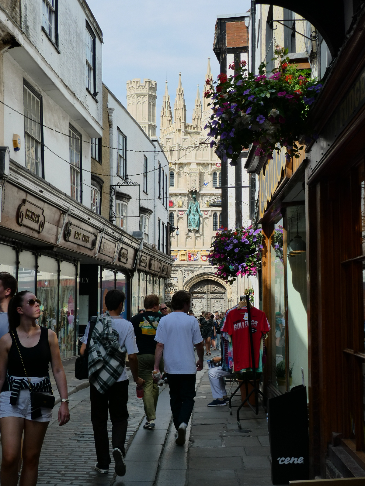
Day Ten - Saturday 8th July - Kennington to Canterbury
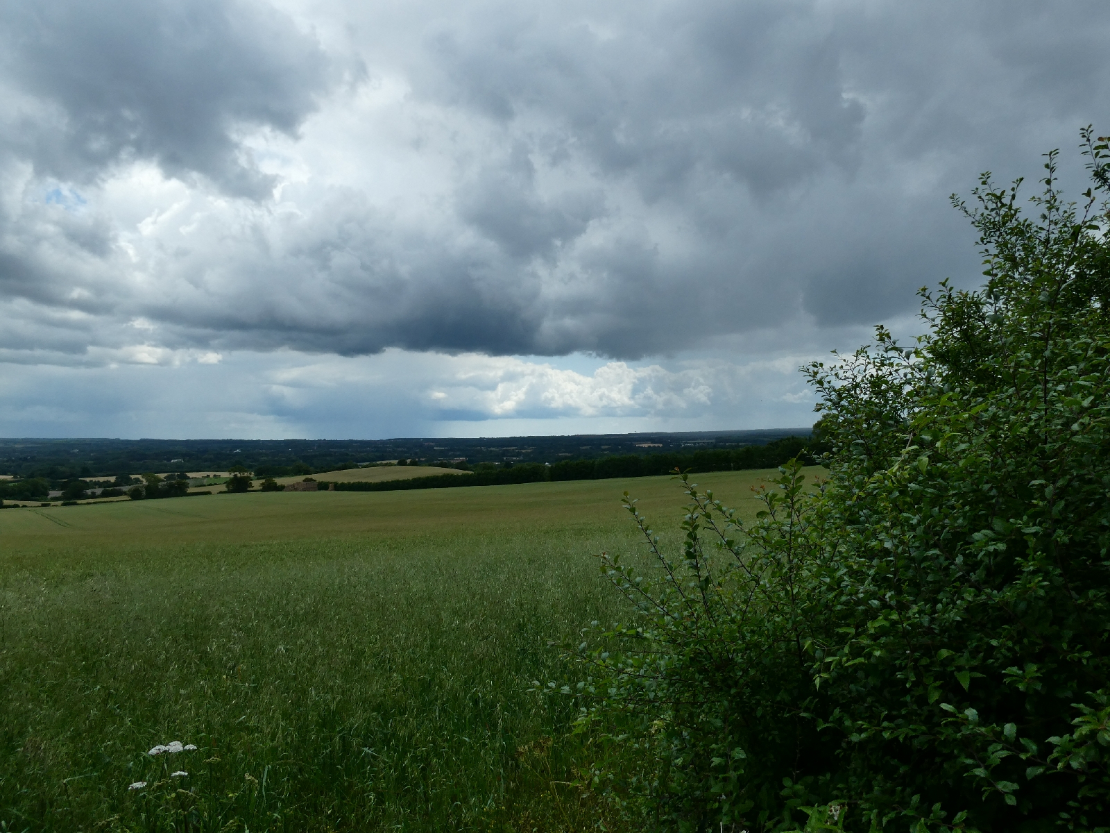
The
ninth and last day of walking threatened to be disrupted by
thunderstorms, but although the air was heavy and humid the rain never
came.
I
started by reversing the last bit of yesterday's journey, but in this
direction I spotted the ornate old entrance to Eastwell Park, now closed
and a little neglected.
What
is left of this part of the park is also lacking care, overgrown and
crumbling, and long brambles overhang the wall alongside the road, a
risk to passing walkers.
I rejoined the route - both the Pilgrims' Way and the North Downs Way - at the hamlet of Boughton Lees.
Just
a short way beyond here the national trail divides, one route to Dover
via Folkestone going right, the route via Canterbury going left, my
route, on a good straight path.
Soon
comes the 13th century church of All Saints at Boughton Aluph, a tiny
hamlet very much off the beaten track, with views across the Stour
valley.
The church was enlarged in the 14th century and restored in the 19th. It's a solid- looking building.
A field path leads to the old house at Soakham Farm, me hoping by now that it would not live up to its name.
Next
was a steep climb to the downland ridge, where the path dives into
woodland. This is King's Wood, at 1500 acres (588 hectares) it is one of
the largest areas of woodland in Kent. The path wanders on, but there
are only trees to see for more than two miles.
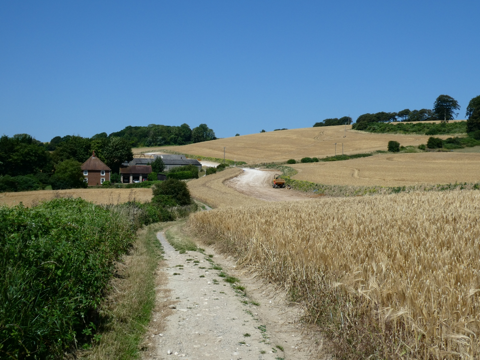
There
is an old milestone for the North Downs Way, probably dating from its
creation in 1969. If it's not clear from the photo it counts Farnham at
103 miles in one direction (I can vouch for that) and Canterbury at 10
miles in the other.
Finally the path descends from the ridge to join a little road known as Mountain Street.
The road wriggles gently towards Chilham, with some good-looking old houses along the way.
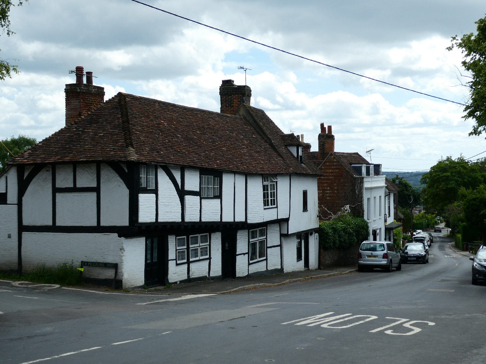
Chilham
is a tiny delight, with its main square, now inevitably full of parked
cars, ringed with old buildings, many half-timbered.
On
one side is the entrance to Chilham Castle, a castle in two parts - a
Norman keep (1174) and a Jacobean mansion (1616). The keep is still used
as a house, possibly the oldest continuously inhabited building in
England. The mansion was owned by UKIP activist Stuart Wheeler, but
since his death in 2020 it has been back on the market. The 2022 asking
price was £15m.
Across the square I paused in the White Horse for a welcome and excellent pint, then set off on the next stage.
I
have to say that the part of the route from Chilham to the edge of
Canterbury is very disappointing after all that I had seen so far.
It
passes through Old Wives Lees, a village of little obvious charm, then
crosses a vast area of apple orchards. The planting is regimented, the
trees all very uniform, and there is a large caravan site ready for
hundreds of pickers in the season. It has the air of an industrial site,
and the national trail through it is poorly marked.
The
next village, Chartham Hatch, does little to lift the spirits, then the
path goes back into woods. Not the grand woods of the downland tops,
just a bit scruffy.
There is however the passage through No Man's Orchard, a nature reserve dedicated to older varieties of fruit trees.
I
diverted to Harbledown, the pilgrims' last stop before Canterbury,
calling by the Black Prince's Well, aka Becket's Spring, which is an old
healing spring, dressed up in decorated Victorian stonework.
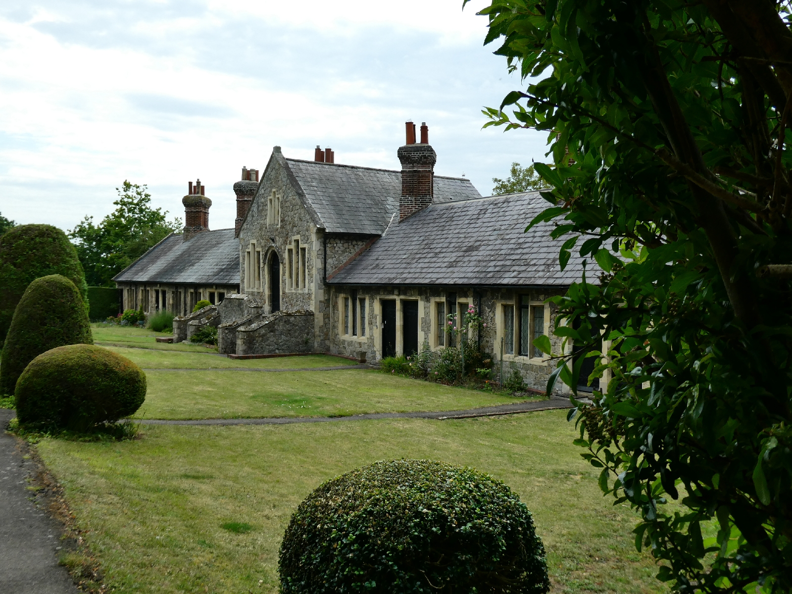
Just
behind it is St Nicholas's Hospital, a foundation dating to 1084,
originally for lepers. It has been updated many times since, most
recently in the 19th century, and long since converted to almshouses.
And
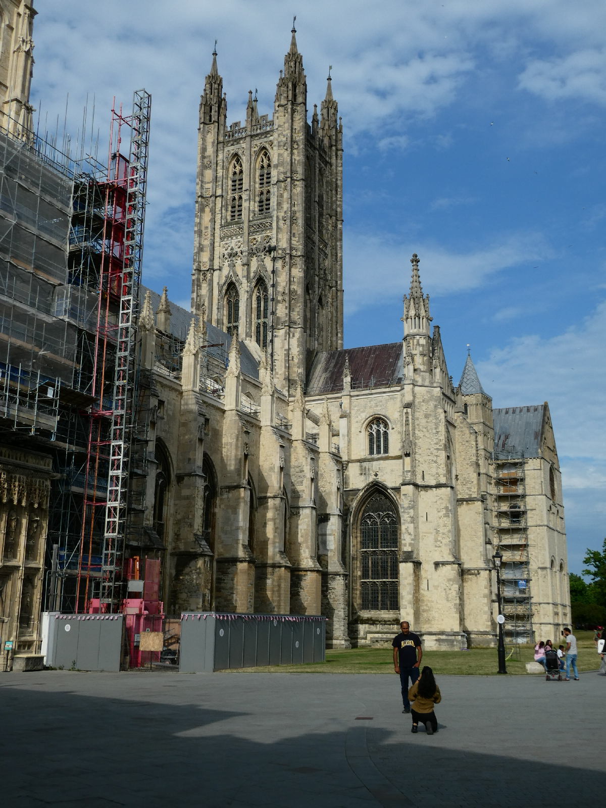
so to Canterbury, and the end of the walk. I was at first disappointed
to find the cathedral gates firmly shut - as were the many tourists
there...
I
rested a while, strolled the streets, and returned to find the gates
open, with access to the precinct, and its views of the enormous mother
church.
As
the cathedral closes quite early and requires pre-booking for entry I
knew I would end my journey outside, not at the reputed spot of Becket's
murder, but this was, after all, a walk, not a religious adventure.
Then, after a pizza and a beer in the sunshine, I took the train back to London and home.
Afterthoughts
Back in London, and a few days after ending the walk, there
is time to reflect on it all. While it lacked the distance and the ups and downs
of the Walk to Wales or the Go West Walk, this journey nevertheless posed its
challenges. The final distance, including diversions and the occasional wrong
turn, was 167 miles, with over 16,500 feet of ups and downs, which might be surprising
among the low hills of southern England. The average daily distance then was around
18.5 miles, compared with 21 miles on previous journeys, which generally meant
I reached destinations a little earlier with more time to relax.
This was the first time I travelled to a starting point
rather than setting out from my front door, a pattern very likely to be
repeated in future journeys (yes, there are already some ideas). It was also
the first time that every stopping point was an hotel, with no pub accommodation
in the right places. Planning accommodation was, in fact, surprisingly
difficult given the very civilised areas through which I passed, and what I did
find was substantially more expensive than anywhere I stayed in 2022, let alone
earlier. Even the budget hotels can no longer claim to be good value. Having
said that, the food in most of the hotels was very good, with one or two seriously
superb meals.
Highlights have to include the area around St Martha’s Hill,
in Surrey, the collection of megaliths on either side of the Medway, and the
peaceful isolation of the sections either side of Charing. Peaceful is the word
for much of the route. Although I was nowhere more than an hour from London,
and often in earshot of motorways and major roads, on most days I saw very few
people, and met hardly anyone else walking any distance.
On the technical side very little of my gear was changed
from last year (see the Go West Walk pages for details) except for two things.
For years I had walked in Merrell’s Moab 2 GTX shoes, but they have now been
replaced by a Moab 3. Merrell claimed to have solved the one problem I had with
the older version – the footbed was quite hard, especially under the toes. They
have succeeded: the new iteration is much better, more like walking on carpet. After
thinking I would never be seen dead using them I have added walking poles to my
kit, a response to some muscle strains in the thighs after last year. I am very
pleased with my Black Diamond Trail poles, in snazzy orange and black. I used
them on steep gradients and rougher terrain, and put them away where the ground
was smoother. They have certainly proved their worth. Merrell and Black Diamond
don’t pay me for praising them, by the way.
Here are the final statistics by day:


No comments:
Post a Comment