Day 8 - Wednesday 9th July - Arundel to Bramber

Hard to believe it's only a week since I took the train to Sherborne.

The start of my day was much more efficient than the previous days, and at just after 9am I set off into a very warm morning.

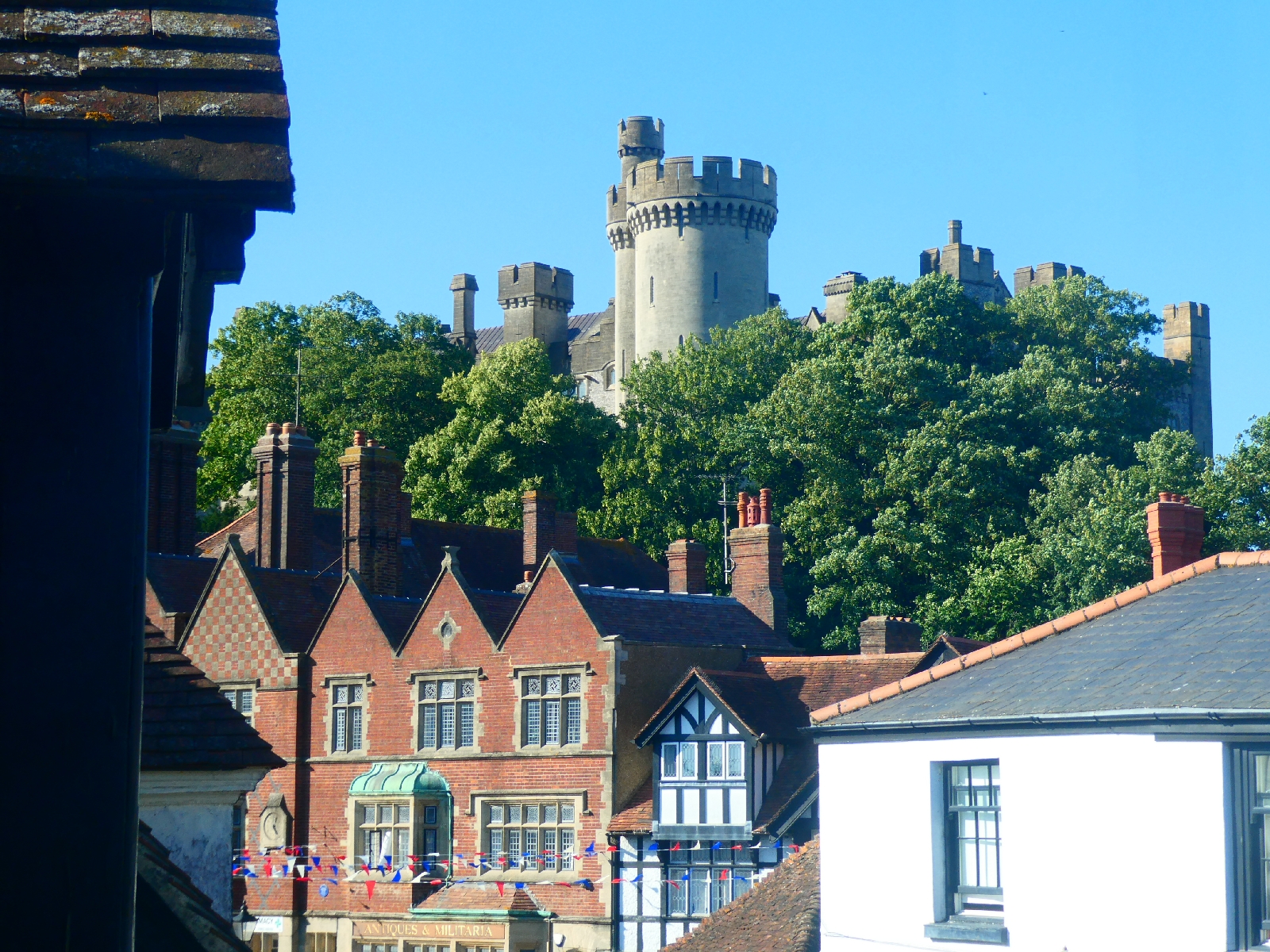
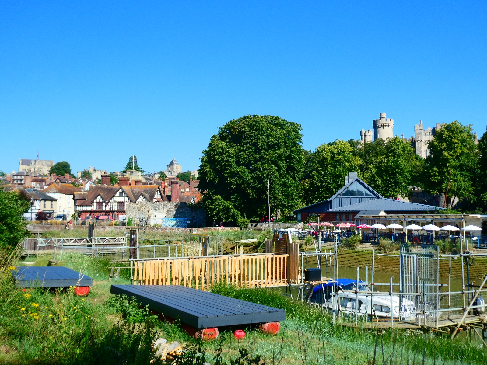
To regain the South Downs Way my plan set a six mile gradual climb from Arundel, on lanes and paths. The first short stretch followed the riverbank, with fine views back to the town and castle, reaching a road at Warningcamp.



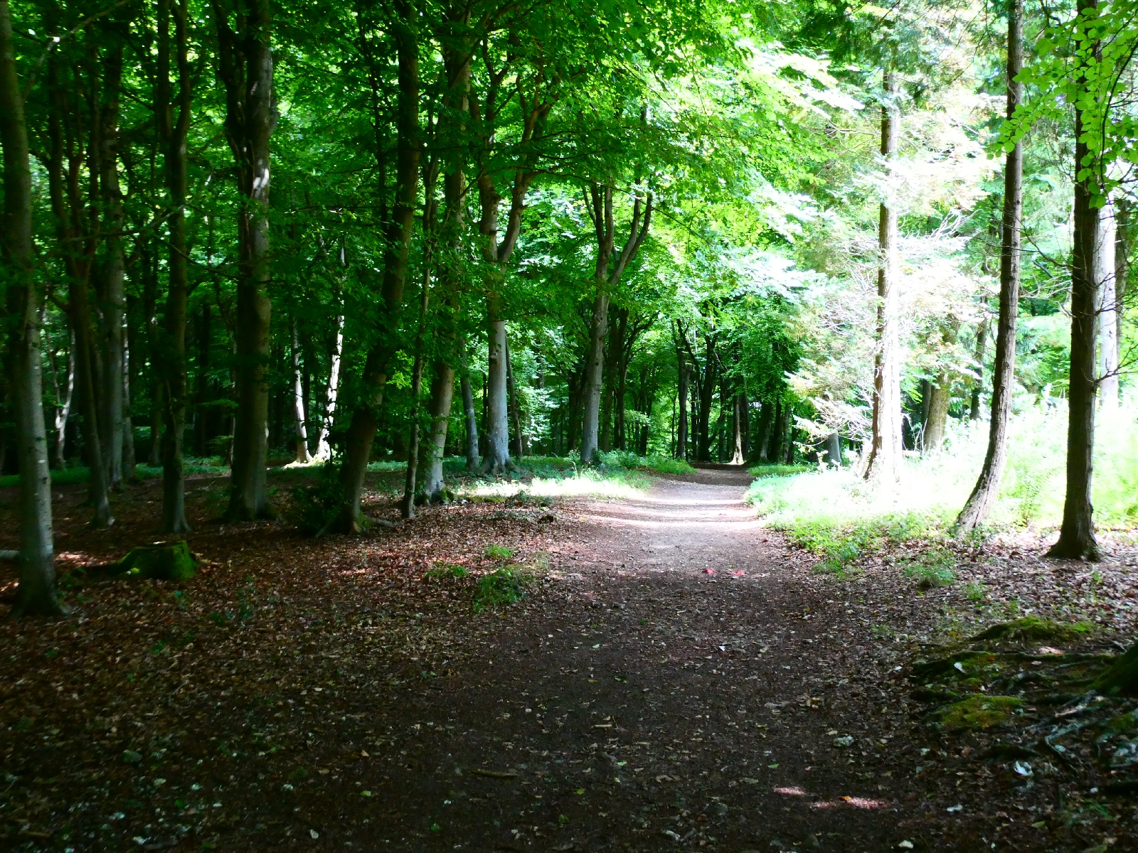
 This little road wriggled under shady trees before going up a hill to Wepham, with some attractive cottages.


The gradual rise continued to the entrance to Burpham village, where I took to a tiny lane. This was surfaced for a few hundred yards before becoming a slightly overgrown track.


That soon gave way to a pleasant grassy trail across open downland, sadly without either shade or a breeze.
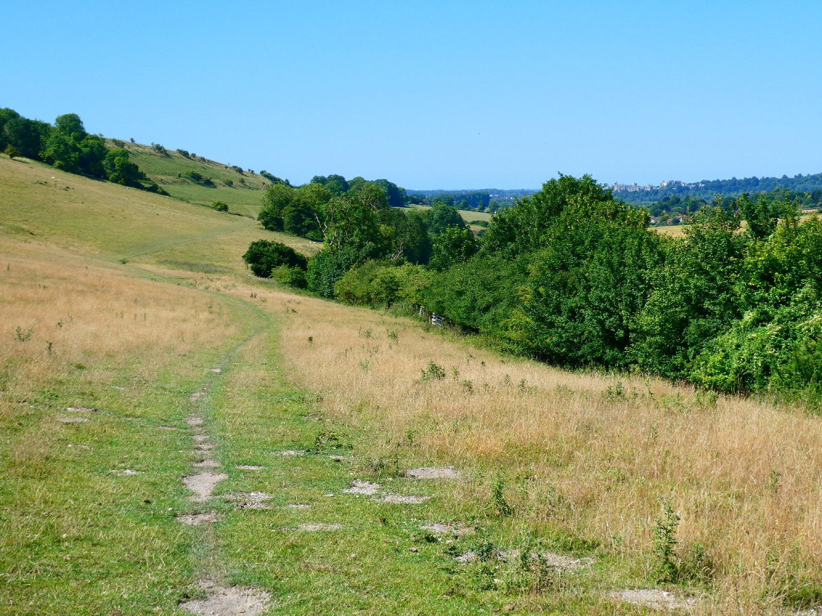
 
Unlike some parts of England, here in Sussex, or at least inside the South Downs National Park, where there is a path on the map there's usually a path on the ground, which helped with some navigation.
My route continued on another grassy track passing fields - one of them full of purple flowers - until finally it joined the Way at the top of the ridge.
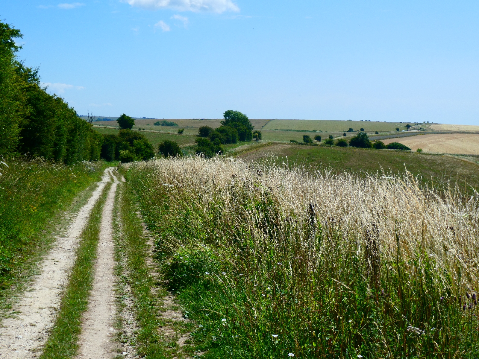

In the three miles and more since leaving the road behind I'd seen only one other person - a runner heading downhill.
Up on the ridge there was a welcome breeze from the south, the side of the sea. The path rose gently to pass below the top of Kithurst Hill, and dropped to a small car park at Chantry Post.
On the way it passed a dew pond, once a common feature of chalk downlands. These circular ponds were dug out and lined with clay to collect water for livestock, now superseded by more efficient methods.


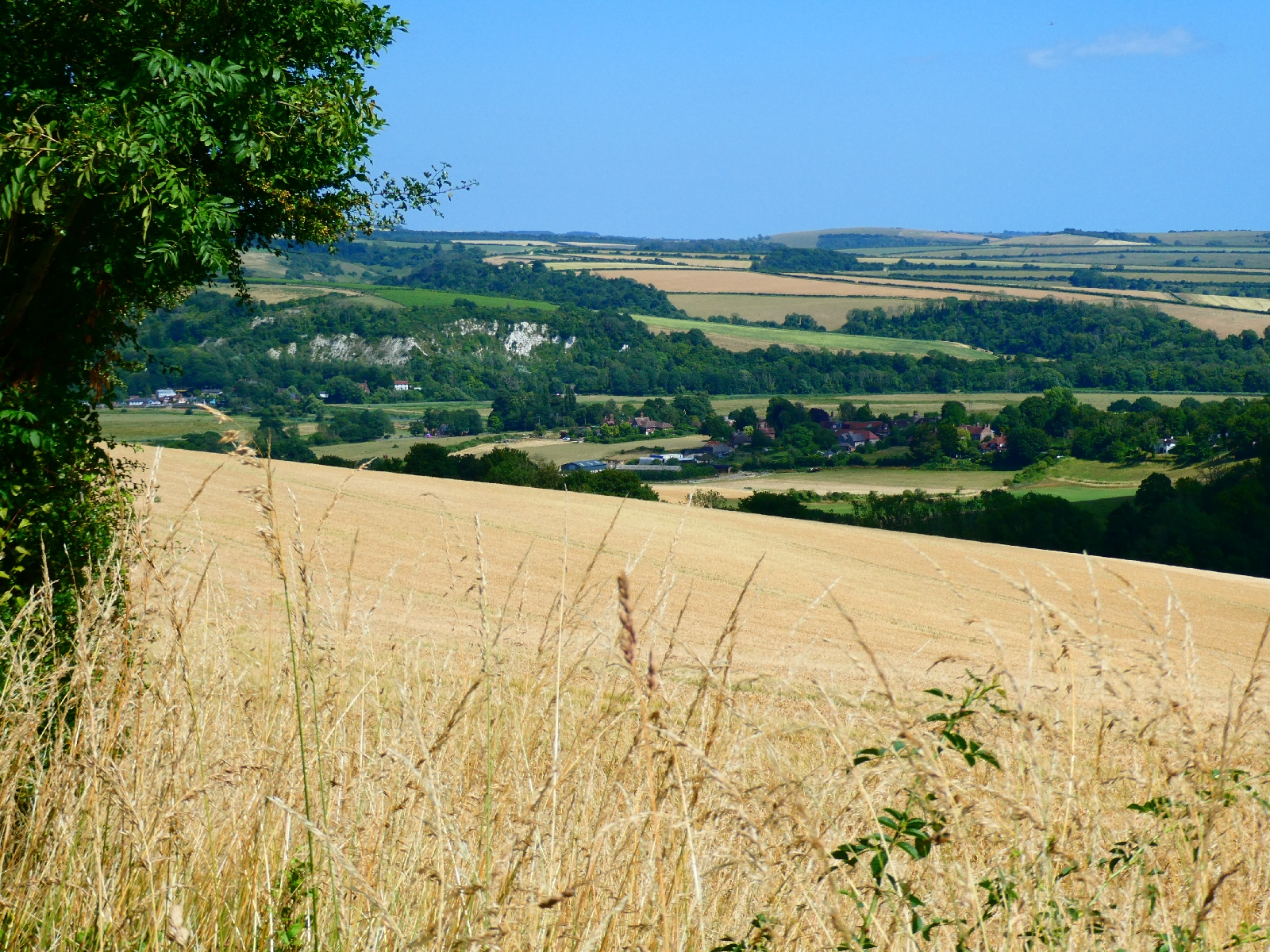
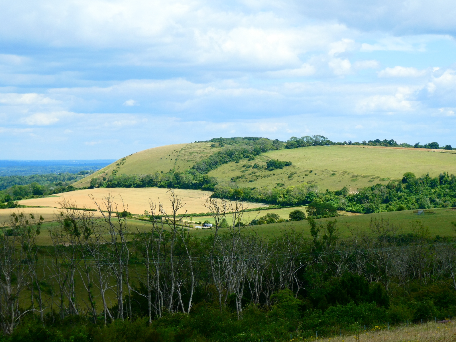
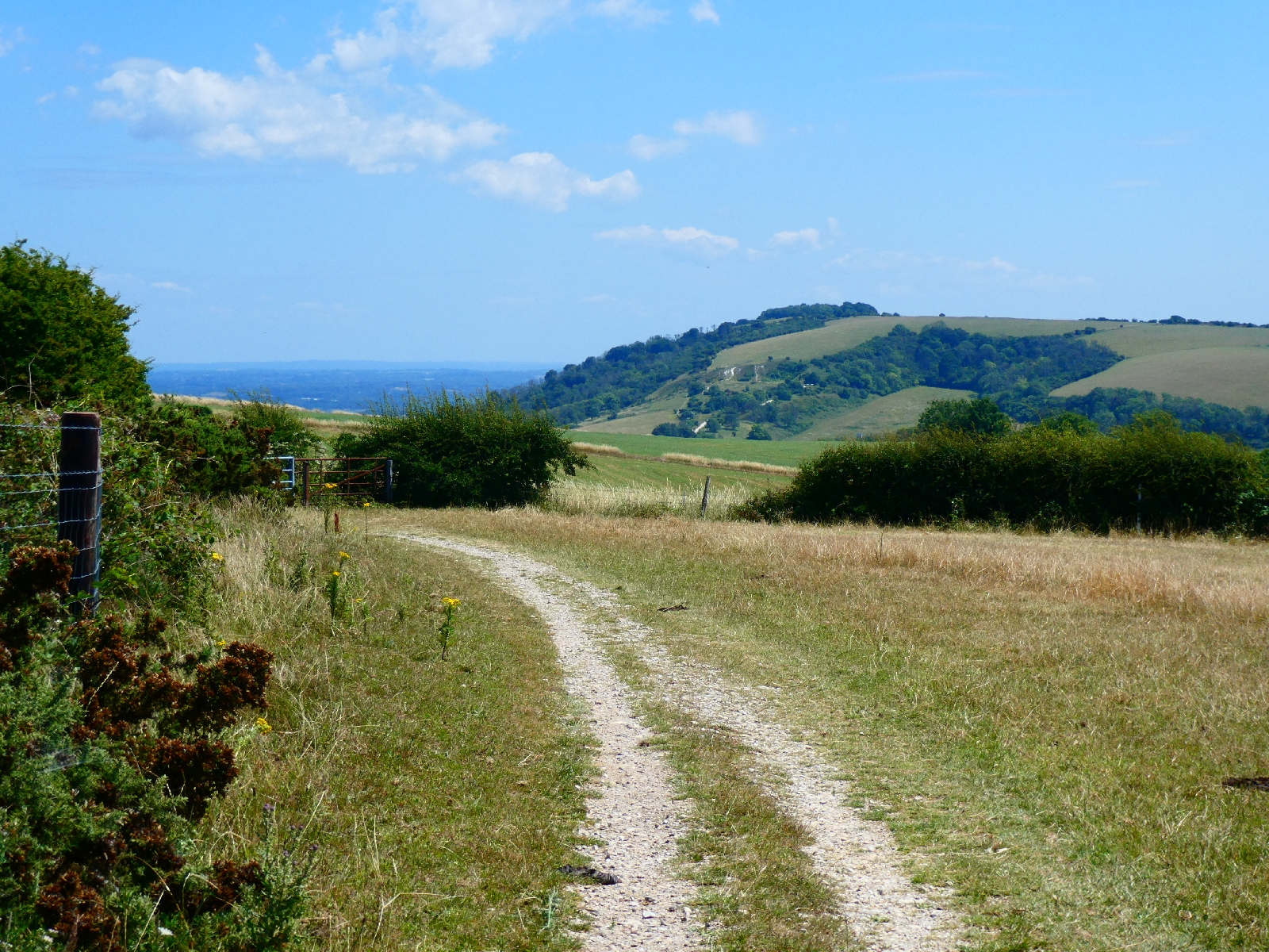
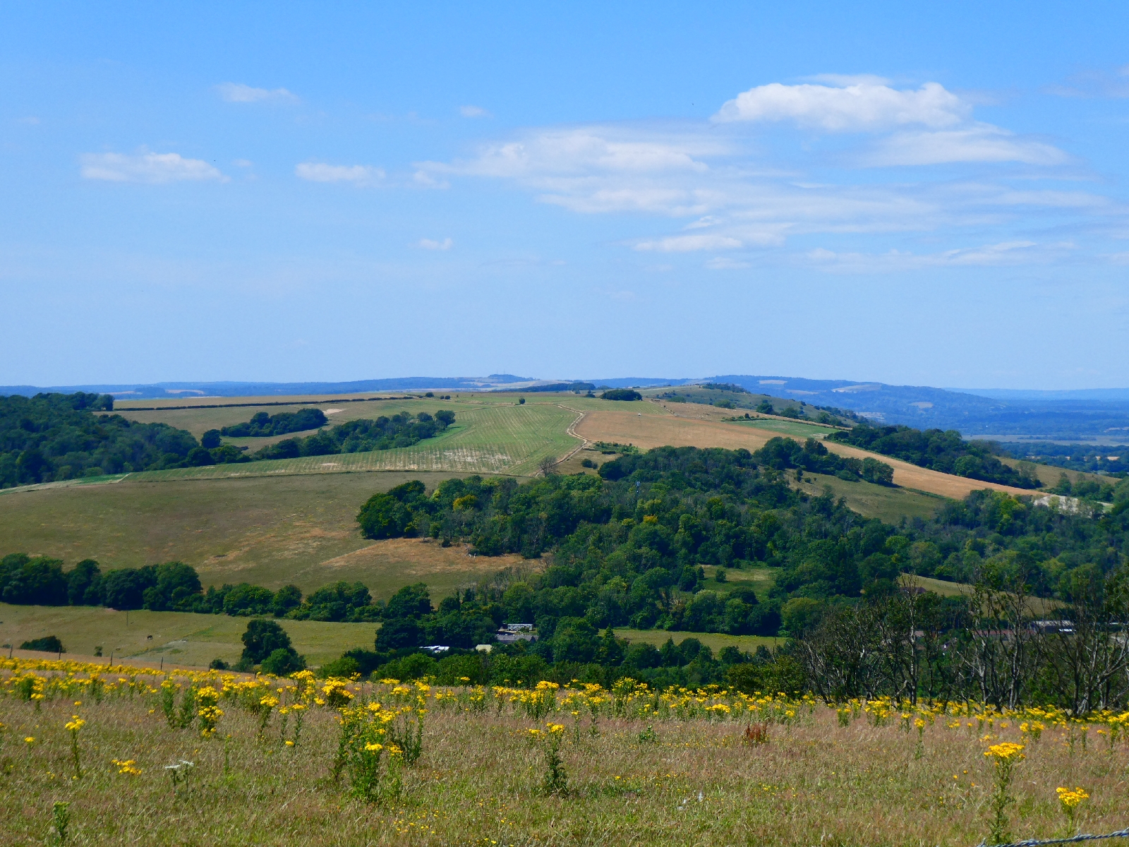
Up, down, then up again over Sullington Hill and Barnsfarm Hill, all the while with views to delight the eyes.


Ahead lay the day's biggest challenge, the clear view of it all just adding to the anticipation. The path begins a descent, getting steeper all the time, into a dell which carries the A24 dual carriageway rushing towards Worthing and the sea. Throughout that descent it's clear how the route will be climbing back up again on the other side.

The saving grace here is a drinking water tap, quite a rarity on this route, just before the main road.
I chatted to two much younger walkers whose ambition was to complete the whole South Downs Way in four days, going up to 30 miles a day. Good luck with that, especially with some hotter days forecast.
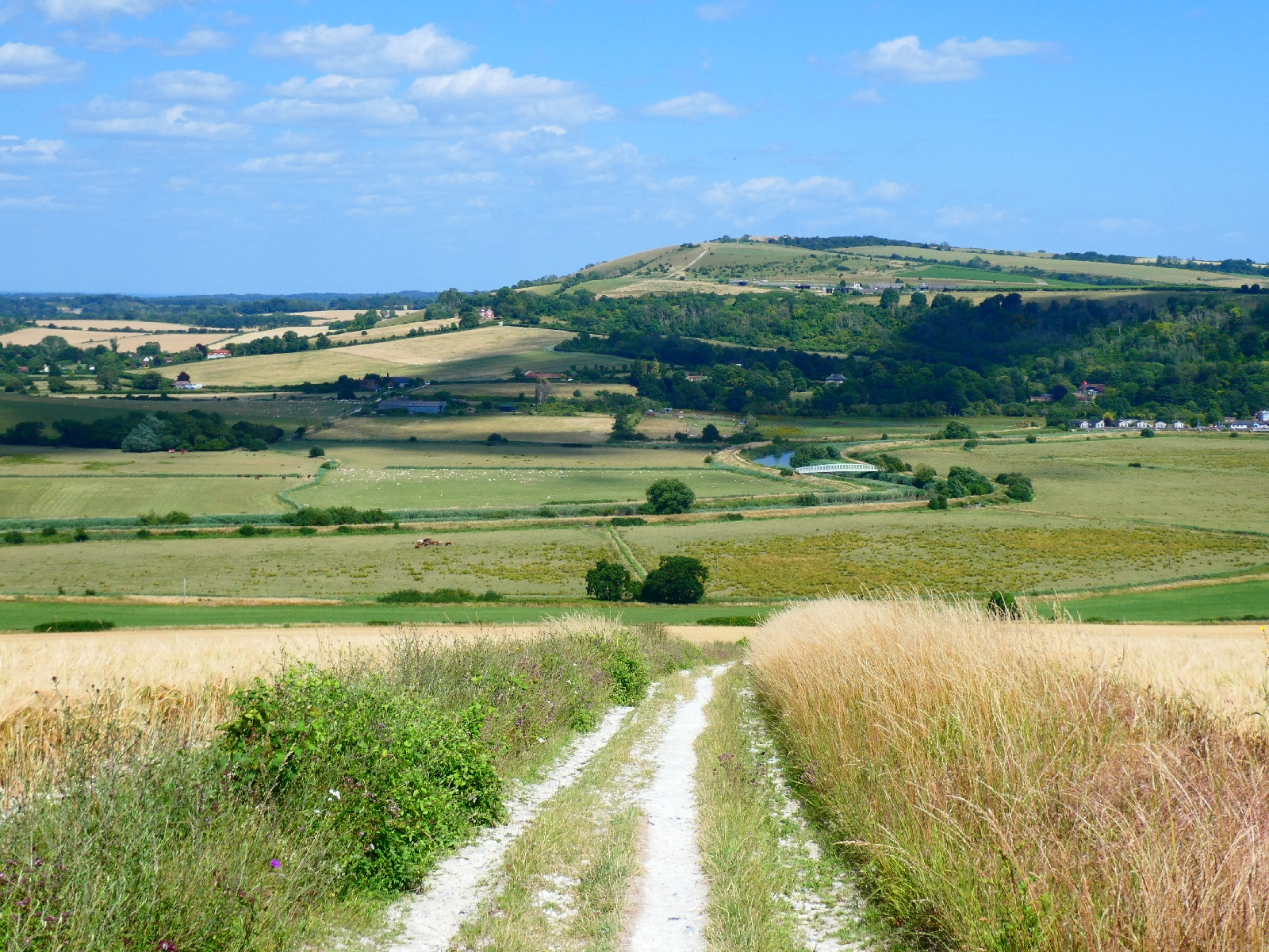
Perhaps remarkably the dual carriageway is crossed with eyes and care - no bridge or tunnel here - and after that the uphill grind begins straightaway. A very white broad chalky track winds relentlessly uphill, mercifully with some tree cover later, to rejoin the ridge at a very healthy altitude, leaving little left to climb to reach Chanctonbury Ring, about a quarter of a mile further.


The clump of trees planted on a circular hill fort is a well known South Downs landmark, and at 785 feet it's a great viewpoint.


The hill fort dates back to the Bronze Age, but the first circle of beech trees was planted by local landowner Charles Goring around 1760. In 1909 the Goring family completed the planting, over the rest of the site.
Sadly some of the trees were destroyed in the storms of 1987.
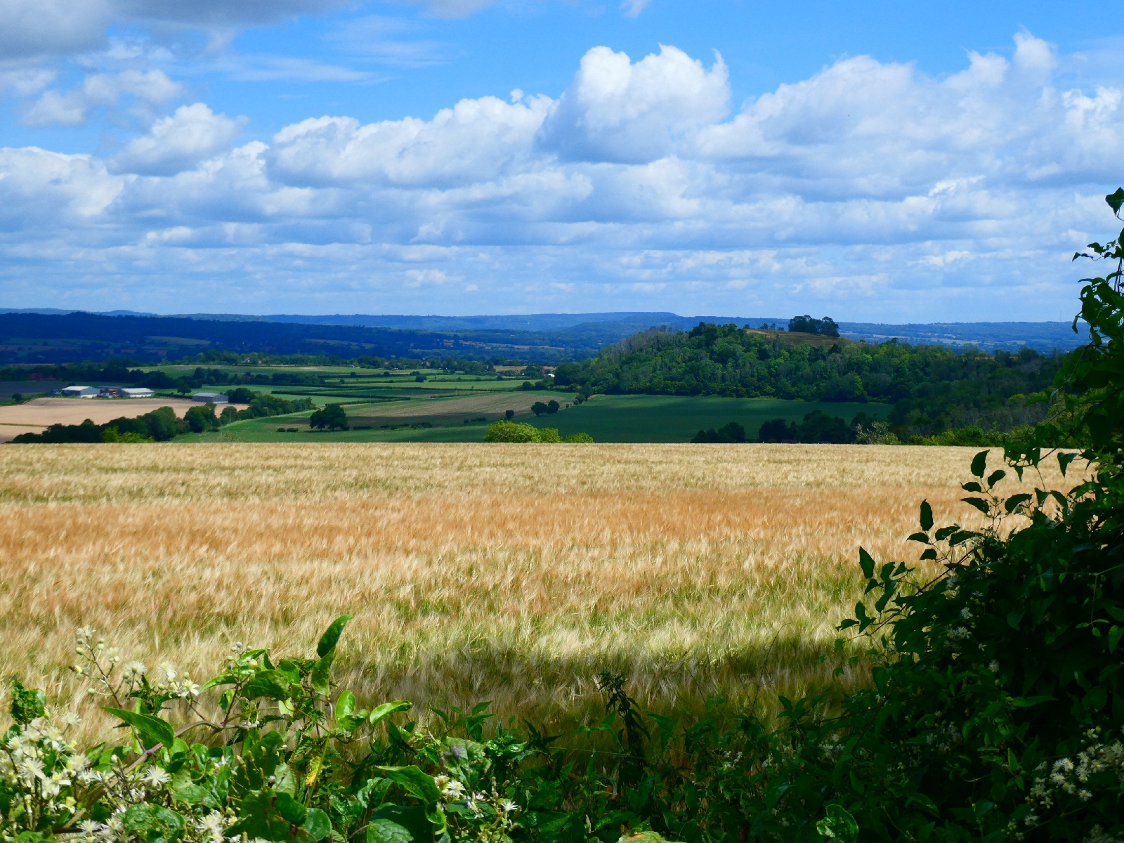
Beyond the Ring the path continues gently undulating, always with the sea clearly visible to the south.

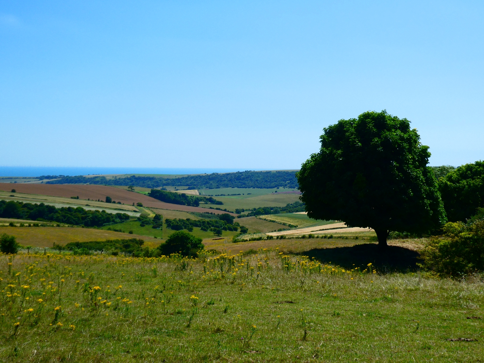


At Steyning Round Hill I turned off on to a narrow path (still classed as a route for horses and cycles, which could be fun) which joined a steep winding road down to the edge of the straggling settlement of Steyning.
From there to my resting place in Bramber was just another ten minutes.
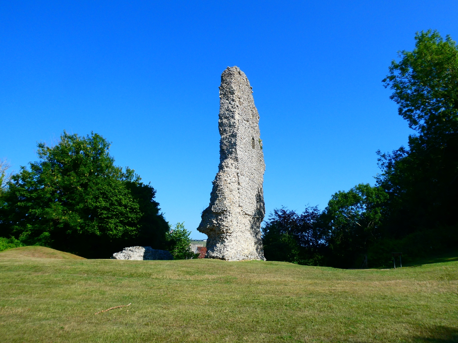
A short day, just under 15 miles, but that gave the opportunity to wander up to Bramber's pretty little church, and beyond it the scattered ruins of an early Norman castle.

Day 7 - Tuesday 8th July - Midhurst to Arundel

Lightning can strike twice - yet again this morning I waited half an hour for my breakfast to arrive, and this time I wasn't the only one to complain. In an hotel with delusions of grandeur and prices to match, that's not good.
I finally set off at 10am into a bright sunny day, with almost six miles of road walking to do before returning to the South Downs. Much of it was, well, just road, but there were good glimpses of the heathlands of Ambersham Common, and eventually, closer to Graffham, a prospect of the wooded downs ahead.

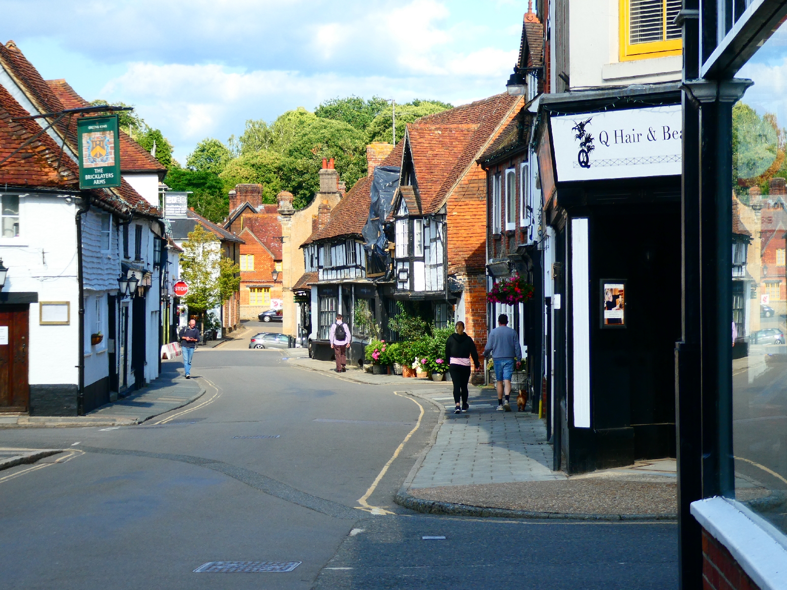
Graffham is a long strung out village, but with some pretty houses.

Just beyond Graffham I took to a track, then a bridleway, and puffed gradually up the 450ft steep climb to rejoin the South Downs Way at the top of the scarp.

The route slogs on roughly level for a while before taking a long, steep and uncomfortably stony descent to Littleton, with the view of the next climb ahead all the time.

At Littleton the route crosses the A285 main road heading towards Chichester, then immediately begins the long grind up to Sutton Down, recovering all the altitude lost in the previous descent. This was tough even for the mountain bikers who struggled past me wishing they had some extra gears.


I paused for lunch a little further on, with a broad view ahead from this 750ft perch, down to the sea.

After a slight descent the track goes up the huge mound of Bignor Hill, looking down on a village made famous by Roman remains, and marked by a jokey sign pointing to Londinium.

From the summit there's yet another steep stony descent, but with great views, down to the oddly named Egg Bottom Coppice, after which, inevitably, the route climbs back up again, before crossing another main road, the A29 heading towards Bognor Regis.

From here there is another big descent as the South Downs Way drops into the valley of the River Arun, with splendid views ahead to Amberley and Rackham Hill.

After crossing some flat fields the path joins the riverbank, then crosses the river on a smart footbridge.

Shortly after this I parted company with the official route and headed south to a café near Amberley Station for a cold drink before continuing.
The final three or four miles today went south, firstly along a little lane to North Stoke, where the lane ends.
From here I took a footpath, hoping it would work as described on the map.
It did, just about. It led to a footbridge known as the Ghurka Suspension Bridge. Apparently there had been a suspension bridge over a little offshoot of the Adur since the mid 19th century, but it was destroyed by a fallen tree in 2009. Unhappy with plans to replace it with a basic bridge the locals pulled some strings and persuaded a Ghurka sapper unit to reconstruct a suspension bridge.

Beyond it the path continues to South Stoke, deteriorating near the end, and crosses the Arun again on a modern bridge.
No route on this journey ends without another steep hill, and this was no exception, but it did at least offer a fine retrospect to South Stoke's little church.

A mile or so more brought me to Arundel, a pretty old town famous for its huge castle and other joys, and so to a bed for the night.

Day 6 - Monday 7th July - East Meon to Midhurst

I have to admit that waiting almost half an hour for my breakfast to arrive never puts me in a good mood, even if it is delicious!
I also left East Meon this morning in grey drizzle, which didn't help.
By the time my little lane had reached the downland escarpment and was testing my legs with a steep climb the dampness was gone.

A short climb took me to the slopes of Butser Hill, at 889ft the highest point of the South Downs, but the top is crowned by a telecoms mast and is not worth an extra half mile slog.

The curious cone is actually the roof of a coffee shop...
There are great views to the south, with glimpses of the Solent and the Isle of Wight, after which the path plunges down a steep grassy slope towards the noise of the dual carriageway A3, hurrying its way down to Portsmouth.

The road is crossed in a tunnel, after which the path skirts the facilities at the Queen Elizabeth Country Park and heads sharply uphill through woods to regain much of the height it lost from Butser Hill.

From a car park at the unfortunately named Faggs Farm the path goes uphill and downhill for a couple of miles, with only rare views. 


Finally it makes a sharper climb to Harting Downs, a superb viewpoint looking down to Harting village and on to the Surrey hills, plus a perfectly timed bench for a lunch break.

Harting Downs was also busy with a group of model aircraft enthusiasts, the gentle breeze making a perfect day for their hobby.
The path goes down steeply again to the foot of Beacon Hill, with a fine view of Treyford Hill.

I decided against the very steep climb directly to the top of Beacon Hill and followed the official path route around the base, adding a bit of time and distance.
The path wasn't going to let me off so easily though...

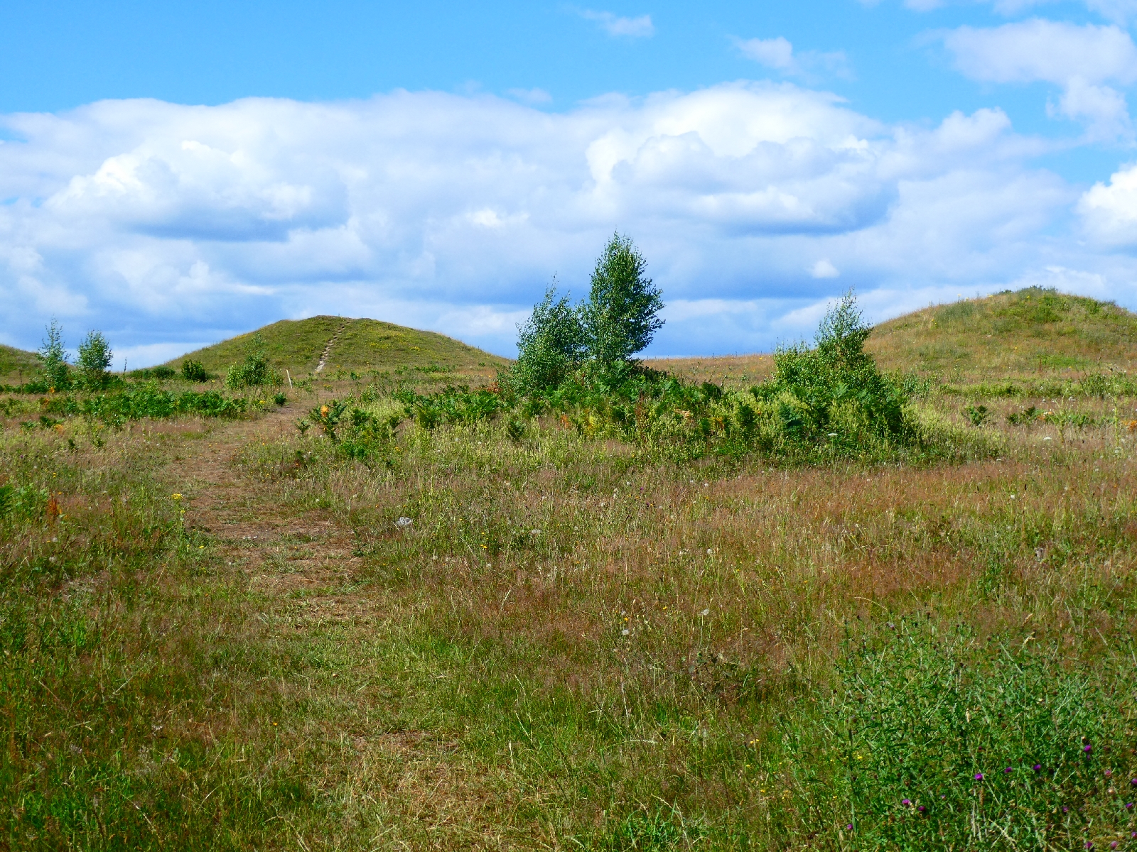
A wander through fields and another climb into woodlands took me eventually to the Devil's Jumps, the best preserved examples of Bronze Age burial mounds on the South Downs. They date back 3,000 years. At least something is older than I am!

It's the little things which can make a journey like this - the slow worm which wriggled across my path, or the tiny stone memorial almost hidden in the bushes to a German fighter pilot who crashed in the woods nearby. You just don't see the details from a car.
The path wandered on to the delightfully named Didling Hill, with more fine views.


Just beyond here I had planned to use a bridleway to drop from the ridge and start the last part of the journey, but it was lost in brambles and undergrowth, forcing an extra mile to use the next trackway to descend. These things happen.
The final three miles along roads to Midhurst were covered at a pace - I needed a pint!