Lightning can strike twice - yet again this morning I waited half an hour for my breakfast to arrive, and this time I wasn't the only one to complain. In an hotel with delusions of grandeur and prices to match, that's not good.
I finally set off at 10am into a bright sunny day, with almost six miles of road walking to do before returning to the South Downs. Much of it was, well, just road, but there were good glimpses of the heathlands of Ambersham Common, and eventually, closer to Graffham, a prospect of the wooded downs ahead.


Graffham is a long strung out village, but with some pretty houses.


Just beyond Graffham I took to a track, then a bridleway, and puffed gradually up the 450ft steep climb to rejoin the South Downs Way at the top of the scarp.


The route slogs on roughly level for a while before taking a long, steep and uncomfortably stony descent to Littleton, with the view of the next climb ahead all the time.


At Littleton the route crosses the A285 main road heading towards Chichester, then immediately begins the long grind up to Sutton Down, recovering all the altitude lost in the previous descent. This was tough even for the mountain bikers who struggled past me wishing they had some extra gears.

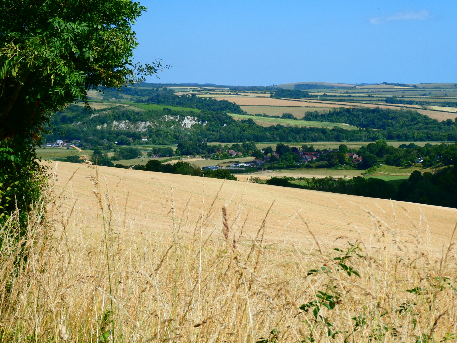
I paused for lunch a little further on, with a broad view ahead from this 750ft perch, down to the sea.

After a slight descent the track goes up the huge mound of Bignor Hill, looking down on a village made famous by Roman remains, and marked by a jokey sign pointing to Londinium.

From the summit there's yet another steep stony descent, but with great views, down to the oddly named Egg Bottom Coppice, after which, inevitably, the route climbs back up again, before crossing another main road, the A29 heading towards Bognor Regis.


From here there is another big descent as the South Downs Way drops into the valley of the River Arun, with splendid views ahead to Amberley and Rackham Hill.
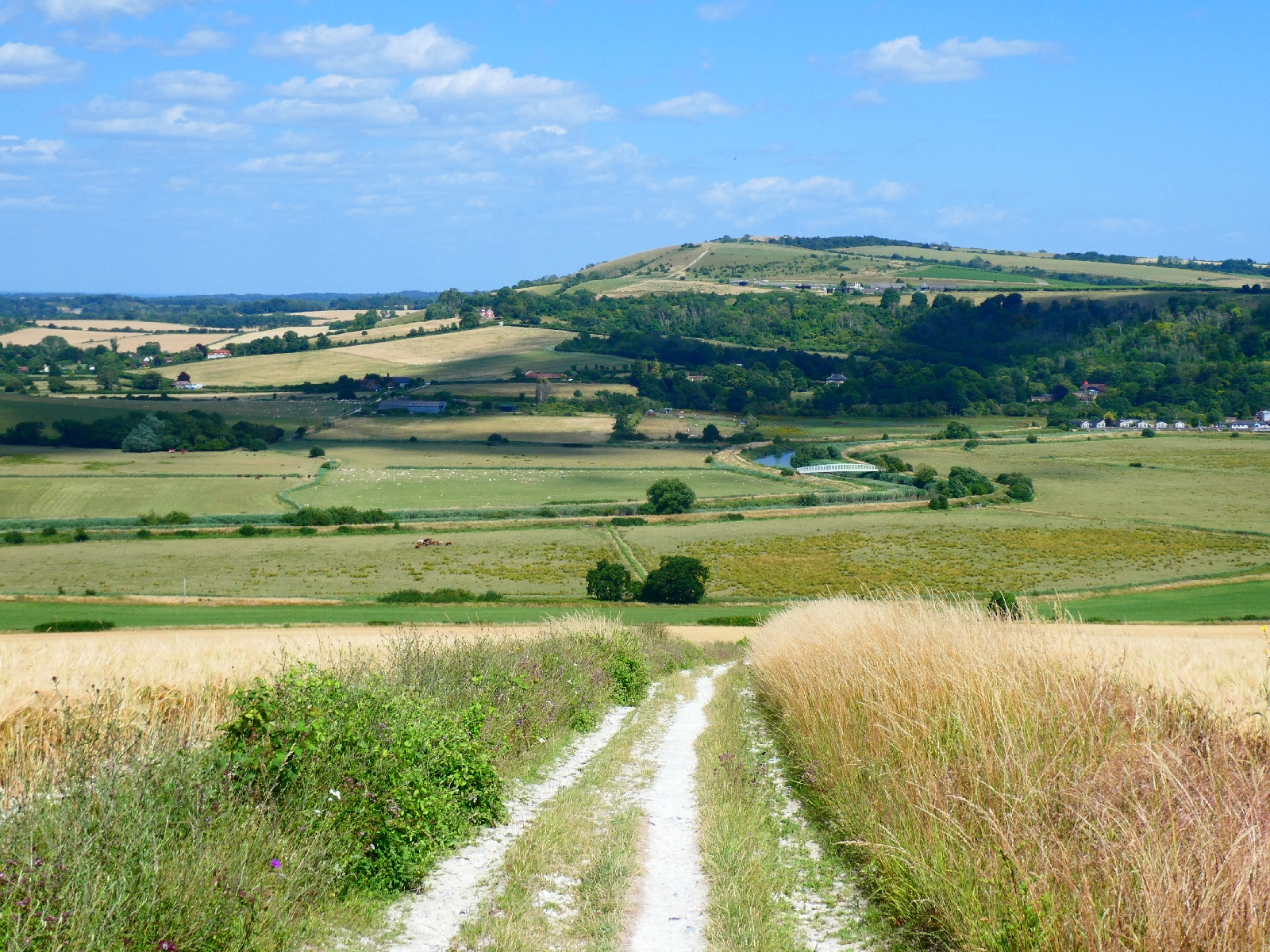
After crossing some flat fields the path joins the riverbank, then crosses the river on a smart footbridge.

Shortly after this I parted company with the official route and headed south to a café near Amberley Station for a cold drink before continuing.
The final three or four miles today went south, firstly along a little lane to North Stoke, where the lane ends.
From here I took a footpath, hoping it would work as described on the map.
It did, just about. It led to a footbridge known as the Ghurka Suspension Bridge. Apparently there had been a suspension bridge over a little offshoot of the Adur since the mid 19th century, but it was destroyed by a fallen tree in 2009. Unhappy with plans to replace it with a basic bridge the locals pulled some strings and persuaded a Ghurka sapper unit to reconstruct a suspension bridge.

Beyond it the path continues to South Stoke, deteriorating near the end, and crosses the Arun again on a modern bridge.
No route on this journey ends without another steep hill, and this was no exception, but it did at least offer a fine retrospect to South Stoke's little church.

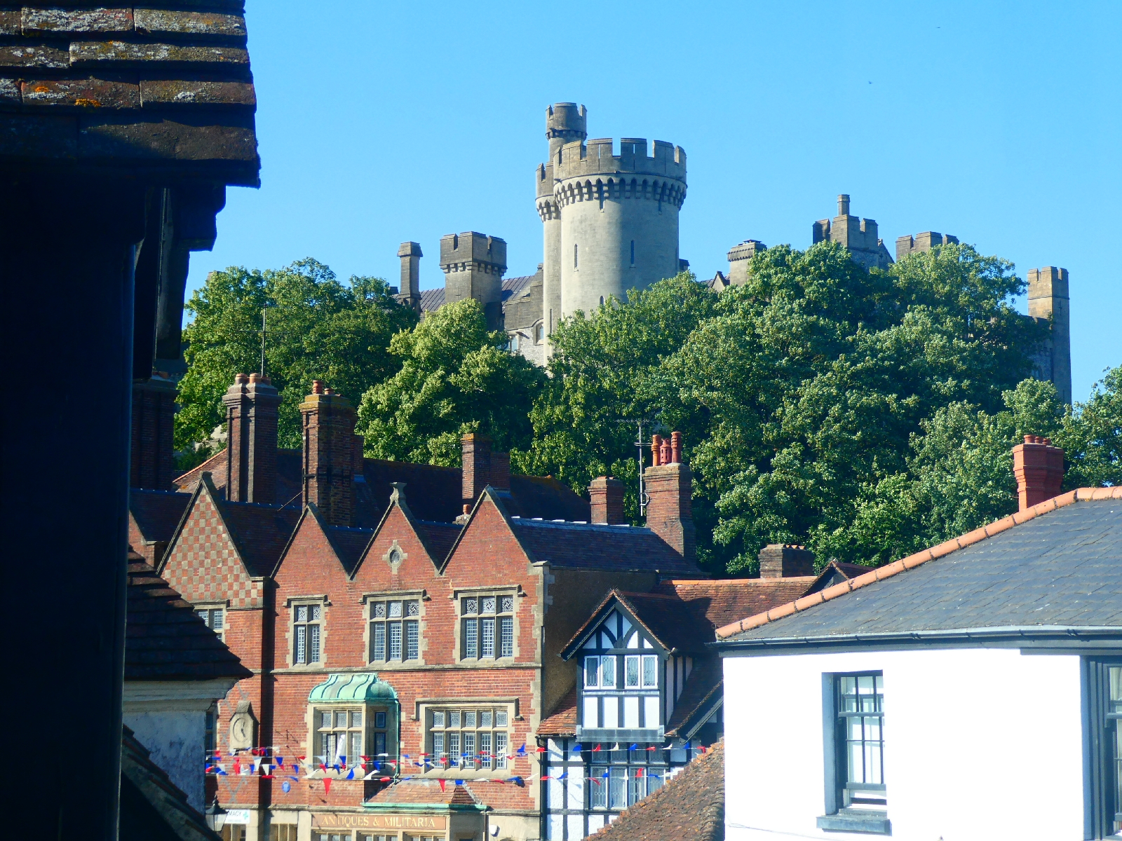
A mile or so more brought me to Arundel, a pretty old town famous for its huge castle and other joys, and so to a bed for the night.

No comments:
Post a Comment