The clear blue sky as I left Lewes this morning was lovely, but the temperature was already a little uncomfortable - and the traffic was ridiculous. My route used a scruffy little footpath off the eastern ring road, which involved a very interesting road crossing.
The narrow overgrown path soon opened to a good track along the foot of Malling Hill, Lewes's own personal lump of downland, and later joined a new shared path avoiding any contact with main roads to the edge of Ringmer.
Here I turned south on a quieter road, still skirting Malling Hill.
A mile or so further I passed Glyndebourne Opera House. The original house is thought to date from the 16th century, nobody is very sure, and the site has hosted opera since 1934. Although the summer festival is in progress it was all very quiet this morning.
Later, at the edge of Glynde village, came Glynde Place, an Elizabethan manor house, and the family home of the Viscounts Hampden - apparently, because there's not much to see from the road. The house is occasionally open to visitors.
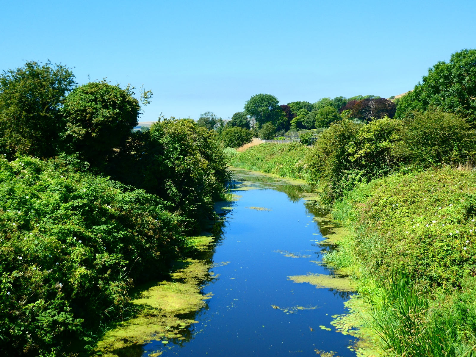
Glynde is a long village with some good cottages, running downhill to a bridge over Glynde Reach, which feeds into the Sussex Ouse, and a railway station, no doubt very useful for opera lovers.
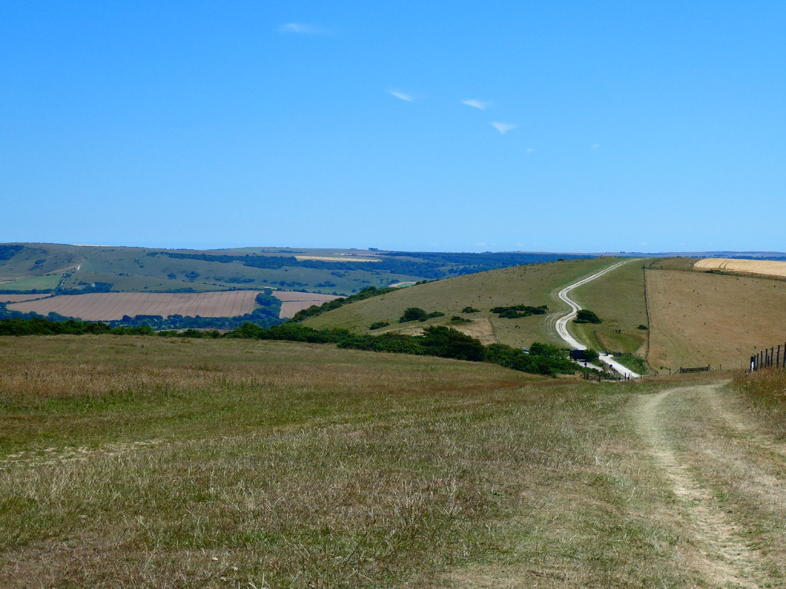
The last stretch of road leading to the east/west A27 dual carriageway opens up the view of Beddingham Hill, the South Downs once more, and of the very steep track up its flank which awaited me.
From the A27 to the top is a climb of over 500 feet, this morning without relent or shade, but with some very fine views back towards Lewes.
I felt quietly grateful for all the ups and downs I'd already walked on this route, as training for strolling up this one.
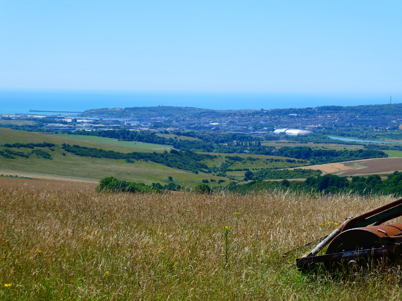
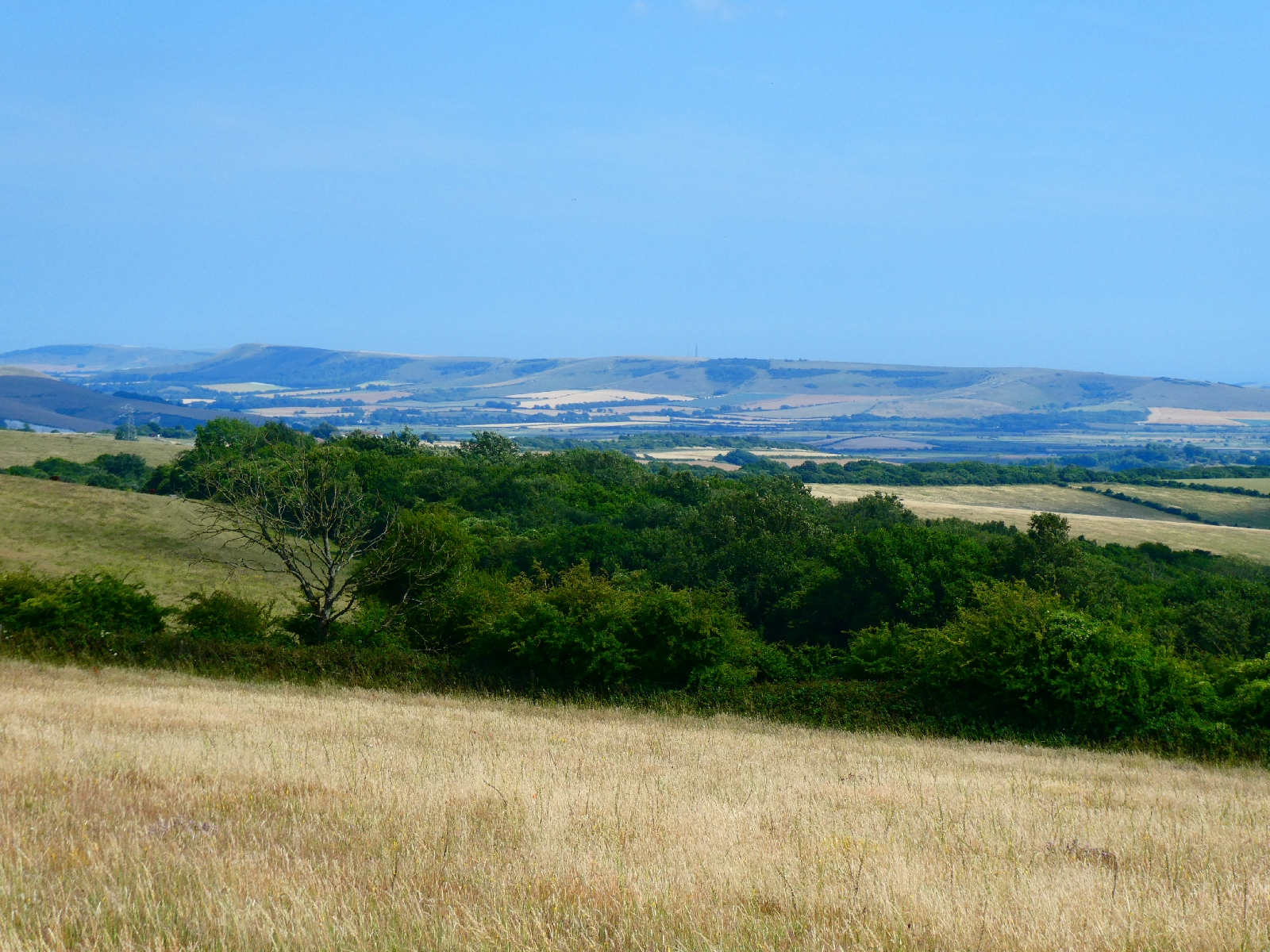
The top of Beddingham Hill is marked by telecomms masts, but the eye is drawn to the big grassy bulk of Firle Beacon, still a couple of miles ahead.
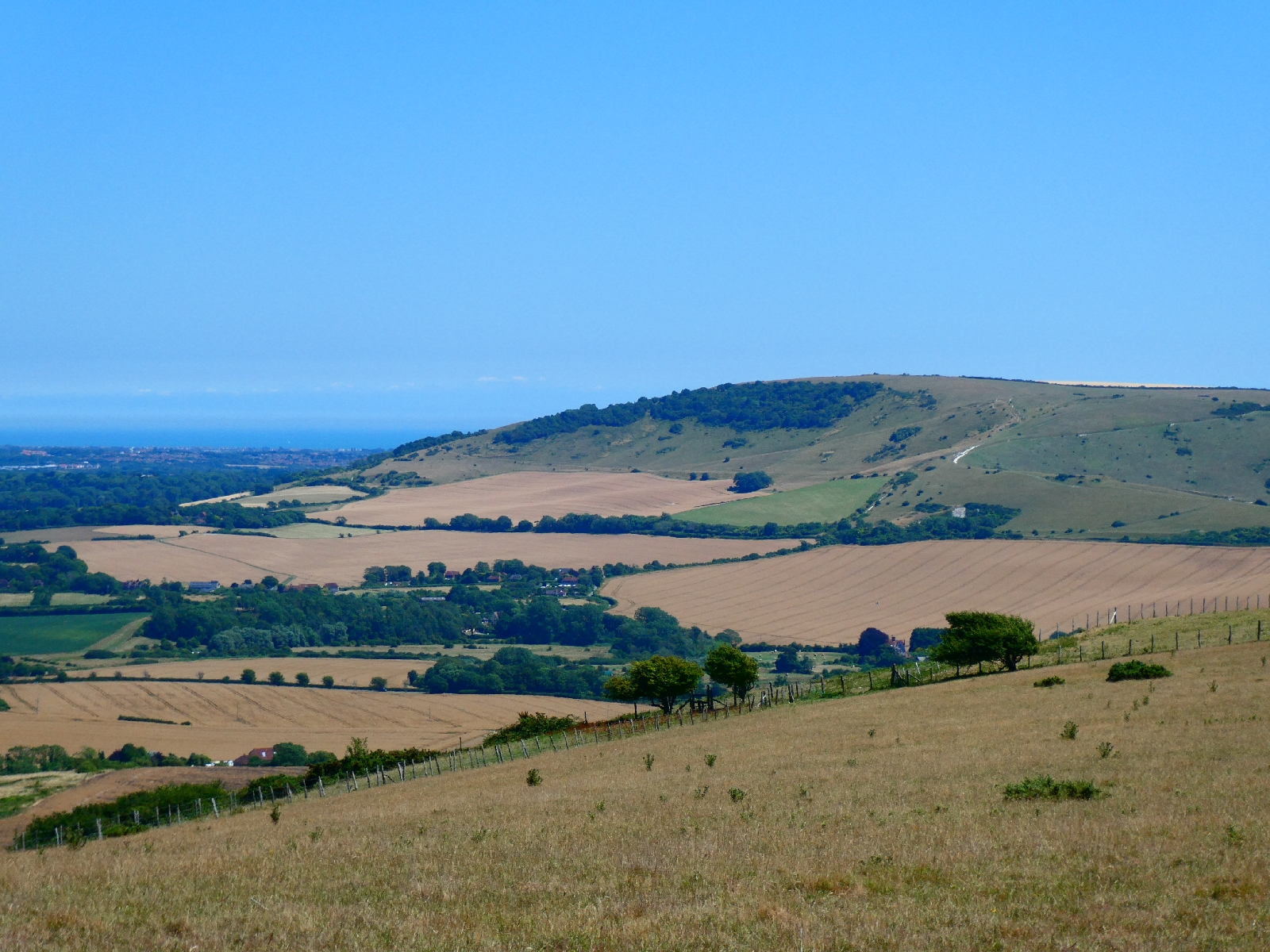
Look behind from here and the view spreads down to Newhaven.
Firle Beacon, at just 713ft, is far from the highest on the South Downs, but its isolated position and distinctive shape make it a real landmark. On a really (really) clear day it's visible from the North Downs, 40 miles away.
At its foot sits Charleston Farmhouse, once a hub for the Bloomsbury set, and the mansion of Firle Place, home of the Gage family since the 15th century. It has featured in many movies and TV programmes (recently in "Bake Off the Professionals") and is often open to the public.
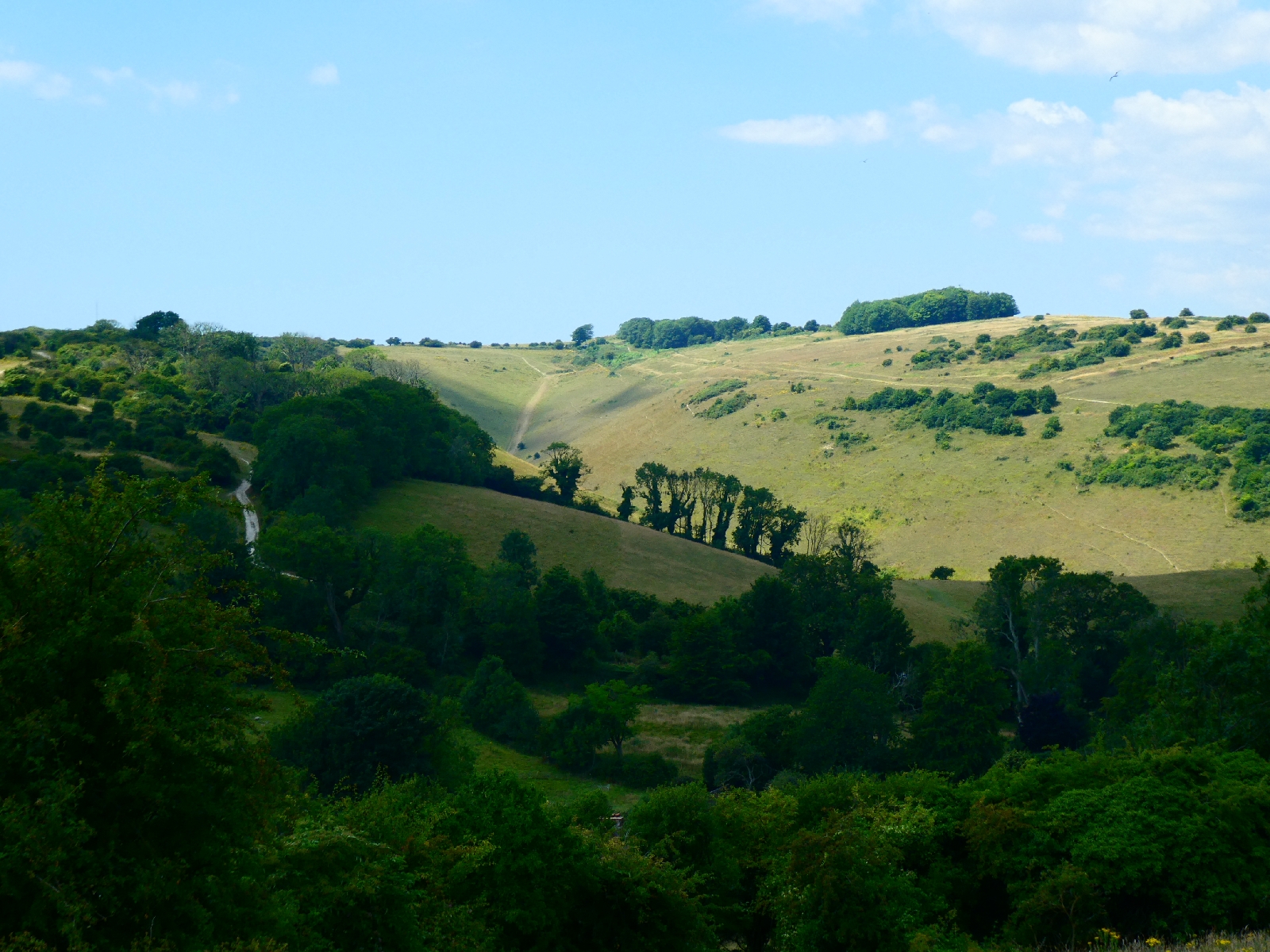
After a pause for lunch sitting on a tumulus near the beacon summit I returned to the South Downs Way, which drops to a small car park at the top of a lane, then rises over Bostal Hill, perhaps sadly the last downland ridge top of this journey.
There is a good view of Windover Hill, across the Cuckmere valley - I had considered climbing it before ending today's trek, but the afternoon heat ruled that out.
The route descends over downland, then across fields and steeply through woods to reach Alfriston.
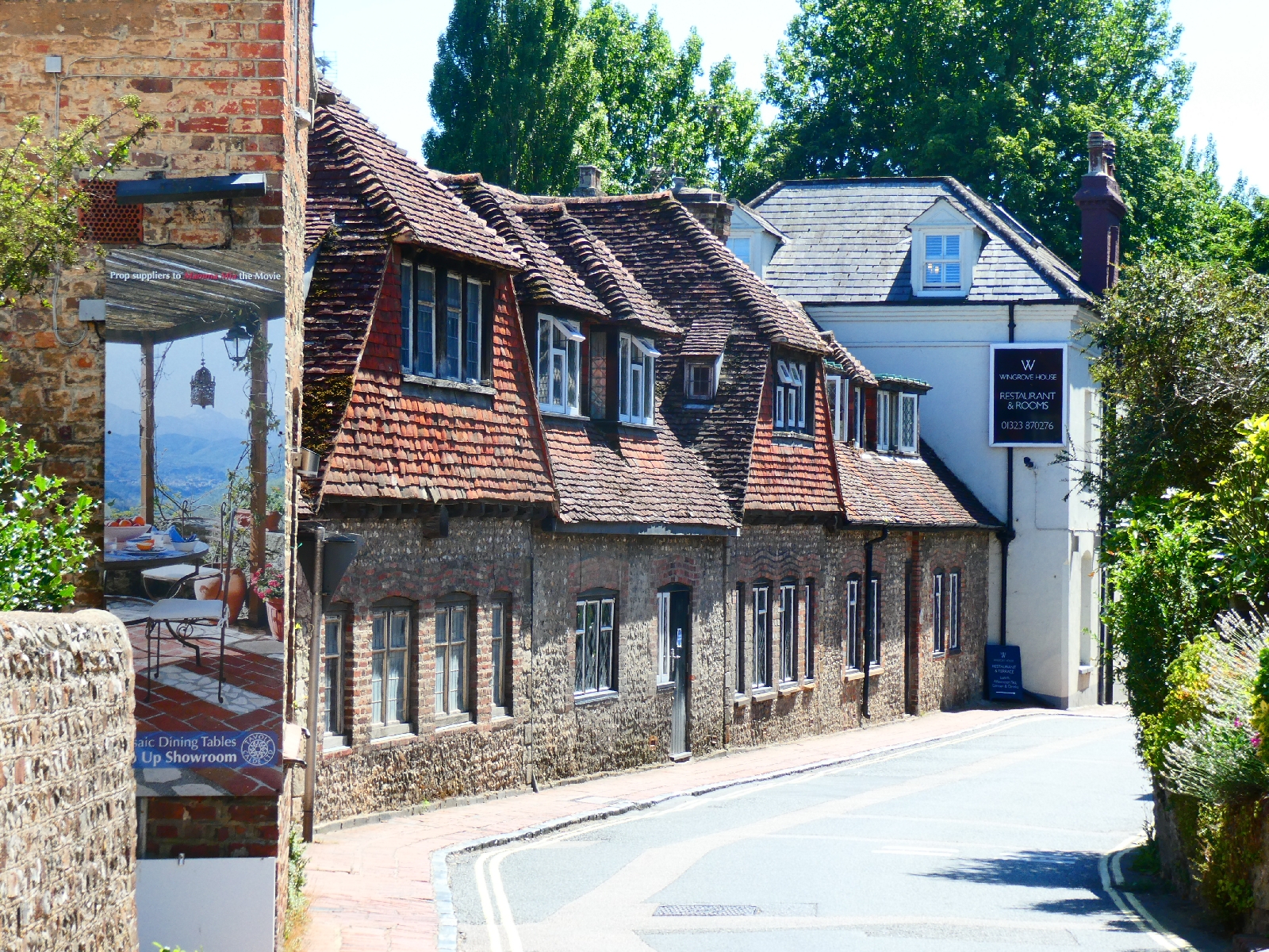
The village is very picturesque and justifies its hordes of tourists.
It's also well provided with pubs, so I rested over a pint before continuing.
The Way crosses the Cuckmere but then takes a typically up and down route, so I chose the road instead. There is still quite a climb to do to escape the village.
Just off the road, hidden from view, and a few yards up a stone path is Lullington church, the Church of the Good Shepherd. It's the smallest church in Sussex, measuring 256 sq ft and with room for just 20 people, and was built from the remains of a larger church apparently destroyed by fire around the time of Oliver Cromwell.
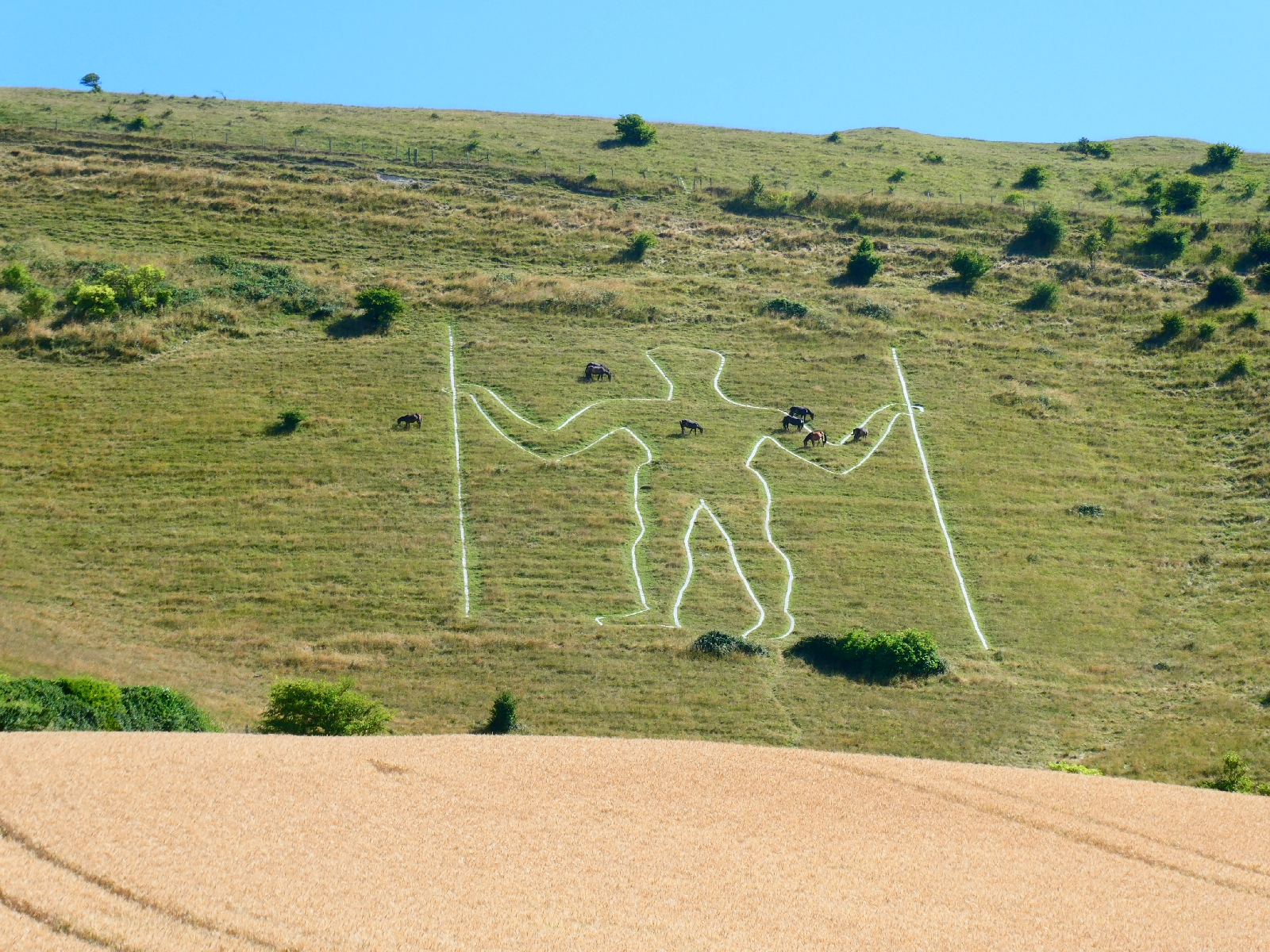
The road continues gradually to contour Windover Hill until suddenly the Long Man comes into view.
At 70 metres he's the tallest chalk figure in Europe, but that's about all that is known about him. Is he ancient, Roman, Saxon, Mediaeval or from the 17th century? Every theory has its fans but nobody knows.
For all that he's an impressive sight.
One of my early thoughts for this trip was to connect another famous chalk giant with this one, but lack of accommodation near Cerne Abbas killed the idea.
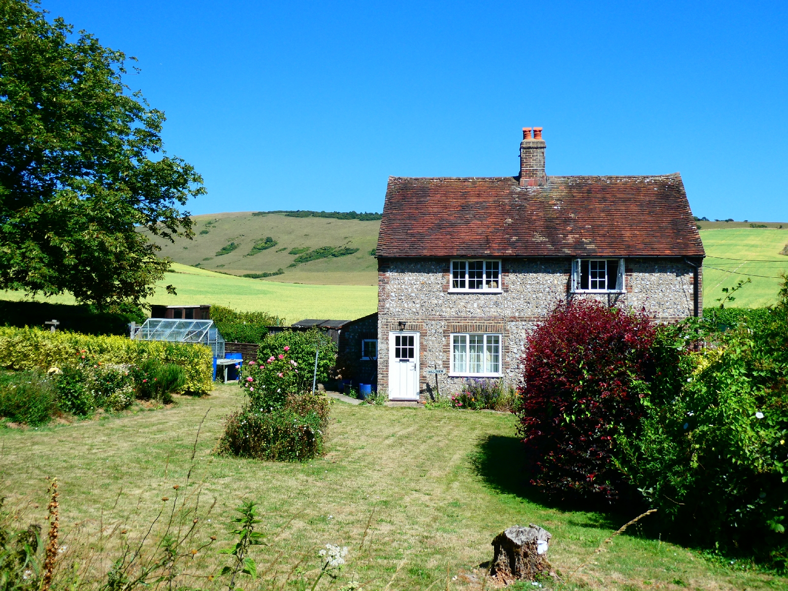
Downhill then into Wilmington village, passing the site of a priory, now a private residence, and a little church hidden in trees, to reach the inn where I will spend the last night of this trip away from home. It's been a short day for mileage today, but great for scenery and views.
An early start is planned for tomorrow, partly to avoid the worst of the heat, partly because the route is a challenging finale... More later.