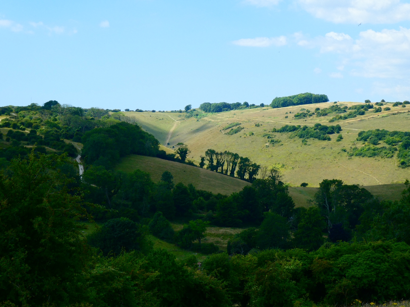
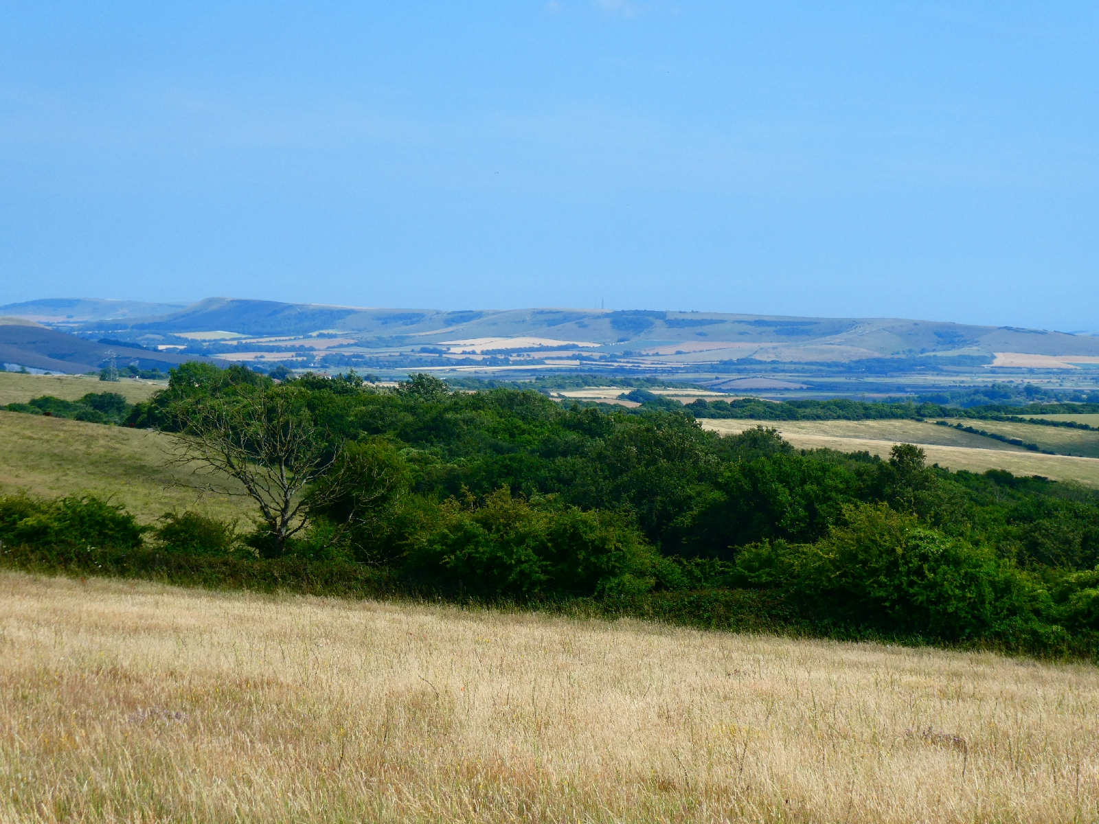
Day 11 - Saturday 12th July - Wilmington to Eastbourne

I set out from Wilmington early this morning, just after 8.30, thinking that the short but vigorous route for the day might risk slipping behind schedule.
Even at that hour it was very warm and the sky was once again a cloudless deep blue.
I reversed yesterday afternoon's route past the Long Man and Lullington, then continued on the same road to Litlington, with another wooden-spire church, they seem typical of the area.


From here I could have rejoined the South Downs Way, but as it goes up and down two large hills between here and Exceat I stuck with the road. It might wriggle a lot and it seemed overpopulated with Range Rovers, but it was level. It also offered views across the Cuckmere to the white horse carved into the slopes of High and Over, a sharp hill crossed by the road from Alfriston to Seaford.


Exceat has a large car park, a Visitor Centre for the Seven Sisters Country Park, and a café with rooms, which I know from experience charges a small fortune for very little, and is far too trendy even to have a TV in any bedroom.


I rejoined the South Downs Way, which soon begins a climb up Exceat Hill - with a good geography textbook view of the huge meanders in the original course of the Cuckmere.


Then, predictably, downhill again before heading into the real grind, where the path climbs doggedly up to Haven Brow, the first top of the Seven Sisters. There's a fine view back to Cuckmere Haven.


Here begins the traverse of the cliffs known as the Seven Sisters, a much tougher walk than it sounds. I've done it twice before, many years ago, but never with a loaded pack.


The path plunges steeply from each of the tops, only to rise equally steeply to the next one. There really are seven tops, so seven steep climbs. The reward is in the scenery, looking forward to the old lighthouse at Belle Tout, or backwards to the growing number of white chalk cliffs.


Unlike much of the rest of my journey, this section, from Exceat to the end of the Way outside Eastbourne, was today very busy. While it was sunny and clear, a seaside breeze kept it cool, so there was plenty of reason for people to be out enjoying it.
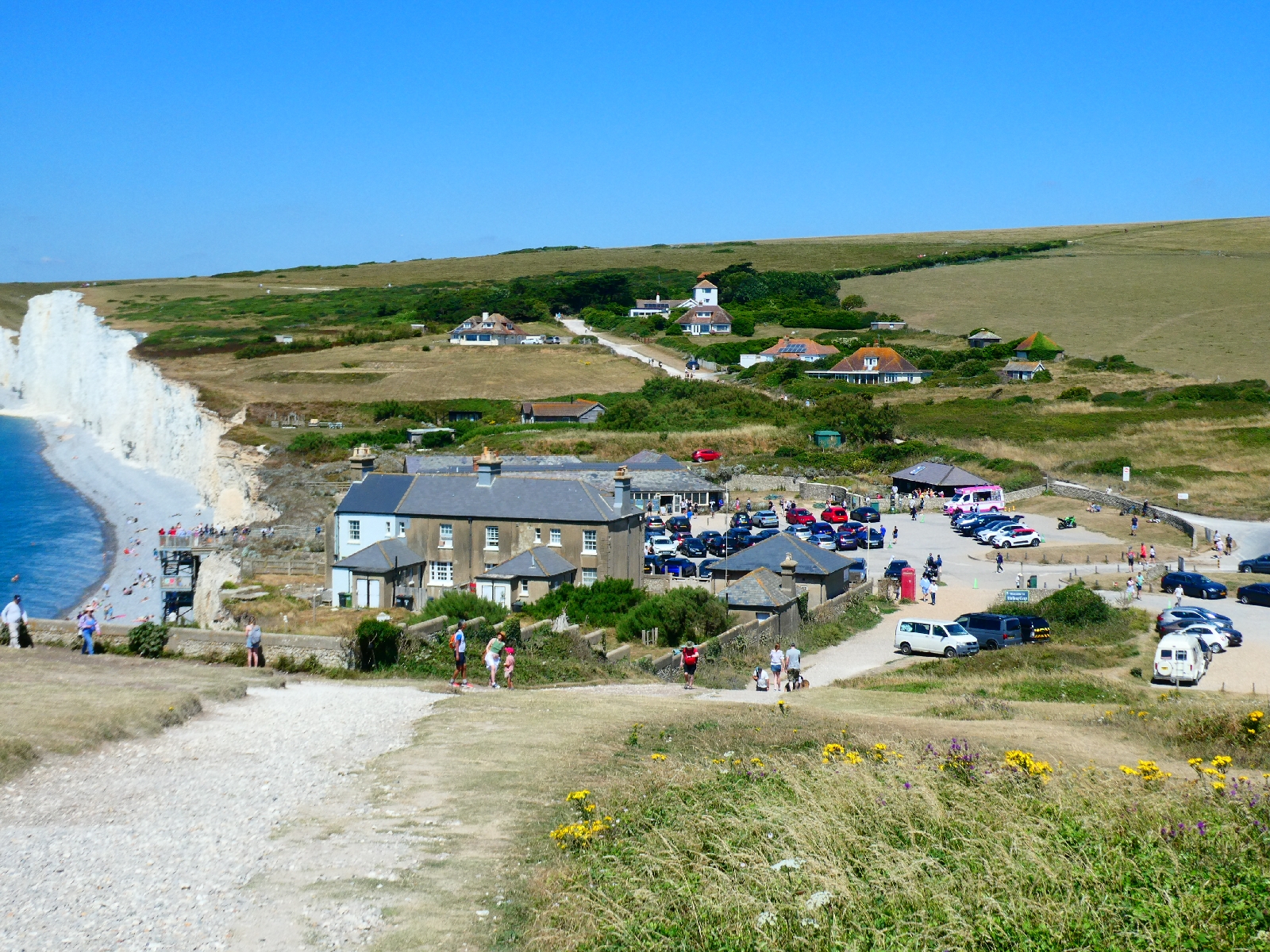
As the Seven Sisters end, the path descends to Birling Gap, normally an unremarkable place with a row of grey cottages, a National Trust café and a car park. Today it was heaving, even tourist coaches were dropping their charges here.

 
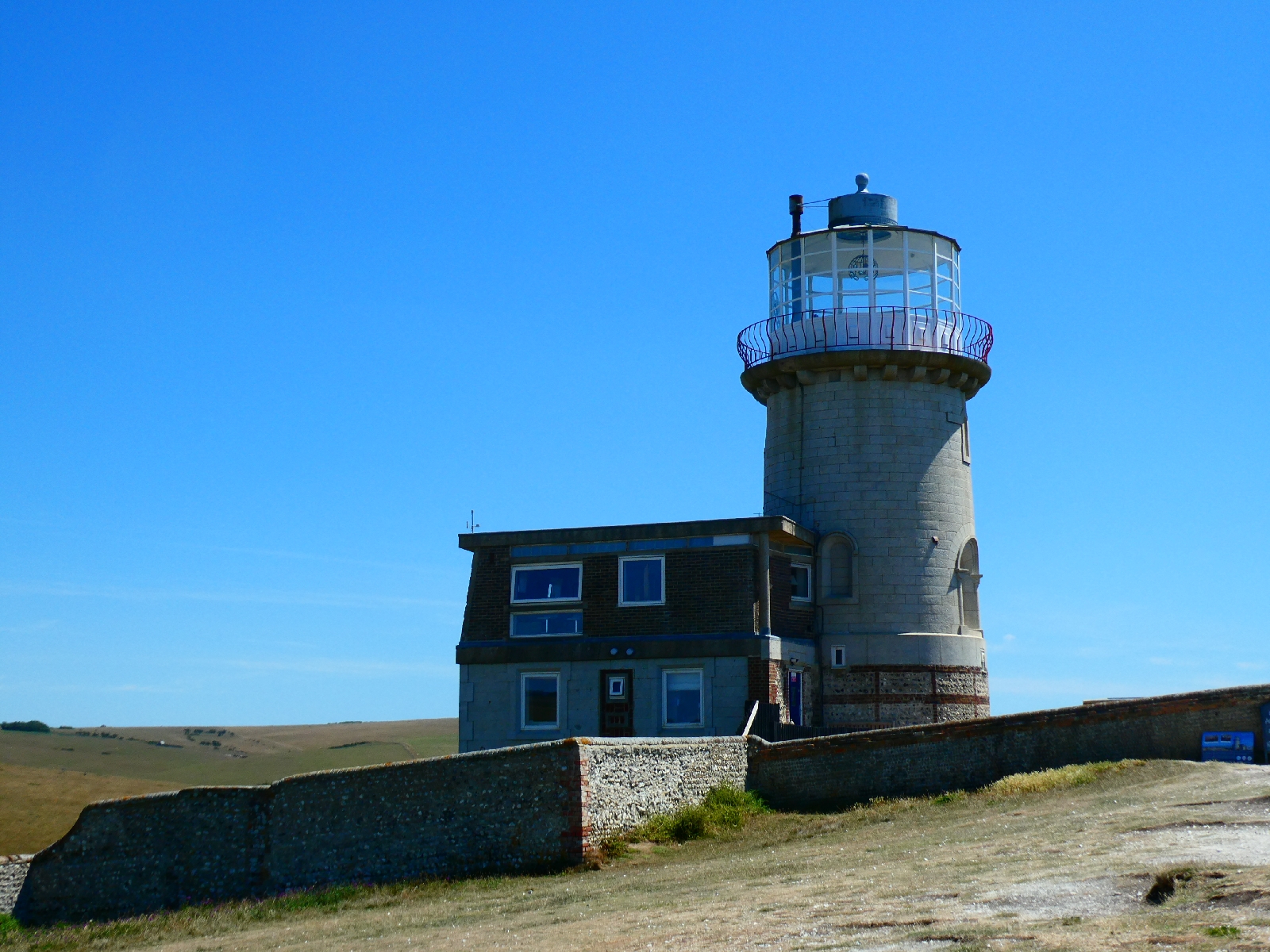
To be fair there's no need to walk far to see a good view of the cliffs, and for those with more energy the path up the next hill to the old Belle Tout lighthouse is clear and not very difficult.


Belle Tout was operational as a lighthouse from 1834 to 1903, unintentionally damaged by Canadian artillery during WW2 and later restored by the local council, which eventually sold it to private owners. In 1999 the whole building was moved 17m inland to prevent cliff erosion from ending its life.
Today there are a few rented rooms, and a café.
Beyond Belle Tout the route takes about a mile to go uphill in three or four stages to the top of Beachy Head, with another car park and café.


The classic image of the red and white lighthouse, also no longer in operation, at the foot of tumbling chalk cliffs can only be found by going a little close to the cliff edge - easy today, but tricky in a high wind.


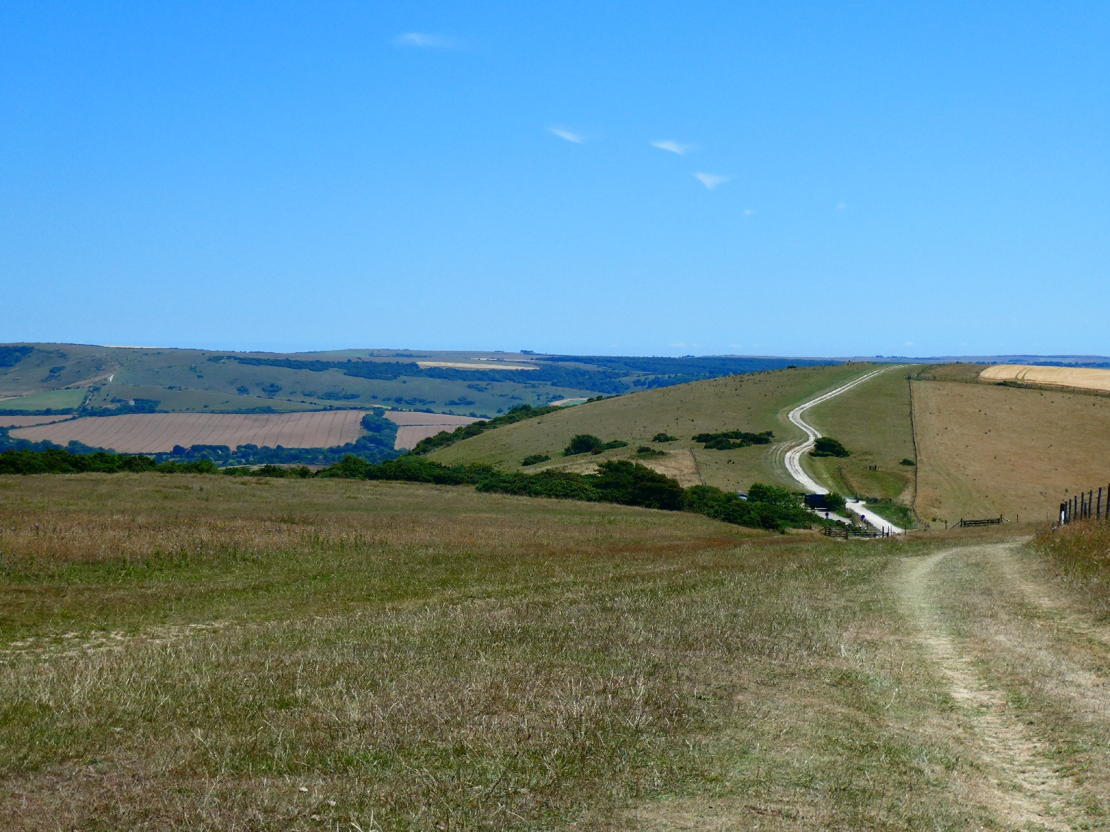
There are multiple paths east of the top, towards Eastbourne, but hardly any signage, so it took some effort to find the right one. This final stage of the South Downs Way goes down gently, but then very steeply to the kiosk at Holywell, and a large board announcing the trail.


From here to Eastbourne pier, which I'd chosen to mark the end of my route, is a long mile and more down to and then along the Promenade, today really crowded.
Relaxed at completing what I'd set out to do I spent a while finding something for a rather late lunch, then took the train back to London and home.

Day 10 - Friday 11th July - Lewes to Wilmington

The clear blue sky as I left Lewes this morning was lovely, but the temperature was already a little uncomfortable - and the traffic was ridiculous. My route used a scruffy little footpath off the eastern ring road, which involved a very interesting road crossing.
The narrow overgrown path soon opened to a good track along the foot of Malling Hill, Lewes's own personal lump of downland, and later joined a new shared path avoiding any contact with main roads to the edge of Ringmer.
Here I turned south on a quieter road, still skirting Malling Hill.

A mile or so further I passed Glyndebourne Opera House. The original house is thought to date from the 16th century, nobody is very sure, and the site has hosted opera since 1934. Although the summer festival is in progress it was all very quiet this morning.


Later, at the edge of Glynde village, came Glynde Place, an Elizabethan manor house, and the family home of the Viscounts Hampden - apparently, because there's not much to see from the road. The house is occasionally open to visitors.


Glynde is a long village with some good cottages, running downhill to a bridge over Glynde Reach, which feeds into the Sussex Ouse, and a railway station, no doubt very useful for opera lovers.


The last stretch of road leading to the east/west A27 dual carriageway opens up the view of Beddingham Hill, the South Downs once more, and of the very steep track up its flank which awaited me.


From the A27 to the top is a climb of over 500 feet, this morning without relent or shade, but with some very fine views back towards Lewes.


I felt quietly grateful for all the ups and downs I'd already walked on this route, as training for strolling up this one.


The top of Beddingham Hill is marked by telecomms masts, but the eye is drawn to the big grassy bulk of Firle Beacon, still a couple of miles ahead.


Look behind from here and the view spreads down to Newhaven.


Firle Beacon, at just 713ft, is far from the highest on the South Downs, but its isolated position and distinctive shape make it a real landmark. On a really (really) clear day it's visible from the North Downs, 40 miles away.


At its foot sits Charleston Farmhouse, once a hub for the Bloomsbury set, and the mansion of Firle Place, home of the Gage family since the 15th century. It has featured in many movies and TV programmes (recently in "Bake Off the Professionals") and is often open to the public.


After a pause for lunch sitting on a tumulus near the beacon summit I returned to the South Downs Way, which drops to a small car park at the top of a lane, then rises over Bostal Hill, perhaps sadly the last downland ridge top of this journey.

 
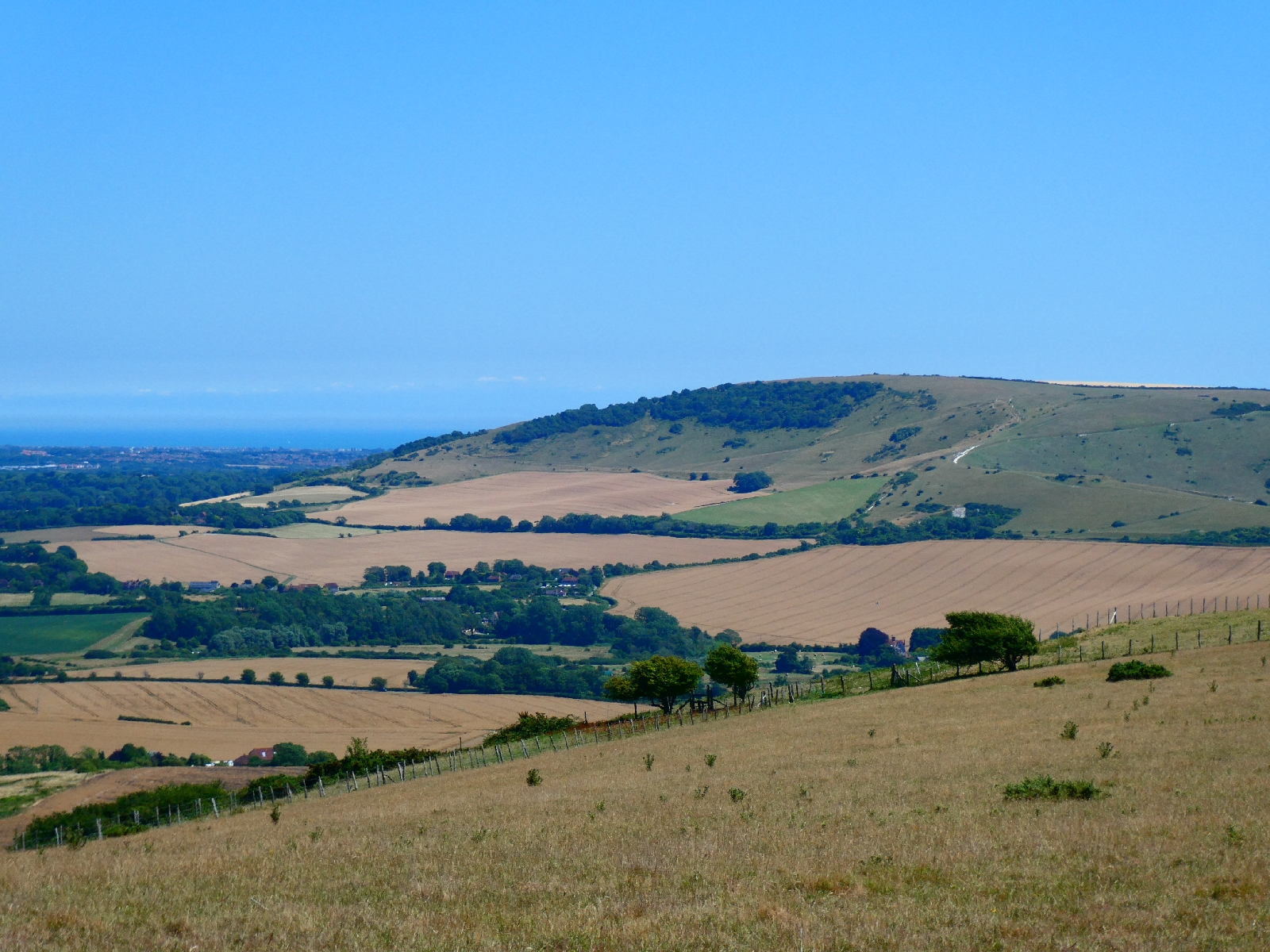
There is a good view of Windover Hill, across the Cuckmere valley - I had considered climbing it before ending today's trek, but the afternoon heat ruled that out.

The route descends over downland, then across fields and steeply through woods to reach Alfriston.


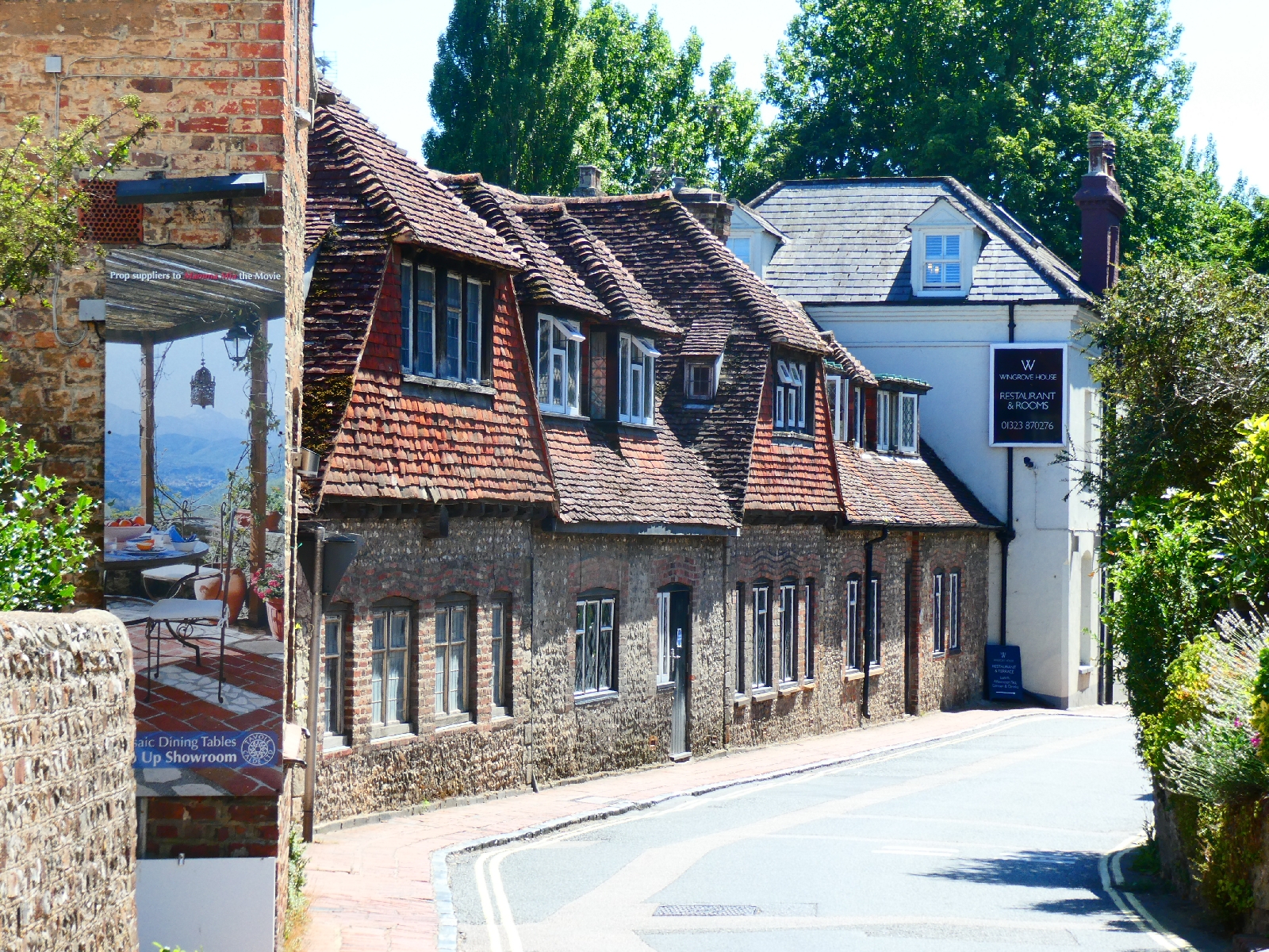
The village is very picturesque and justifies its hordes of tourists.


It's also well provided with pubs, so I rested over a pint before continuing.
The Way crosses the Cuckmere but then takes a typically up and down route, so I chose the road instead. There is still quite a climb to do to escape the village.


Just off the road, hidden from view, and a few yards up a stone path is Lullington church, the Church of the Good Shepherd. It's the smallest church in Sussex, measuring 256 sq ft and with room for just 20 people, and was built from the remains of a larger church apparently destroyed by fire around the time of Oliver Cromwell.


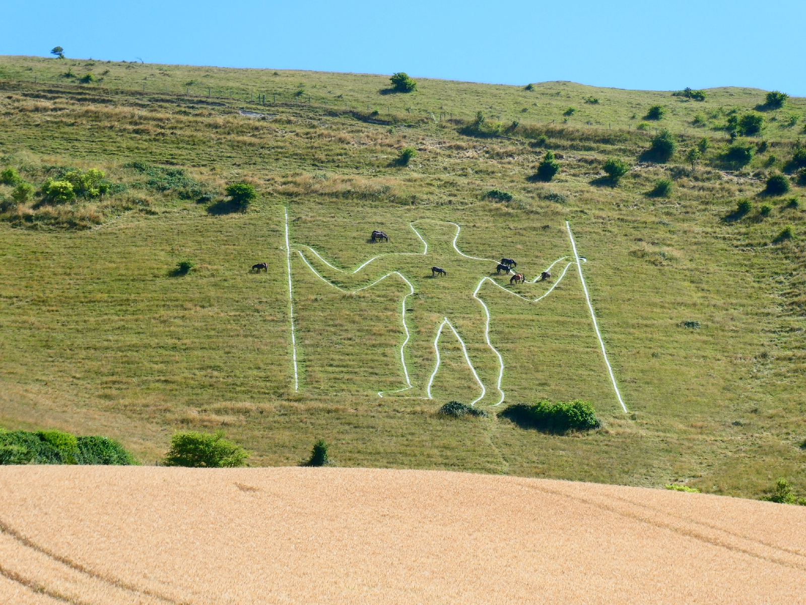
The road continues gradually to contour Windover Hill until suddenly the Long Man comes into view.
At 70 metres he's the tallest chalk figure in Europe, but that's about all that is known about him. Is he ancient, Roman, Saxon, Mediaeval or from the 17th century? Every theory has its fans but nobody knows.
For all that he's an impressive sight.


One of my early thoughts for this trip was to connect another famous chalk giant with this one, but lack of accommodation near Cerne Abbas killed the idea.
Downhill then into Wilmington village, passing the site of a priory, now a private residence, and a little church hidden in trees, to reach the inn where I will spend the last night of this trip away from home. It's been a short day for mileage today, but great for scenery and views.
An early start is planned for tomorrow, partly to avoid the worst of the heat, partly because the route is a challenging finale... More later.

Day 9 - Thursday 10th July - Bramber to Lewes

The forecast for today threatened high temperatures, 27-29 degrees with quite high humidity, which might not sound much for some parts of the world but it's significant with a loaded pack, 17 miles and a tough day for ups and downs.
A mile or so of level walking brought me to the first climb back up towards the downland ridge. 

That was a long perspiring trudge but rewarded with good views stretching back to Chanctonbury Ring.

The uphill continued on a little lane, leading to Truleigh Hill Youth Hostel.
There aren't so many of those left. The first time I walked the South Downs, aged just 17, with a schoolfriend, we travelled from hostel to hostel, slept in bunks and couldn't leave without having done some chore or other. Truleigh Hill looked more like a B&B with a café and - heaven forbid in the past - a car park.
Truleigh Hill is a landmark only for its radio telecomms masts.


The path descends to a viewpoint overlooking the steep escarpment, then switchbacks over a series of hilltops - Edburton Hill, Perching Hill, Fulking Hill - always with superb views north to the landscape below.


It's possible to become blasé about such amazing views when they're there all the time.
Luckily there was a breeze coming up from the sea, also always in view to the south, so the temperature was bearable.
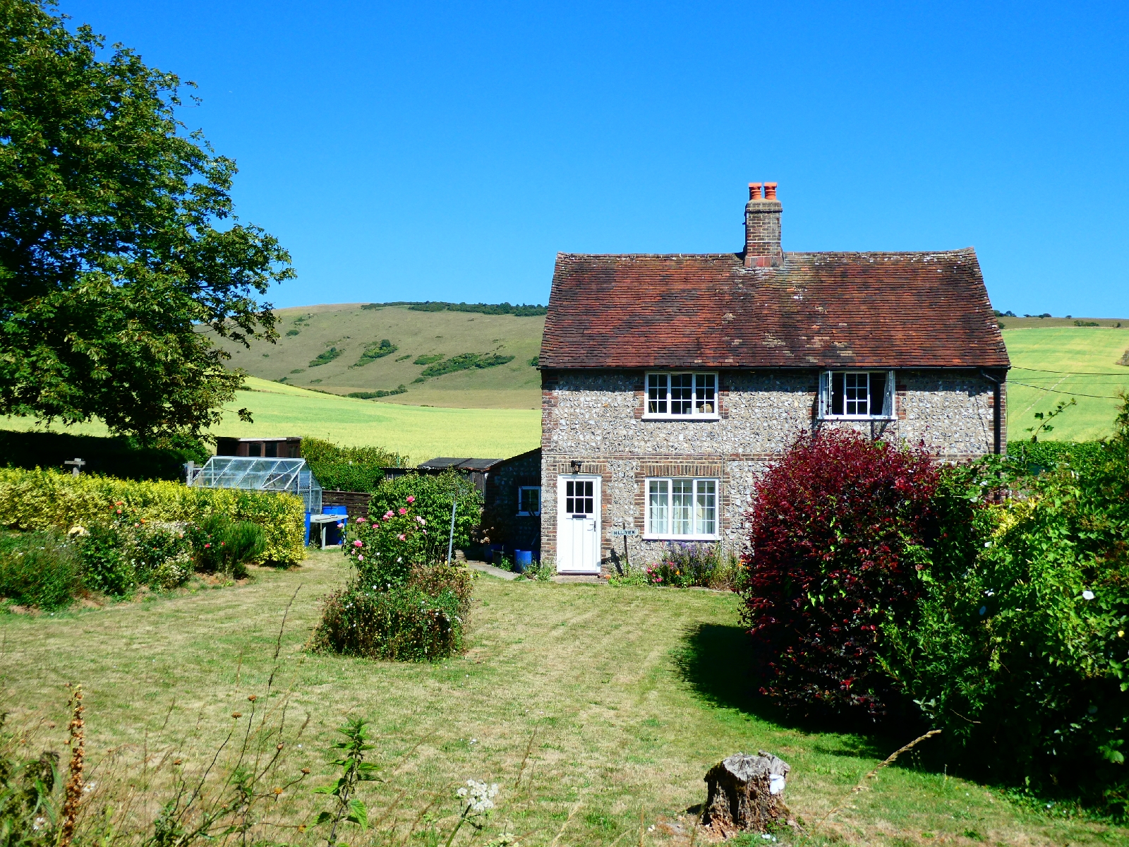
Things got busier approaching the Devil's Dyke, although most were heading for the pub, the café the car park, while the South Downs Way steers clear and passes along the dyke's southern edge.
The Devil's Dyke is a natural steep combe in the chalk hills, a well known visitor attraction since Victorian times, not least because it is close to Brighton, whose tall buildings and seafront tower are visible from the trail.


The route then descends steeply to the hamlet of Saddlescombe, before going straight back up again to the top of Newtimber Hill, regaining every foot of altitude. In compensation there is a fine view back into the Devil's Dyke.


What goes up on this route must go down again, all the way down to Pyecombe, and a bridge to cross the noisy and busy A23 dual carriageway rushing down to Brighton.
And then of course back uphill again, through the local golf course - which must be quite energising - before turning to regain the ridge top.


Here I was close to another landmark - a pair of windmills known as Jack and Jill, or the Clayton Windmills. Jack dates from the 1860s, Jill is around thirty years older and occasionally open to the public.
Both, however, were some way off the route, and downhill, so I left that diversion to one side and continued the stony slog back up to 750 feet, and the point where I crossed from West Sussex to East Sussex, the last of five counties on this journey.


The path turned grassy and very pleasant for the next half mile, shared with sheep who seemed more interested in finding any shade they could.


Next came Ditchling Beacon, another well-known landmark, and - unusually for downland hills - marked by a trig point. At 813 feet, one of the highest tops on these hills, perhaps it deserves it.


I remember from decades ago that the small car park on the road below the top used to be blessed with an ice cream van. So it was today....
From here the path once more goes uphill and downhill, passing Plumpton Plain, before turning south. 

The official route here makes a long traverse to another section of the downs, clearly in view.

I left it behind and continued to follow the same ridge heading for Lewes. This line passes Blackcap, with the crown of trees which probably gave it its name, and Mount Harry, before beginning the long descent into the town.

Lewes is a fine town, obviously well-to-do, with a castle and many handsome buildings - also my resting place for tonight.